
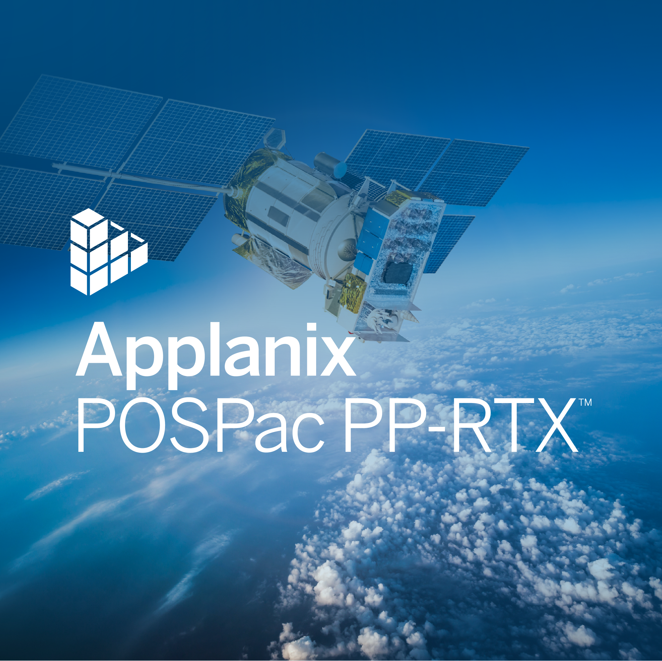
Applanix POSPac PP-RTX™
Correction Service for Applanix Products and Solutions
Applanix POSPac PP-RTX™ is a cloud-based solution providing centimeter-level post-processed positioning accuracy without the need to set up or maintain local base stations. Trimble CenterPoint® RTX™ correction service utilizes data from a dedicated global network of tracking stations to compute corrections to satellite orbit and clock information as well as atmospheric delay models.

Trimble Applanix
Richmond Hill, CA
Description
Applanix POSPac PP-RTX™ is a cloud-based solution providing centimetre-level post-processed positioning accuracy without the need to set up or maintain local base stations. Trimble CenterPoint® RTX™ correction service utilizes data from a dedicated global network of tracking stations to compute corrections to satellite orbit and clock information as well as atmospheric delay models. POSPac uses this data to post-process the GNSS-inertial trajectory as an alternative to the known SingleBase, SmartBase, and Multi-SingleBase augmentation processing methods.
Map inaccessible regions that have no existing CORS without the cost of deploying local base stations
Attain more uptime and reliability with Trimble’s professionally managed, highly maintained private network
Achieve centimetre-level accuracy within minutes
Maximize productivity – reduce acquisition costs and rework costs
Streamlined map production workflow – faster production and better accuracy
APPLICATIONS
CREWED AIRBORNE: Due to the mission size, crewed airborne projects can easily exceed the maximum of 20 km distance from a single base station that is required for a precise GNSS-Inertial solution. POSPac PP-RTX has no such limitation and is hence ideal for crewed aerial surveys. Furthermore, since POSPac PP-RTX is a global service, it eliminates the cost and headache of setting up or procuring local base stations in different countries or remote locations. The duration of a typical manned survey mission is well above 30 minutes which means allows running it in the fast or standard region at the precision outlined under question 3).
UNCREWED AIRBORNE: Short flights (10 – 30 min) require fast region coverage for best performance. Long flights (> 30 min) can make use of both regions without any performance loss. This is particularly useful for BVLOS applications or longer linear flights such as those associated with corridor mapping. POSPac PP-RTX is also ideal for UAV mapping applications in remote regions such as in mountainous and forested areas where existing base stations are not present and setting up a base station can be difficult.
LAND APPLICATION: POSPac PP-RTX currently requires clean GNSS observables with minimal cycle slips and interruptions. This means for Land applications that are exposed to frequent GNSS disruptions (buildings, vegetation, tunnels) in urban environments the POSPac PP-RTX service will not be able to achieve full accuracy. For missions in rural areas with no or only a few GNSS obstacles, it may produce adequate results. Please contact Applanix for more details
MARINE APPLICATION: The POSPac PP-RTX service can be used for all POS MV systems and applications. For offshore projects and remote coastal line surveys it is the only cost-effective method for achieving cm-level position accuracy. Surveys in ports or missions close to the mainland, it eliminates the cost needed to procure or set up local base stations.
Read the Infosheet >
Read the White Paper >
Read the Frequently Asked Questions >
Do you have questions about this product?
- Questions about price, availability, and/or retailers
- Questions about technical specifications and usage
- Questions about suitability for your project or application
Specifications
-
General
-
Area of application
Processing type
-
Requirements
-
Operating System
-
Corrections base
-
Signal
-
Miscellaneous
-
Subscription
Documents
Brochure
Infosheet_CenterPoint-RTX-and-PP-RTX.pdf


