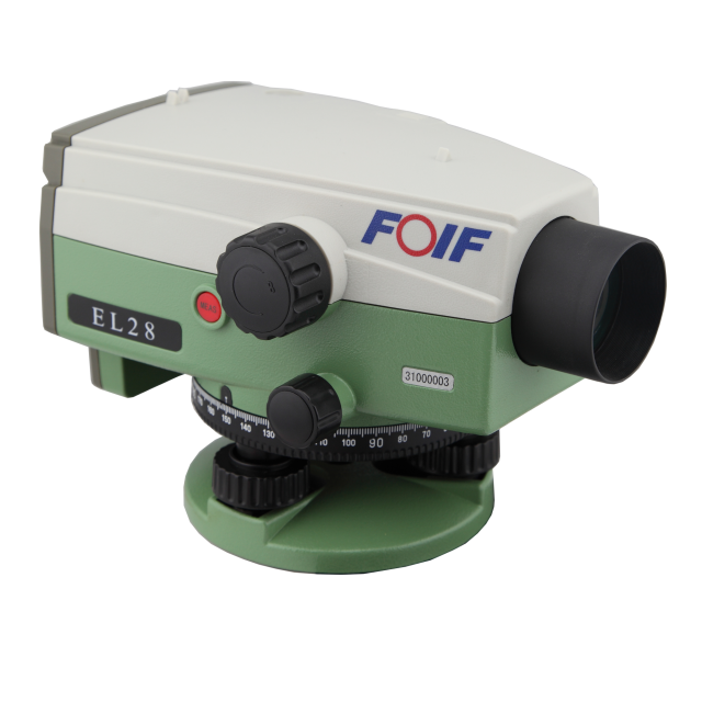
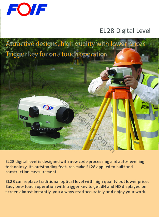
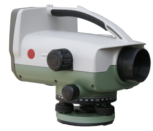
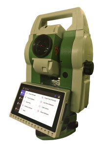
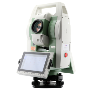
EL28 Digital Level
EL28 digital level adopts advanced coding recognition technology and automatic leveling technology, designed for a variety of different engineering level measurements, used for national third and fourth level measurements, its reliability is suitable for all kinds of engineering applications, its convenience can greatly improve work efficiency, as the current domestic market's cost-effective digital level it can be used as a traditional optical and mechanical level upgrade and replacement product.

FOIF
Suzhou, CN
Description
◎The operation is convenient and practical, no professional measurement knowledge is required, and the height and distance to be measured can be obtained with just one click;
◎Compared with the time required for traditional level measurement, the work efficiency is effectively increased by 30%;
◎Low power consumption, a single battery can meet the needs of more than a week of work, the shape of the whole machine is small, easy to carry;
◎Digital display, intuitive reading, can avoid unnecessary manual reading error;
◎Specially it has digital level compensator inspection technology, which greatly improves the accuracy and stability of level measurement;
◎The software realizes the functions of elevation and height difference measurement, positive/inverse staff measurement, electronic i-angle correction, measurement unit setting, automatic shutdown setting, software version display and so on;
◎The level can be controlled by the PC to realize the software upgrade outside the machine;
Places of use:
※ Leveling net measurement
※ Deformation monitoring, land subsidence monitoring
※ Industrial measurement
※ Tunnel and mine surveys
※ Topographic survey, leveling line survey, area leveling survey, leveling net survey, contour line survey
※ Road and railway construction stakeout, longitudinal section measurement, cross-section measurement, elevation stakeout.
Do you have questions about this product?
- Questions about price, availability, and/or retailers
- Questions about technical specifications and usage
- Questions about suitability for your project or application
Specifications
-
General
-
Operating temperature: min. [°C]
-20
Operating temperature: max. [°C]
50
Water sand and dust proof
IP54
Weight [kg]
2
Year of introduction
2014
-
Telescope
-
Autofocus
N
Objective aperture [mm]
40
Telescope magnification
28
Viewing section at 100 meter [m]
2.6
-
Compensator
-
Accuracy of compensator or bubble
0.4"
Automatic compensator
Y
-
Operation Characteristics
-
Min. measuring range [m]:
2
Max. measuring range [m]
80
Measuring time [s]
2
Automatic height measurement
Y
Automatic distance measurement
Y
Automatic angle measurement
N
Visible guiding light
N
-
Power
-
Battery
Y
Max. operation time on one battery [hr]
40
Documents
Brochure
EL28 brochure_En.pdf
2.44 MB
