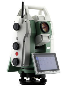


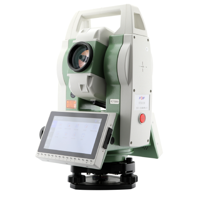

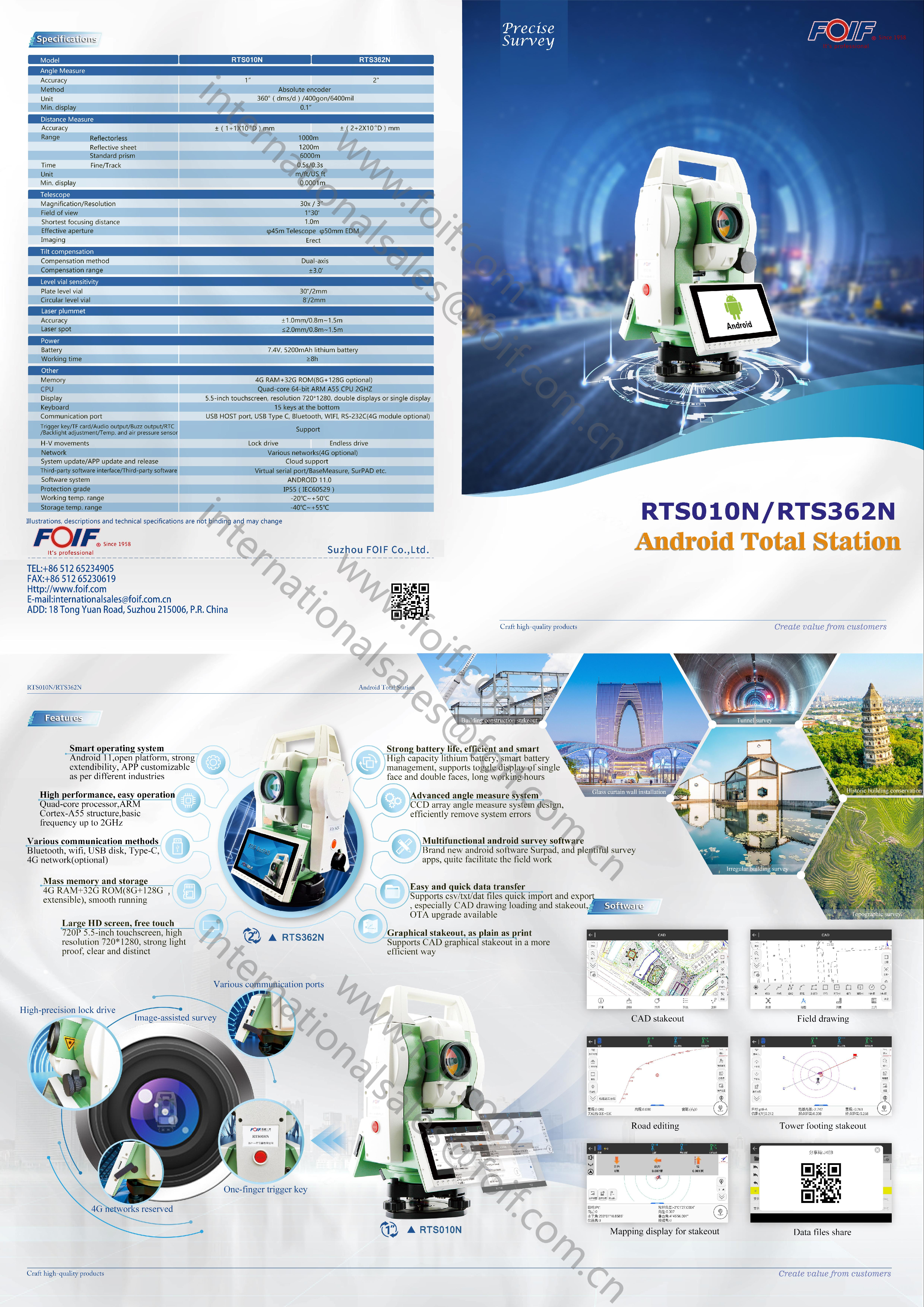
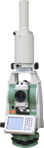
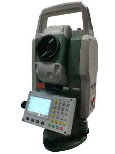
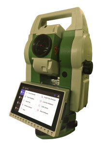
RTS010N Android Total Station
RTS010N is our new generation of total station with 1"/1mm+1ppm based on smart android operation system, which can bring user superb survey and stakeout experience by mapping!

FOIF
Suzhou, CN
Description
FOIF's latest innovation, the RTS010N, stands as the pinnacle of total station technology, integrating a smart Android operating system. This cutting-edge system redefines surveying and stakeout experiences by providing exceptional mapping capabilities. Its advanced features and capabilities unlock a realm of possibilities for seamless and precise surveying tasks, elevating efficiency and accuracy to unprecedented levels.
Do you have questions about this product?
- Questions about price, availability, and/or retailers
- Questions about technical specifications and usage
- Questions about suitability for your project or application
Specifications
-
General
-
Area of Application
Construction, land management, geodesy, heritage protection, etc.
Year of introduction
2023
Display Panel
double displays with 15 keys at the bottom
Depth [m]
0.205
Height [m]
0.36
Weight [kg]
6.5
Width [m]
0.23
Year of last update
2023
-
User Interface
-
Color display
Y
No. faces
2
No. keys
15
Note recording capability
Y
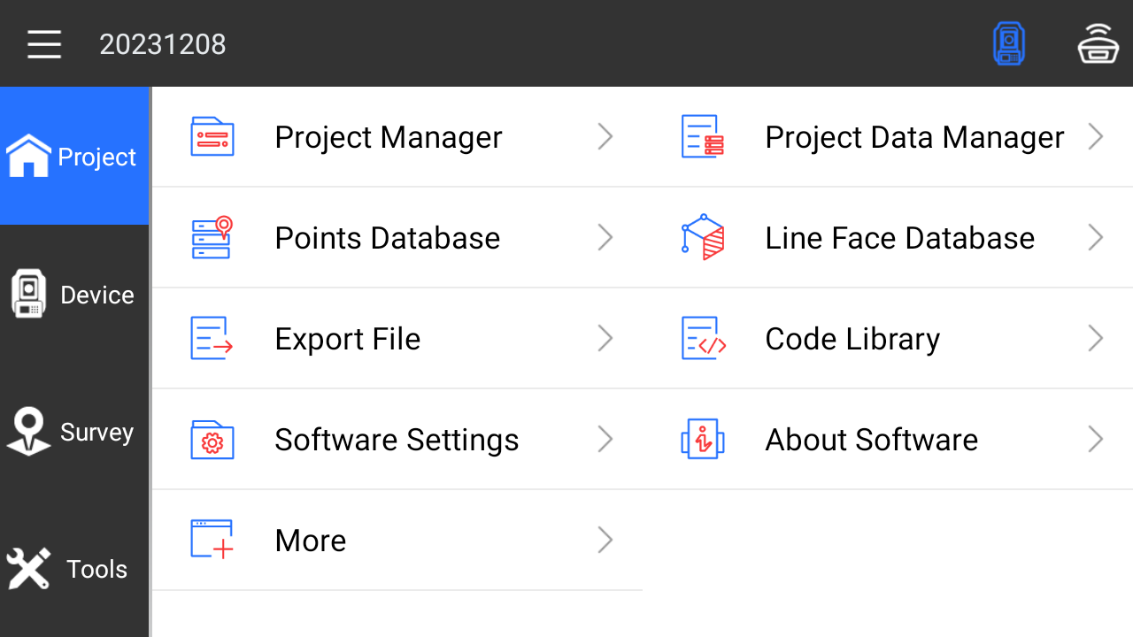
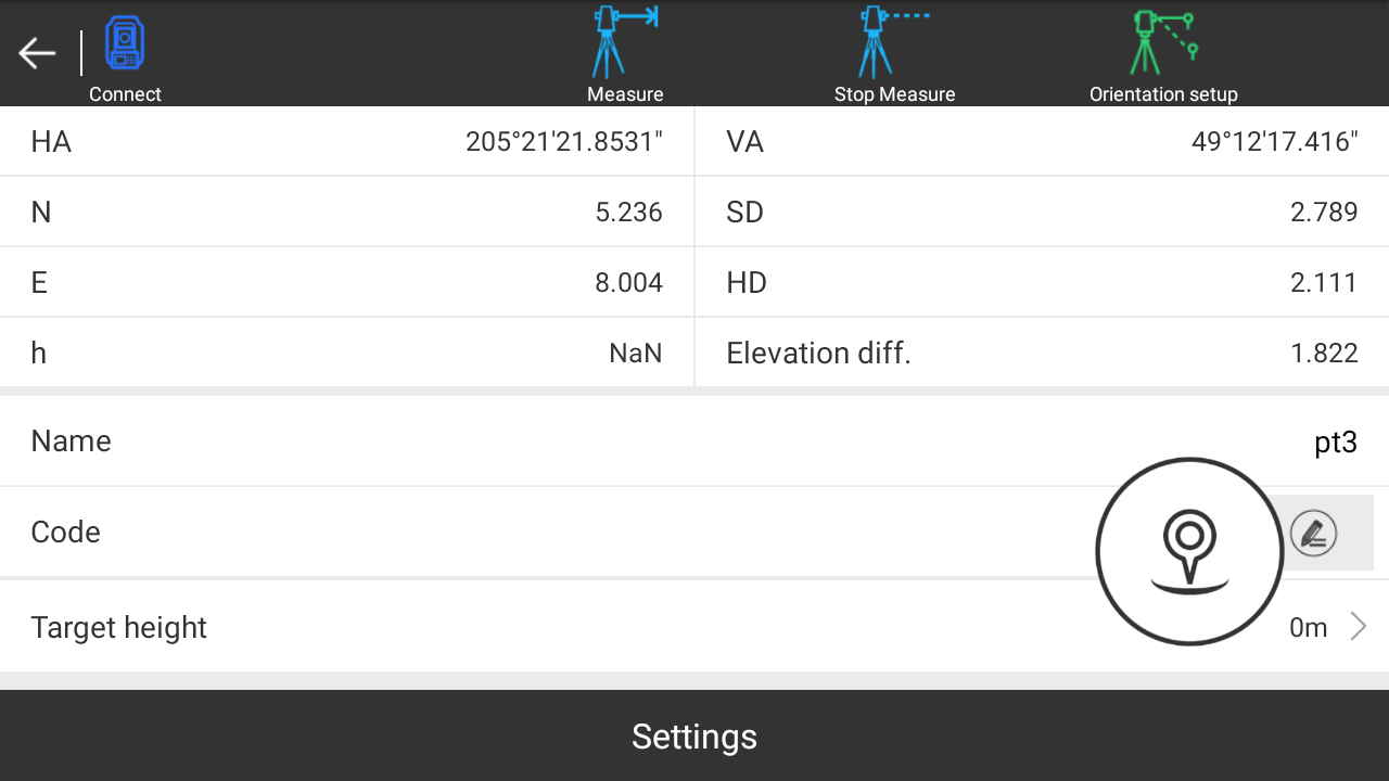
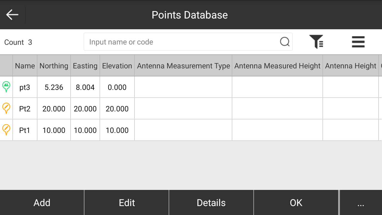
On-board survey software
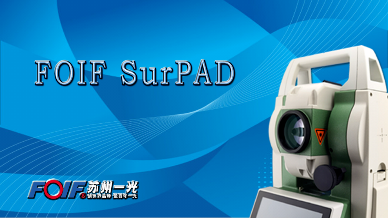
FOIF BaseMeasure, FOIF Surpad
Operating System
Android 11.0
Resolution [px rows x columns]
720*1280
Screen type
LCD
Screen size: length of diagonal ["]
5.5
Touchscreen
Y
-
Distance Measurement with Prism
-
Maximum range with 1 standard prism [m]
6000
Standard deviation: variable part [ppm}
1
Standard deviation: constant part [mm]
1
Prism EDM Accuracy [mm]
1mm+1ppm
Measuring Time [s]
0.5
Maximum range with 1 mini prism [m]
800
Maximum range with combined prisms [m]
6000
No. prisms for maximum range
3
Prism EDM Range [m]
6000
-
Integrated camera
-
Integrated camera available [Y/N]
Y
-
Data Storage & Connectivity
-
Bluetooth {Y/N}
Y
Compact Flash [Y/N]
Y
Radio [Y/N]
N
RS-232 /422 Serial [Y/N]
Y
SD Card [Y/N]
N
USB [Y/N]
Y
WiFi {Y/N}
Y
-
Miscellaneous
-
Guiding light
Y
Integration with GNSS receiver possible [Y/N]
Y
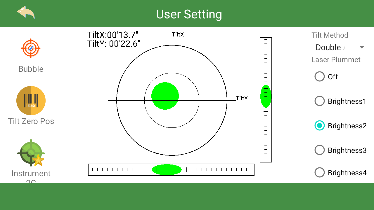
Laser plummet
Standard
-
Automatic Tracking and Locking
-
Tracking and recovery of moving prism
N
Maximum Range [m]
No
-
Robotic operation
-
Camera in controller
N
Compatible with GNSS for detail survey
N
Controller display type and size
No
Controller IP rating
No
Graphical field note storage on controller
N
Maximum range of robotic operation[m]
No
Recommended controller
No
-
Integrated Laser Scanning
-
Angular interval of scan points [arcsec]
No
Integrated laser scanning available [Y/N]
N
Scan speed [points / second]
No
-
Operation
-
IP dust/water protection class [IPxx]
IP55
Maximum working temperature [degC]
50
Minimum working temperature [degC]
-20
-
Distance Measurement without Prism
-
Standard deviation: constant part [mm]
3
Standard deviation: variable part [ppm]
2
Non-Prism Range [m]
1000
Non-Prism Accuracy [mm]
3mm+2ppm
Maximum range on Kodak white [m]
1000
Maximum range on Kodak gray [m]
1000
Minimum size of spot at maximum range [mm2]
31400
Minimum size of spot at 100m [mm2]
314
-
Power Supply
-
Batteries hot-swappable
Y
Battery
lithium
Capacity
5200mAh
Max. operation time on one battery [hr]
8
-
Support
-
Reach of global support network
Yes
Standard warranty [years]
1
-
Angle Measurement
-
Standard deviation [arcsec]
1"
Compensation
Dual axis
Guide Light
Yes
Division [arcsec]
1
Standard deviations of other versions in serie
1"
IACS
No
Vertical Coverage
360°(dms/d)/400gon/6400mil
Horizontal Rotation
360°(dms/d)/400gon/6400mil
-
More information
-
Distinguishable features
High precision with smart design
-
Connectivity
-
Bluetooth
Y
RS232
Yes
USB
Yes
Other connectors or connector specifications
Type C, Sim Card slot(optional)
-
Hardware
-
Laser Plummet
Yes
Auto Leveling
No
LED Indicators
No
Documents
Brochure
RTS010N-362N Android TS brochure_En (2).PDF
24.56 MB
Other documents
-
GIM-RTS010N-362N-AD-Issue-8-2023 (2).png14.69 MB
