

About Oxford Technical Solutions - OxTS
At OxTS we’re passionate about inertial navigation and how we can help our customers with our technology. With two decades of experience in combining the best of high precision GNSS receivers and world-class inertial navigation expertise, OxTS’ products have become the industry standard for automotive testing and are widely used in other industries including Survey and Mapping.
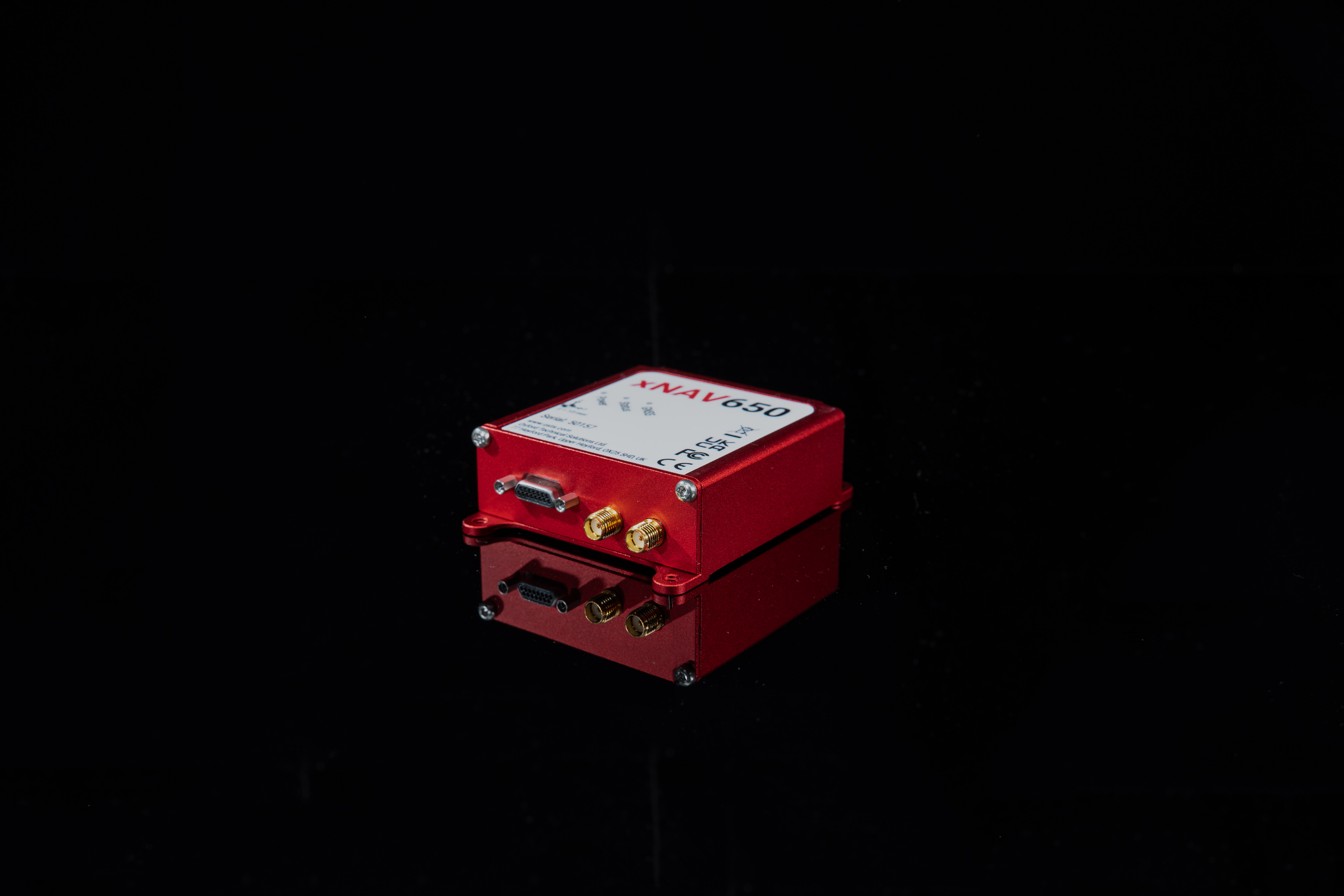
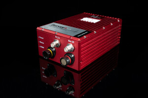
Our products provide position, roll, pitch, heading and other measurements of vehicles on land, sea and in the air. Our highly accurate Survey+ v3 Inertial Navigation System (INS) is used in multiple mobile land and manned aircraft mapping applications and our smaller, lighter xNAV650 INS is used widely in drone and UAV based survey applications.
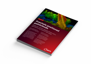
OxTS Georeferencer is our LiDAR georeferencing software that enables users to combine our highly accurate inertial measurements (position, heading, pitch, roll and time) with LiDAR data to output accurate georeferenced pointclouds.
Featured products

Recent articles


Main office
-
Park Farm Business Centre, Middleton Stoney
Bicester
OX25 4AL
United Kingdom -
+44 1869 238015
- https://www.oxts.com/