![Navigate Anywhere - What is PNT2.png](https://cdn.geo-matching.com/qoDdjjjo.png?w=480&s=e411aa598c56e46eec7182826c36262e)
![OXTS Final-45.jpg](https://cdn.geo-matching.com/wRWmWLNp.jpg)
Showing 1-9 of 31 results
![Navigate Anywhere - What is PNT2.png](https://cdn.geo-matching.com/qoDdjjjo.png?w=480&s=e411aa598c56e46eec7182826c36262e)
![Navigate Anywhere - ADAS for Trucks 6.png](https://cdn.geo-matching.com/6oJ61bjo.png?w=480&s=e9101bc01b5e17e63a0a7f9d87206192)
Three challenges to overcome in ADAS testing for trucks
![Land-based LiDAR Surveying - Cover Image.png](https://cdn.geo-matching.com/qoDdX8ko.png?w=480&s=65794fdc9a88495fd12d7cc6de4902ec)
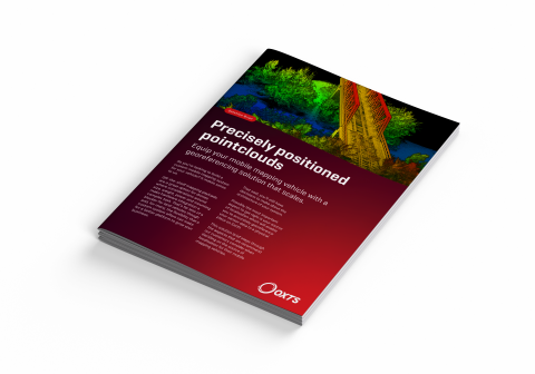
Precisely Positioned Pointclouds
![OXTS Final-39.jpg](https://cdn.geo-matching.com/Vo1z3kQR.jpg?w=480&s=b82948af1c0c88aa4d00cd0368ed0b92)
OxTS release their latest GNSS/INS - the RT3000 v4!
![Highway QT.PNG](https://cdn.geo-matching.com/wpX1Ovwo.png?w=480&s=8d2aca577bdea88facd85070cbbe0fdc)
Riegl and Z+F sensors now available in OxTS Georeferencer 2.7
![what-positioning-technology-is-right-for-your-uav-header.png](https://cdn.geo-matching.com/9pNOg7oZ.png?w=480&s=8b33d3dadf9e526d0a2e1e7df3e382cc)
What Positioning Technology Is Right for Your Uav – GCPS, GPS, GNSS, PPK or RTK?
![klau-geomatics-utilise-oxts-georeferencer-to-boresight-and-georeference-lidar-data2.png](https://cdn.geo-matching.com/6oJbyOov.png?w=480&s=5b1cbc18c0c30ed7218e758fb642ce39)
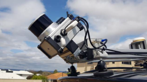
Klau Geomatics Utilise OxTS Georeferencer to Boresight and Georeference LiDAR Data
![oxts-win-pitch-the-press-award-at-geo-week-for-oxts-georeferencer-header.jpg](https://cdn.geo-matching.com/Poxk84pD.jpg?w=480&s=fc2e5f3bf44f594fe4679292c6043c91)
OxTS Win ‘pitch the press’ Award at Geo Week for OxTS Georeferencer
![how-to-select-an-inertial-navigation-system-for-mobile-mapping-header.png](https://cdn.geo-matching.com/PR0l3xRX.png?w=480&s=e29abcbf69af9564bf8a493c87319d4d)