![suveying-the-challenging-coast-of-sylt-using-a-high-density-airborne-lidar-sensor-airborne-bathymetric-results.png](https://cdn.geo-matching.com/6pykgQRj.png?w=480&s=785504e39e36625827a2345e4e4e519e)
![leica-geosystems-1110x315.jpg](https://cdn.geo-matching.com/1pPlVzpm.jpg)
Showing 1-9 of 11 results
![suveying-the-challenging-coast-of-sylt-using-a-high-density-airborne-lidar-sensor-airborne-bathymetric-results.png](https://cdn.geo-matching.com/6pykgQRj.png?w=480&s=785504e39e36625827a2345e4e4e519e)
![header-image-blog-post.jpg](https://cdn.geo-matching.com/3n8w0rR5.jpg?w=480&s=d8b0a18d34c4b1e1cc4e2b638ff6e3ac)
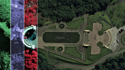
What is the Reason That Led ESTEIO To Own Leica ADS100 Airborne Digital Sensor
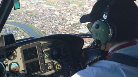
![spl100-case-study-geomatching-800x800.jpg](https://cdn.geo-matching.com/LnL8Q6nj.jpg?w=480&s=c4db2feef669bae0ffd83b87a6724308)
Aloha Airborne
![case-study-lss-800x800.jpg](https://cdn.geo-matching.com/0nvvWbn2.jpg?w=480&s=c814b4eec7e32804bcdc5d771eda02ee)
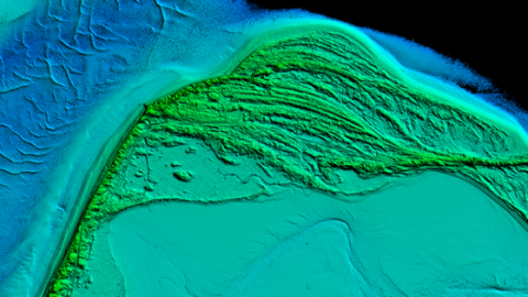
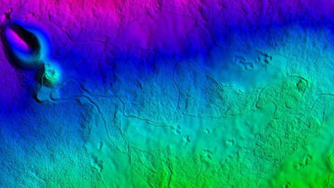
Mapping Finland’s ocean floor
![case-study-image.jpg](https://cdn.geo-matching.com/voePO6pB.jpg?w=480&s=a813a59b90da57ee1d537340b09be9ae)
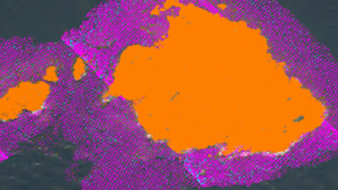
The Advantages of Using Bathymetric Lidar in Securing People And Property
![shom-800x800.jpg](https://cdn.geo-matching.com/6oJ847nv.jpg?w=480&s=ee0822d723d30bea905b6dd7edb1cfe2)
From Concept to Feasibility in Aerial Mapping
![product-imagery-geomatching-800x800.jpg](https://cdn.geo-matching.com/kpbd4DR3.jpg?w=480&s=f196078547fa5f89ac1101641614557b)
Water, Water, Everywhere: A Bathymetric Lidar Update
![case-study-solspec-800x800.jpg](https://cdn.geo-matching.com/1pP84mpm.jpg?w=480&s=832967133756397caa013fa0511018b8)
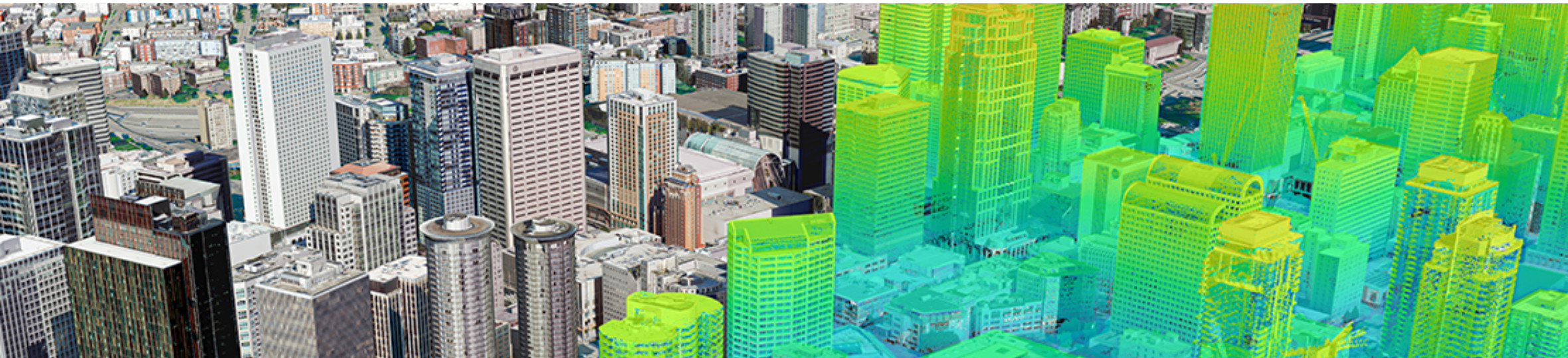
Processing Lidar at the Speed of Light
![case-study-woolpert-image-800x8000.jpg](https://cdn.geo-matching.com/7o2jLeo5.jpg?w=480&s=65fb770154b213564963ddf59e4c6099)