![how-lidar-helps-assessing-the-interferences-in-the-track-for-oversize-loads-transportation-header.png](https://cdn.geo-matching.com/DR3Ny6oK.png?w=480&s=eb7aad395dbf65078f76c256c9428f58)
![Banner linkedin SF-v3 & Copertina profili lin-5.png](https://cdn.geo-matching.com/kR9vEJNn.png)
Showing 1-7 of 7 results
![how-lidar-helps-assessing-the-interferences-in-the-track-for-oversize-loads-transportation-header.png](https://cdn.geo-matching.com/DR3Ny6oK.png?w=480&s=eb7aad395dbf65078f76c256c9428f58)
![orienteering01.png](https://cdn.geo-matching.com/xRK88an2.png?w=480&s=4e77ab87d34e30e47bd3409f71384360)
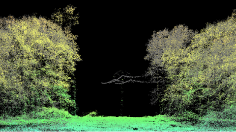
An unusual application for UAS LiDAR payloads: the creation of orienteering maps
![ortofoto-cropped.png](https://cdn.geo-matching.com/xRK8yan2.png?w=480&s=0a30c4d172d877c0a06715ace04fd9a1)
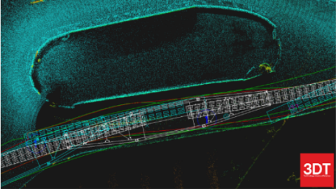
Generating an accurate DTM for the preliminary design of infrastructures with UAS Lidar payloads
![medium-voltage.png](https://cdn.geo-matching.com/3n8w6mR5.png?w=480&s=0a0da6d807049bc22604f0f7baf62bab)
Using Lidar in Power Line Corridor Inspection Surveys
![cattura.png](https://cdn.geo-matching.com/ZpzjaapK.png?w=480&s=ff8b6039456270704a72cb23153643cb)
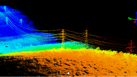
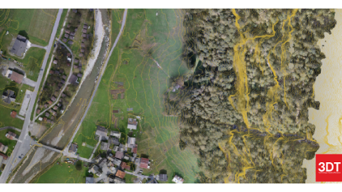
UAV Lidar System Helps Monitor Interferences of Vegetation with Powerlines
![domiziano1.png](https://cdn.geo-matching.com/En5Z2Ep5.png?w=480&s=04c56a883df8b41ef1e919705d53bb17)
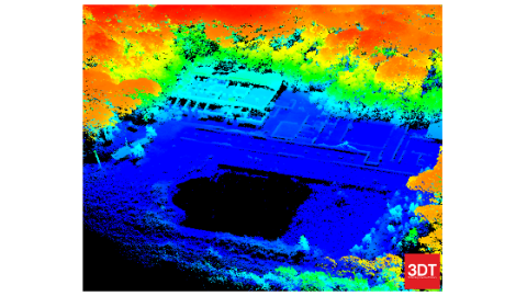
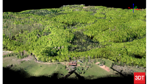
Identifying Archaeological Structures Using UAS Lidar Systems
![rockfall-barriers-2.jpg](https://cdn.geo-matching.com/0nvvPmn2.jpg?w=480&s=94731f7b1072b688d8e5d1acc3f0a137)