Precision Agriculture
Precision Agriculture is an approach to farming where processes are automated and data is collected to ensure that crops and soil are in optimum health for delivering a high crop yield. Field preparation can be semi-automated by using [Steering systems] in combination with [RTK Base Stations] for high accuracy. While a [UAS for Mapping and 3D Modelling] in combination with [UAS Cameras] or a [UAS Lidar Systems] can be used for crop inspection.
Product themes
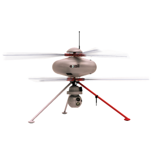
Recently added products


![YRBKMWXn[1].png](https://cdn.geo-matching.com/En53gY1o.png?w=300&h=300&crop=1&s=024b01a5456af84a24979824702460d7)
Featured manufacturers


Latest from Insights


Browse by category
Aerial and Satellite Imagery
GNSS and Mobile GIS Systems
Machine guidance and steering
Positioning and Navigation
- AHRS - Attitude Heading and Reference Systems
- Accelerometers
- Altimeters
- DVLs - Doppler Velocity Logs
- GNSS Antennas
- GNSS Receivers
- GNSS Repeaters
- GPS and Heading
- Gyroscopes
- IMUs - Inertial Measurement Units
- INS - Inertial Navigation Systems
- MRUs - Motion Reference Units
- Marine Navigation Systems
- Portable Marine Survey Systems
- Radios and Modems
- Subsea Cables
- Subsea Connectors
- Transponders (Acoustic Release and Positioning)
- USBLs and SSBLs
- Underwater Acoustic Modems
Software and Data Management
- Automatic Blurring Software
- BIM Software
- Big Data Management Systems
- CAD Software
- Flight Planning and Management Software for Manned Aviation
- GIS Software
- GNSS Processing Software and Correction Services
- Ground Station Software
- Hydrographic Acquisition Software
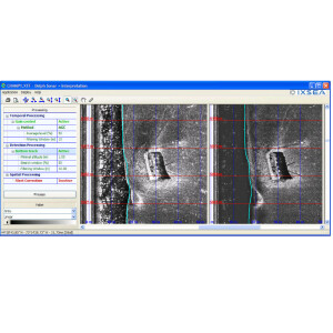
- Hydrographic Processing Software
- Photogrammetric Imagery Processing Software
- Point Cloud Processing Software
- Remote Sensing Image Processing Software
- Sediment Classification Software
- Survey Software
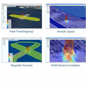
- UXO Detection and Analysis Software
- Verification and Validation


