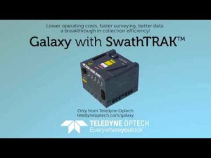
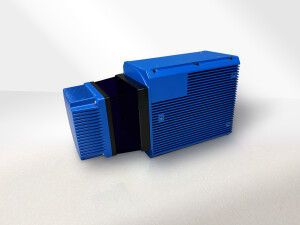
ALTM Galaxy T1000
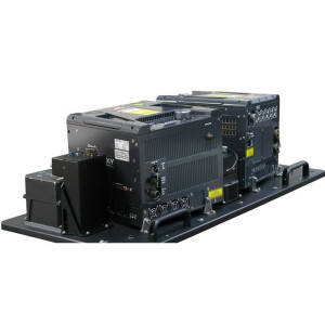
Teledyne Optech´s Galaxy T1000 is a next-generation airborne lidar sensor, packing more power and performance into a tiny footprint than any other sensor. Designed for everything from wide-area mapping to corridor surveys, Galaxy is truly a universal sensor, providing ultra-dense data, accuracy and measurement precision.
Teledyne Geospatial
Vaughan, CA
Description
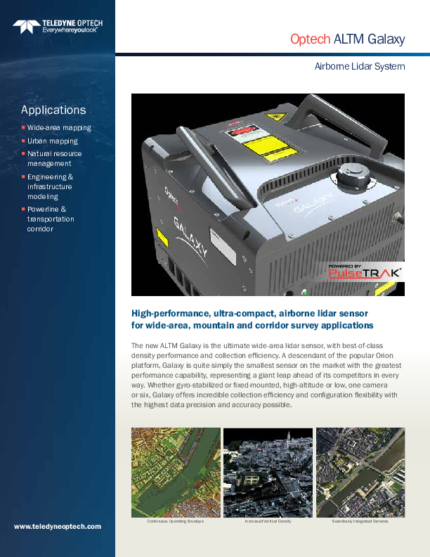
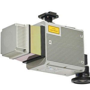
The Galaxy T1000 is the next generation of airborne lidar sensor, packing more power and performance into a tiny footprint than any other sensor. Designed for everything from wide-area mapping to corridor surveys, Galaxy is truly a universal sensor that rivals larger systems with its ultra-dense data and industry-leading measurement precision and accuracy. Explore the tremendous cost savings that only Galaxy with SwathTRAK and PulseTRAK technology can provide!
Do you have questions about this product?
- Questions about price, availability, and/or retailers
- Questions about technical specifications and usage
- Questions about suitability for your project or application
Specifications
-
General
-
Year of introduction
2014
Year of last update
2017
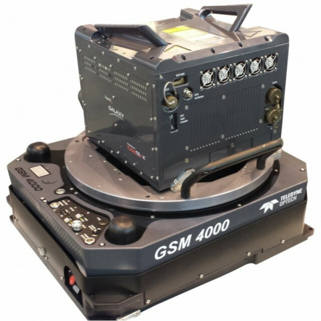
Total Weight [kg]
27
Power requirements
300 W
Type of GNSS/INS positioning system
POSAV AP60
Camera
Can support up to 6 cameras simultaneously
Data storage facilities
Internal SSD + External, removable, ruggedized SSD
Mission planning software
FMS Mission Manager with 3D immersive planning
Postprocessing software
Optech LMS (auto lidar /camera boresight/calibrati
-
Application
-
Main applications
Wide-area mapping,urban modeling,powerline surveying,transportation corridor,Infrastructure modeling,defense and security
-
Measurement Characteristics
-
Scanning method
scanning galvo
Scan frequency [Hz]
120
Min. pulse frequency [Hz]
35000
Max. pulse frequency [Hz]
1000000
Max. field of view [deg]
60
Max. number of recorded echoes per pulse
8 x XYZI (waveform record not required)
Full-wave form digitization
Y
Pulse sampling frequency [GHz]
1
Recording of intensity of return signal [bits]
12
multiple pulses in air
Y
-
Operation Characteristics
-
Platform
Helicopter, Fixed-wing, Gyroplane
Min. flying height [m]
150
Max. flying height [m]
4700
Max. acquisition time [hr]
20
-
Laser Pulse Characteristics
-
Wavelength [nm]
1064
Standard pulse length [ns]
3
Beam divergence [mrad]
0.25
Type/class laser
IV
Eyesafe range [m]
150
Pulse length variation [ns]
0
-
More information
-
Distinguishable features
Ultra-compact, high-performance mapping sensor; PulseTRAK technology (eliminates PIA data gaps);SwathTRAK technology (fixed-width swaths in variable terrain enables significantly fewer flight lines and predictable point distribution);8-returns for improved vertical resolutionOptional full-waveform recording;Compatible with gyro-stabilized mount;Pod options;Multi-sensor mount options
-
Uncertainty and resolution
-
Pitch and roll pointing precision [deg]
0.0025
Heading pointing precision [deg]
0.005
Elevation precision at 1 km [m]
0.03
Planimetric precision at 1km [cm]
10
Across-track point spacing at 1km [m]
0.1
-
Application areas
-
Select an application area:
Documents
Brochure
migratione8z2fw.pdf
1.4 MB
Other documents
-
GALAXY with SwathTRAK™ Technology1.89 MB
Videos


