


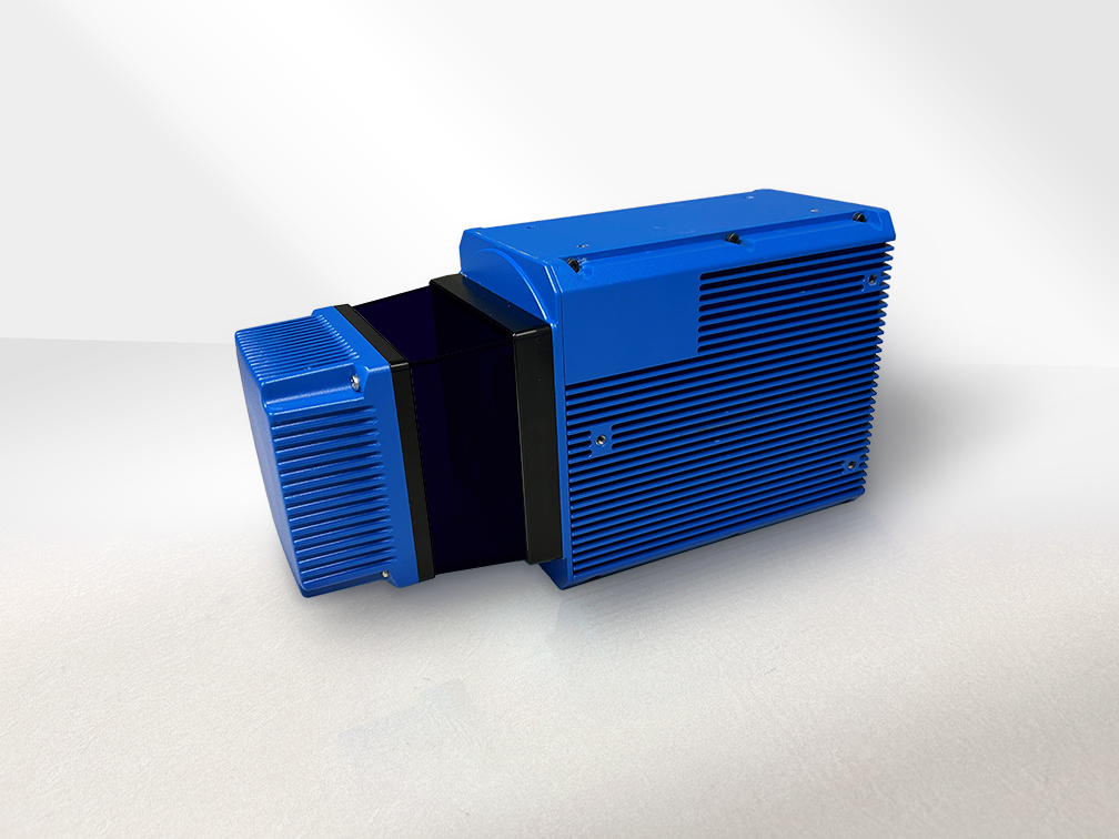
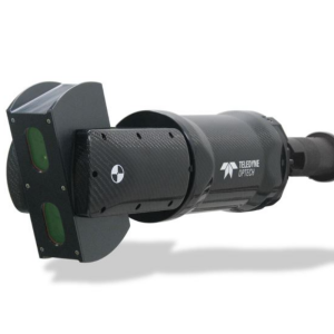
CL-360 Marine
Survey Grade Laser Scanner for Marine Applications
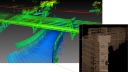
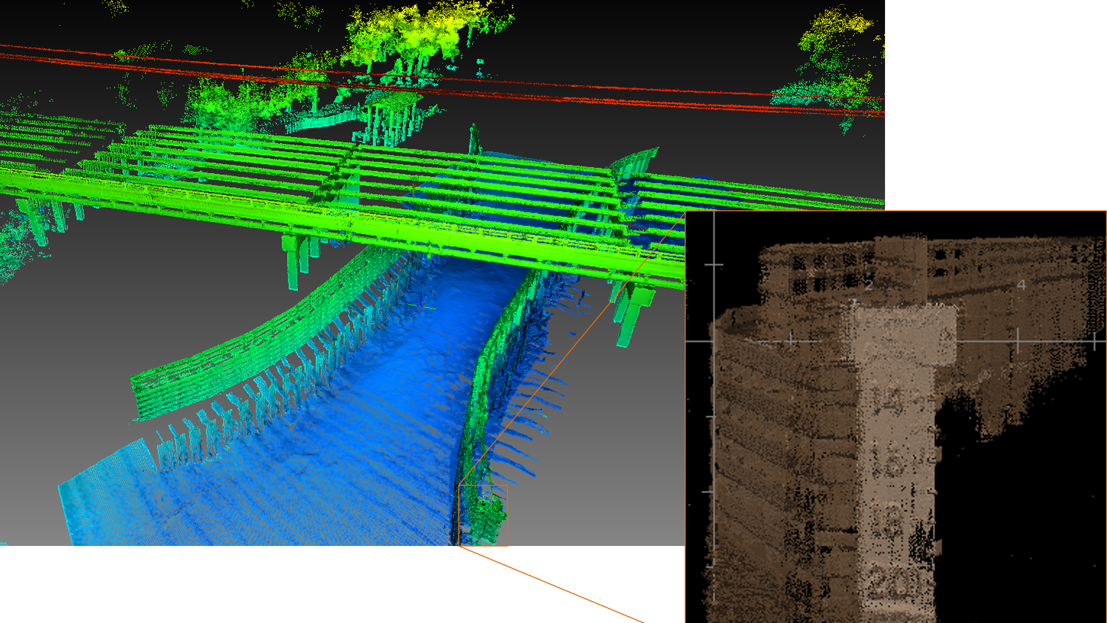
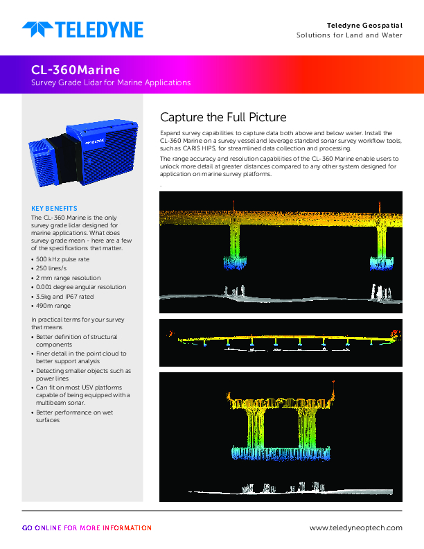
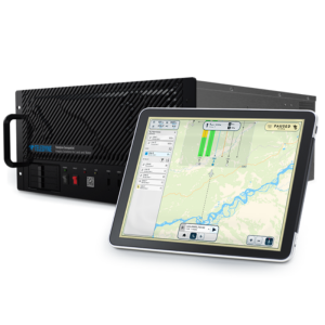
Expand survey capabilities to capture data both above and below water. Install the CL-360 Marine on a survey vessel and leverage standard sonar survey workflow tools, such as CARIS HIPS, for streamlined data collection and processing. The range accuracy and resolution capabilities of the CL-360 Marine enable users to unlock more detail at greater distances compared to any other system designed for application on marine survey platforms.
Teledyne Geospatial
Vaughan, CA
Description
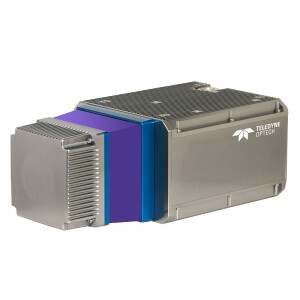
Accuracy and Resolution
The CL-360 Marine is the only survey grade lidar designed for marine applications. What does survey grade mean - here are a few of the specifications that matter.
500 kHz pulse rate
250 lines/s
2mm range resolution
0.001 degree angular resolution
In practical terms for your survey that means
Better definition of structural components
Finer detail in the point cloud to better support analysis
Detecting smaller objects such as power lines
Designed for Marine Applications
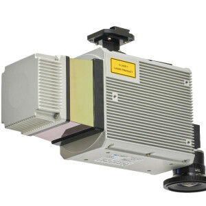
With an IP67 rating and corrosion resistant components the CL-360 Marine has been designed with the needs of marine survey platforms in mind.
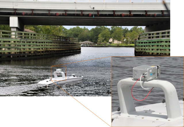
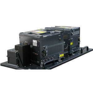
At 3.5kg, the CL-360 marine can be integrated onto most Uncrewed Surface Vessels (USV) which are capable of being equipped with multibeam sonar. A 10m cable kit also allows the system to be easily mounted on crewed vessels.
Long Range
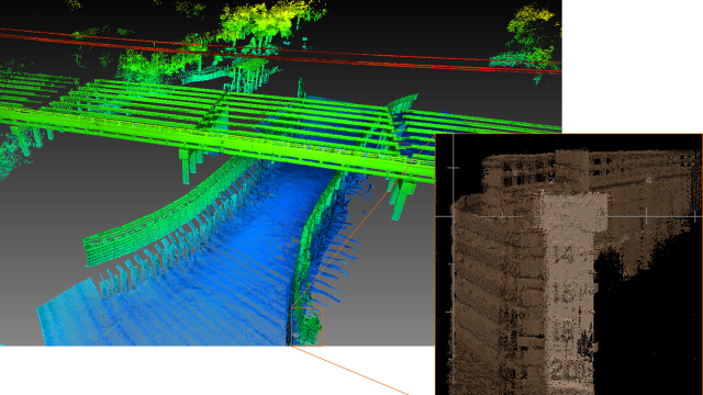
The 490m range capability of the CL-360 Marine allows coastal mapping and shoreline verification data to be collected at further distances, staying out in safer and deeper water. While collecting channel data there is potential to capture both sides of channels of nearly 1km width in a single pass.
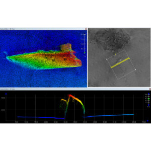
Range also becomes crucial when mapping wet surfaces while inspecting infrastructure. A wet surface can absorb up to 90% of the laser pulse energy, significantly reducing the range at which you can map a wet surface.
Do you have questions about this product?
- Questions about price, availability, and/or retailers
- Questions about technical specifications and usage
- Questions about suitability for your project or application
Specifications
-
Power
-
Power connector
Unterminated DC or 120/240V power supply
Internal power supply (battery)
N/A
Power consumption
35w-40w
-
Application
-
Main users
Port, Coastal and inland waterway surveyors
Main applications
Surveying
-
General
-
Depth [m]
0.310
Height [m]
0.116
Total Weight [kg]
3.5kg
Width [m]
0.16
Year of initial introduction
2024
-
Environment
-
Operating temperature: min. [°C]
-10
Operating temperature: max. [°C]
40
Water sand and dust proof (IP-classification)
IP67
-
Laser and operation
-
Points per second
200,00 / 500,000
Laser/light wavelength [nm]
1550
Eye-safe operation (Laser class)
Class 1 Eye Safe
Minimum detection range [m]
1.5
Maximum detection range [m]
500
Uncertainty in distance measurement
4mm
Range resolution [mm]
2
Spot size at 50 m distance (beam divergence) [mm]
17
Resolution (number of scan lines, points per line, etc.)
Up 250 lines/s
Scan patterns
360 Degree
Documents
Brochure
2024 05 10_TDY Geospatial_Optech_CL-360 Marine_Spec Sheet_HR.pdf
975.84 KB
Other documents
-
The+Future+of+Lidar-Assisted+Coastal+Survey++Inspection (1).pdf346.76 KB
-
Get+More+out+of+Hydrographic (1).pdf316.52 KB


