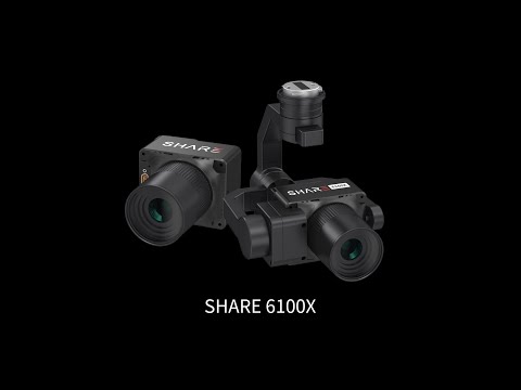

Innovating High-Altitude Mapping with SHARE 5-Lens Oblique Camera
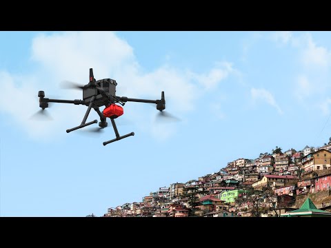
Diving into the depths of the Nujiang Lisu Autonomous Prefecture, the project team overcame the formidable challenge of mapping rugged terrains at high altitudes.
Armed with the cutting-edge PSDK 102S V3 and DJI M300 RTK drones, they navigated through variable climates and steep landscapes, achieving unprecedented data precision over a 15 square kilometer area.
🚀 Key Achievements:
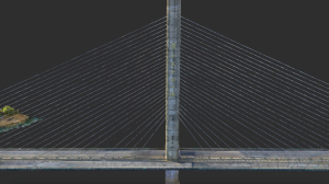
High-precision data collection with an average resolution of 1.5 cm
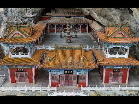
Successful 3D reconstruction of complex terrains
Innovative strategies overcoming weather and terrain challenges
Enhanced efficiency with specialized equipment and techniques
This project not only showcases our technical prowess but also sets a new benchmark for surveying efficiency and data quality in challenging environments.