
Bridging the Gap: Revolutionizing Infrastructure Health with Advanced Aerial Photogrammetry
🚁 Our Approach
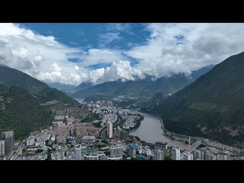
Our cutting-edge aerial photogrammetry technology enables detailed inspections of Bridge Infrastructure, identifying potential issues before they become critical.
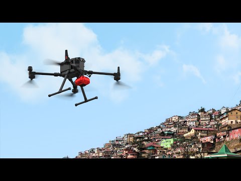
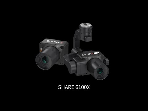
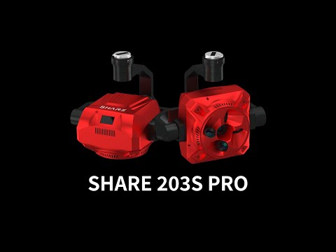
Five-Lens Simultaneous Capture: Boost your single-day operational efficiency by over 50% with our five-lens cameras, featuring one vertical and four oblique angles to capture full-coverage and hard-to-reach areas.
ThreeAxis Gimbal Stabilization: Maintain stability across pitch, roll, and yaw movements, even in challenging conditions. Enables on-the-fly angle adjustments for capturing optimal shots around complex structures.
Adaptive Shooting Parameters: Adjust camera settings in real time based on changing ambient light conditions to prevent underexposure or overexposure.
Precision Timing: Capture POS data at the center of shutter exposure, accurate to six decimal places for time synchronization without GCPs.
Integrated Data: Automatically embedding of lens distortion corrections and POS data directly into images.
🌉 See Our Technology in Action
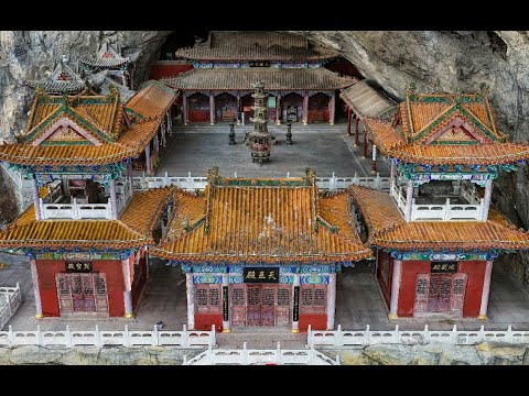
This video shows a successful project outcomes using our 5-Lens oblique aerial camera mounted on drones. Observe the intricate details both on and beneath the bridge, highlighting how our technology uncovers critical data that traditional methods might overlook.
👷♂️👷♀️ Interested in learning how our technology can help maintain your infrastructure? Contact us today