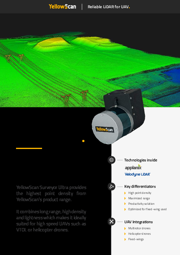
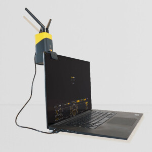
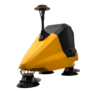
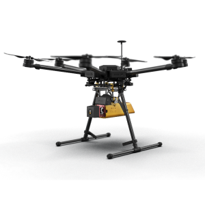
Surveyor Ultra
The high density and long range UAV LiDAR solution
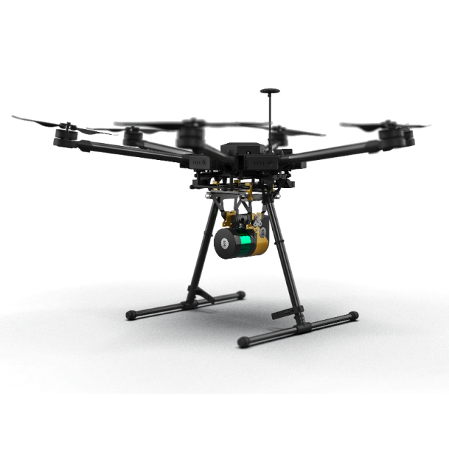
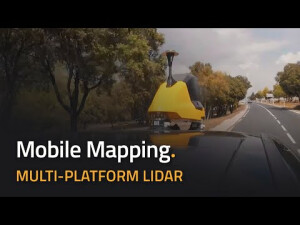
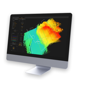
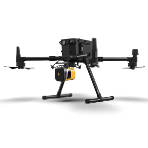
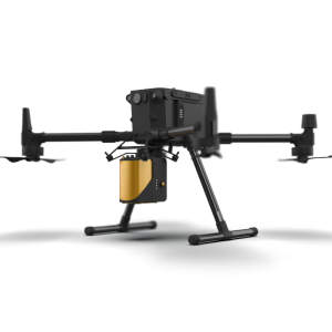
The Surveyor Ultra is suited for high-speed UAVs & long-range needs with its high-density specs. Its lightweight makes it also easy to mount on any drone, including VTOLs. As all YellowScan Lidar Systems, the Surveyor Ultra is fitted for under vegetation 3D modelling and fast data processing.

YellowScan
Saint-Clément-de-Rivière, FR
Description
Key benefits - YellowScan Surveyor Ultra
- Robust and reliable
- Turn-key and simple to operate
- Fully autonomous, can be mounted quickly on any drone
- Sub-decimetric accuracy for highest density level data in demanding survey applications
Do you have questions about this product?
- Questions about price, availability, and/or retailers
- Questions about technical specifications and usage
- Questions about suitability for your project or application
Specifications
-
Measurement Characteristics
-
Range accuracy [mm]
50
Max. field of view [degrees]
360
Max. number of recorded echoes per pulse
3
-
Physical Properties
-
Weight [kg]
1.32
Height [cm]
13.8
Length [cm]
16
Width [cm]
10.3
-
Laser Pulse Characteristics
-
Laser Class
1
Wavelength [nm]
903
-
Power Supply
-
Power consumption
22
Type of battery
Lithium-ion
Operation time on single battery [minutes]
95
-
Positioning System
-
Type of GNSS positioning sensors
GPS, GLONASS, BeiDou, RTK and PPK
Type of INS or IMU
Applanix APX-15
-
Operation Characteristics
-
Camera included
Optional
-
Data and Software
-
Included software
YellowScan CloudStation and POSPac
-
General
-
Year of last update
2022
Year of introduction
2022
Documents
Brochure
yellowscan-surveyor-ultra-datasheet.pdf
454.2 KB
Videos


