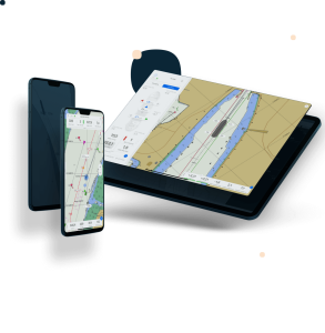
Viking
Viking is a powerful software package fully aimed at ease of use and with user friendliness in mind. It features a clean and simple user interface, yet it has all required interfacing and calculations under the hood.
CT Systems
Hippolytushoef, NL
Description
Features:
Easy to use
Modular License
Customisable
Single platform for all operations
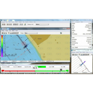
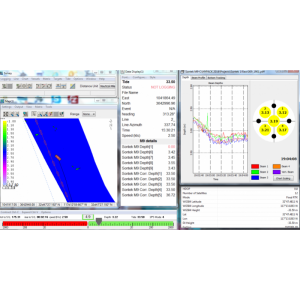
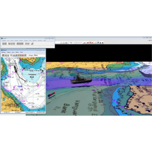
Positioning, dredging & survey
Ease of use
The core focus and philosophy of the Viking Software is offering a clean and easy to use interface. Thanks to the modular license and the fully customisable user interface it complies to these requirements and gives a practical work overview.
Specifications
-
General
-
Current version number
2.1.16
Year of current version
2024
-
More information
-
Distinguishable features
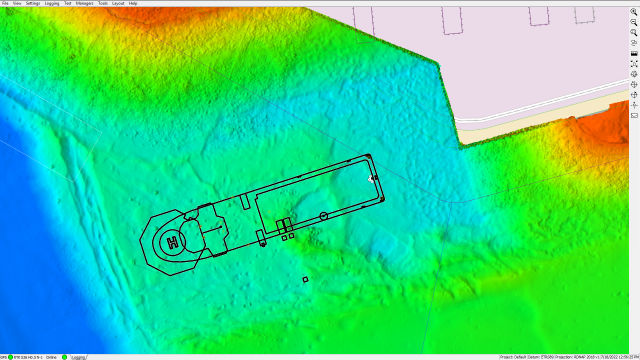
For professional nautical industries, which include offshore, dredging, hydrographic survey, commercial fishing and marine construction.
-
Basics
-
Software solution
Y
Combined software/hardware solution
Y
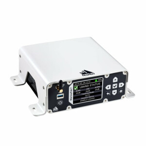
Hardware requirements
Pentium 4, 1 GB, 1076 X 768
-
Features
-
Functions for on board use of SOLAS vessels
N
Functions for leisure market
N
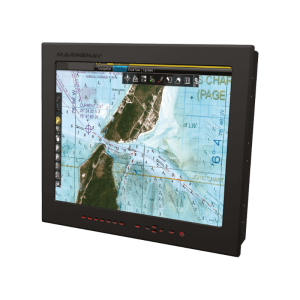
Derivatives available for shore based use
Y
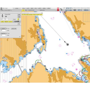
All official data formats accepted
Y
Compliance and approvals
IHO Standard S-57 Ed. 3.1.1: ENC data format, IHO Standard S-52 Ed. 6.0: Colours & Symbols, IHO Standard S52 Annex A: presentation Library
Integration
ARPA targets, AIS targets
-
Interfacing
-
Max. number of NMEA0183 serial interfaces
10
Max. number of NMEA 2000 CAN Bus serial interfaces
2
Max. number of analogue interfaces
16
Special interface for gyro compasses
Y
Possibility of secondary displays
Y
-
Additional functions
-
Map projection adjustable
Y
Head up display
Y
Relative motion display of AIS and radar targets
Y
Integrated sailing directions database
N
Trial manoeuvre mode
N
Tidal calculations overlay
N
Weather overlay
N
Conning display
Y
Online help functions
N
User interface in multiple languages
Y
General print functions
Y
Print functions of ISM-required route planning documents
N
-
Support
-
Documentation in multiple languages
Y
24/7 Provision of chart data service
N
Remote wireless maintenance
Y


