


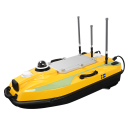
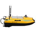
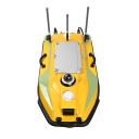
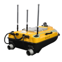


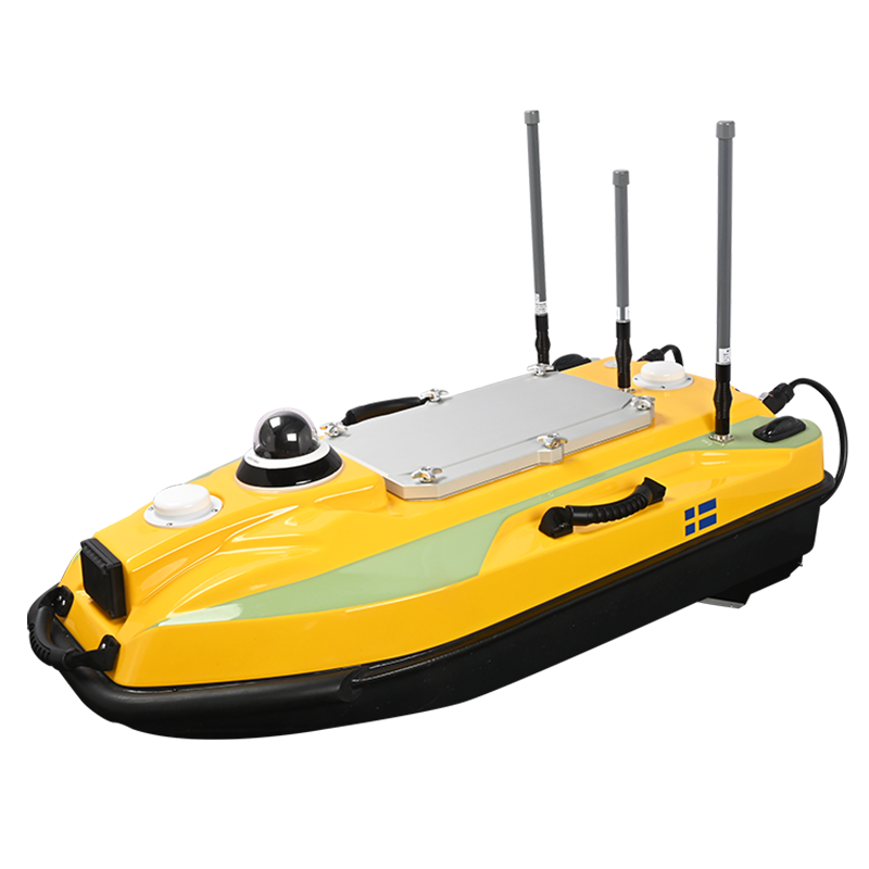
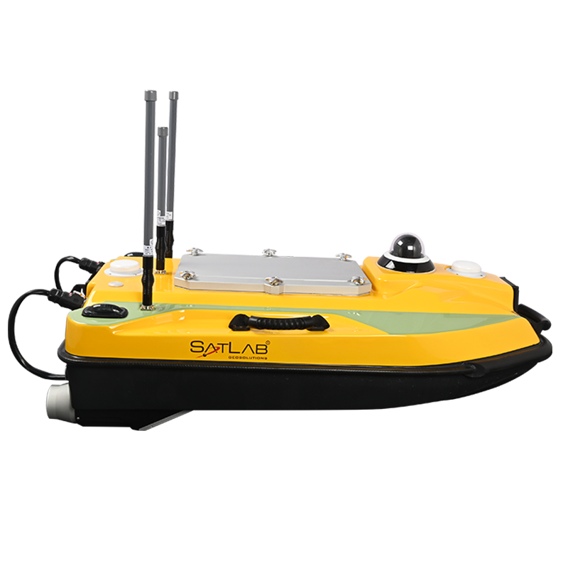
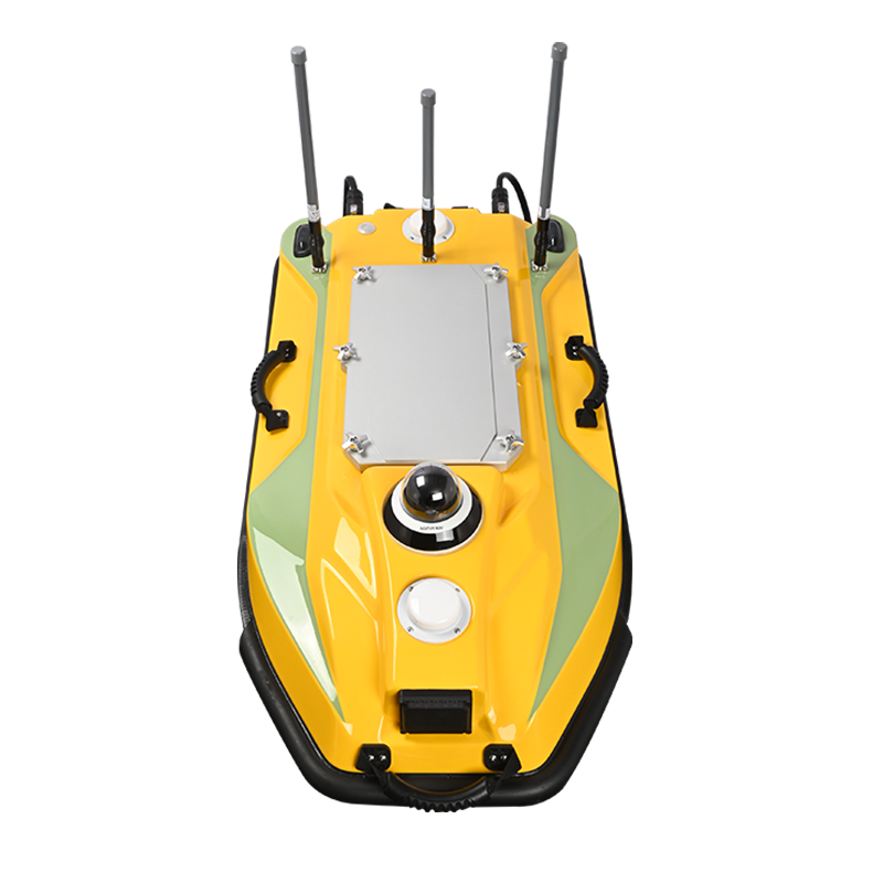
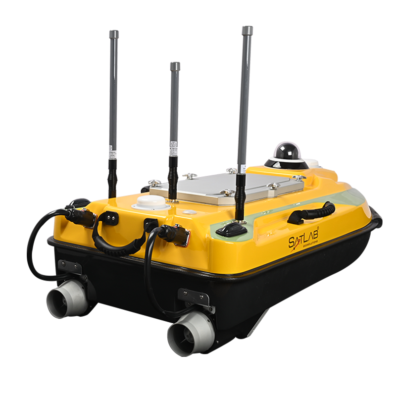
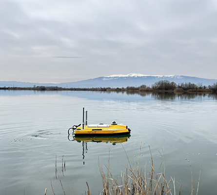
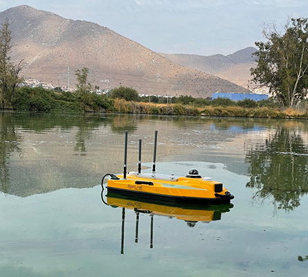
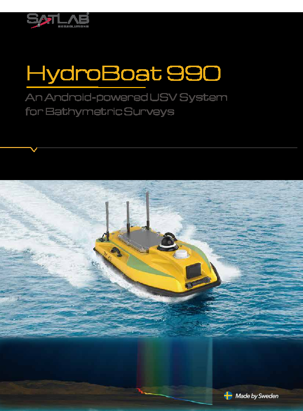
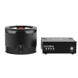
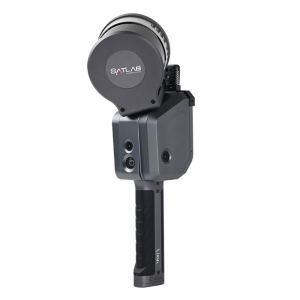
HydroBoat 990 USV
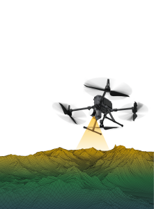
An Android-powered USV System for Bathymetry Solutions
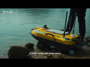
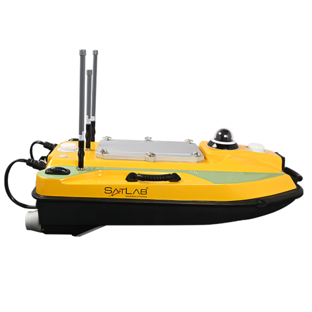
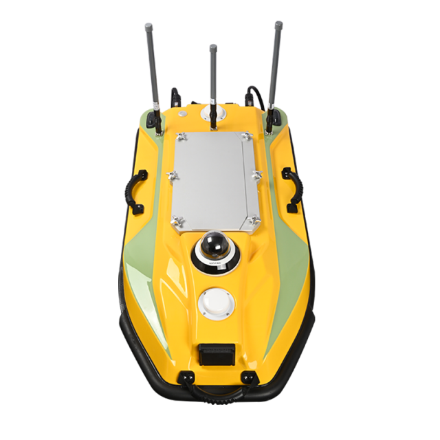
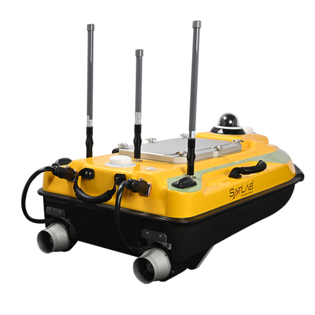
HydroBoat 990 is a powerful, reliable, and convenient Android-powered USV system for bathymetric surveys. It can be operated by a single person with just one boat and one controller. The HydroBoat 990 has easy-to-use Android software and an integrated and practical boat structure. It sails fast and measures accurately with excellent technical performance.

SatLab
Vastra Frolunda, SE
Description
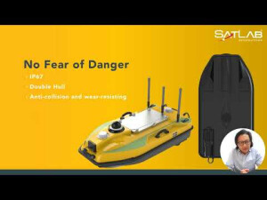
Powerful and Reliable
HydroBoat 990 is powered by an Android operating system and a high-performance processor. This makes it a powerful and versatile tool for bathymetric surveys. HydroBoat 990 is built to withstand the harsh conditions of the marine environment. It is also equipped with a variety of safety features, making it a reliable tool for bathymetric surveys.
Convenient
HydroBoat 990 can be operated by a single person with just one boat and one controller. This makes it a convenient tool for bathymetric surveys, especially in remote areas.
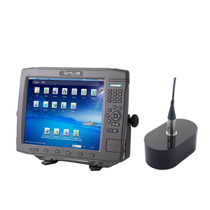
Easy-to-use software
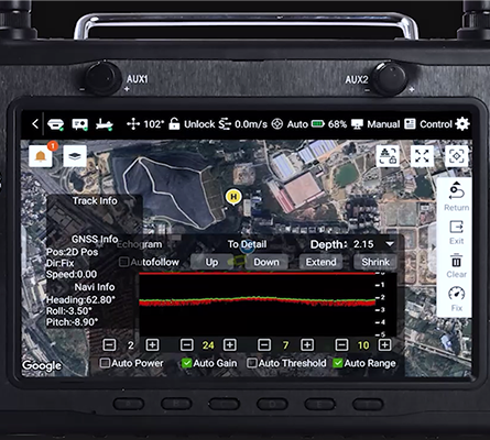
HydroBoat 990 has easy-to-use Android software. This makes it a user-friendly tool for bathymetric surveys, even for users with limited experience.
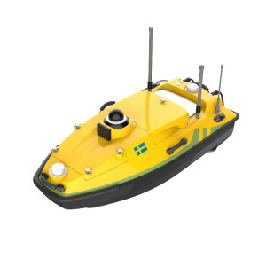
Integrated and practical boat structure
HydroBoat 990 has an integrated and practical boat structure. This makes it a stable and easy-to-operate tool for bathymetric surveys.
Accurate measurements
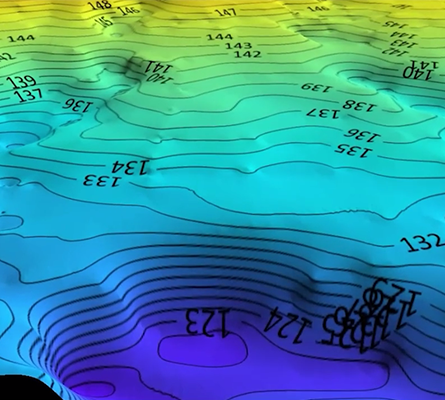
HydroBoat 990 measures accurately, ensuring that bathymetric surveys are completed to the highest standards.
Excellent technical performance
HydroBoat 990 has excellent technical performance, making it a reliable and versatile tool for bathymetric surveys.
Do you have questions about this product?
- Questions about price, availability, and/or retailers
- Questions about technical specifications and usage
- Questions about suitability for your project or application
Specifications
-
More information
-
Applications
Underwater topographic survey, Hydrographic survey
-
General
-
Length [m]
1.035
Width [m]
0.56
Height [m]
0.345
Min. weight of USV in air [kg]
6
Max. Weight of USV in air [kg]
25
Portable
Y
Number of thrusters
2
Thruster specifications
Brushless DC
-
Communication and Control
-
Type of Communication
RF point-to-point in real-time
Auto- control
Yes
-
Navigation and Payload
-
Navigation sensors - standard
heading GNSS receiver
Payload sensors - standard
Echo Sounder
-
Operations
-
Operational Area
2 km, RF point to point in real-time
Launch and Recovery System
Single Beam Echo Sounder, GNSS
Max. speed [kn]
6
Max. Remote Operating Range {m}
2000
Available size of storage room
5GB, SD Card supported
-
Energy and Propulsion
-
Propulsion
Detachable, No fear of water plants
Energy Source
Battery
Documents
Brochure
HydroBoat 990-Brochure-EN-20240523(s).pdf
436.08 KB


