PIX4Dmatic
Large scale and corridor mapping
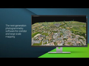
PIX4Dmatic is the next-generation photogrammetry solution, ready to handle datasets of over 10,000 images. Ready for the future of surveying with the capability of BVLOS flights as well as specializations for the corridor and large scale mapping. Unleash the potential for surveying with drones like never before.
PIX4D
Prilly, CH
Description
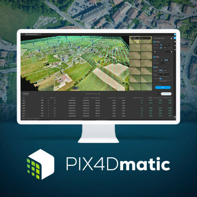
PIX4Dmatic is the next-generation photogrammetry software for large scale and corridor mapping. It is designed to work with the latest drones and tackle bigger projects faster than ever before, crunching over 10,000 images with ease and no need to break them into separate projects.
Specifications
-
Required Computer System
-
Operating system(s)
Windows 10, 64 bit or macOS Catalina.
CPU (min.)
Quad-core or hexa-core Intel i5
CPU (preferred)
Intel i7/ i9/ Xeon, AMD Threadripper
Min. RAM memory [Mb]
32
Preferred RAM memory [Mb]
64
64-bit version of software available
Y
GPU based calculations
Y
Min. data storage capacity [Gb]
100
Preferred data storage capacity [Gb]
150
Min. graphic card
NVIDIA GPU that supports OpenGL 4.1
Hardware handling of big data sets
GeForce GTX series , RTX series
-
Images and data
-
Input image formats
jpeg
Export data formats
.tiff, (GeoTIFF), .las, .txt, .bpc
Digital Aerial Nadir Frames
Y
Oblique Images
Y
Optical Satellite Images
Y
UAS Images
Y
-
DEMs & Orthoimages
-
Automatic matching
Pointcloud based. Colour balanced.
Mosaicing of orthoimages
Y
True orthoimage generation
Y
Dense DSM creating capability
Y
Dense Image Matching
Y
-
General
-
Year of introduction
2020
Year of last update
2021
Regional settings available
EN
License configuration
Monthly or Yearly Subscription
-
Orientation and triangulation
-
Automatic interior
Y
Relative
Y
Automatic aerotriangulation
Y
Automated blunder detection
Y
Self calibration
Y
images simultaneously processed
Y
-
More information
-
Distinguishable features
Fast processing, Accuracy Control, Large Datasets
Documents
Brochure
feal-pix4dmatic-eng-v1-2.pdf
324.32 KB

Videos
![Correlator3D_Photogrammetry_Software[1].png](https://cdn.geo-matching.com/voawvkmn.png?w=300&h=300&crop=1&s=5be635bfd45955e69d36230f0f05598f)


![ELCOVISION-10[1].jpg](https://cdn.geo-matching.com/wRWm7Gyp.jpg?w=300&h=300&crop=1&s=d9595e4eab382ce38f888d623cb550d7)


