PDS Hydrography
Teledyne PDS – Collect, Process and Deliver
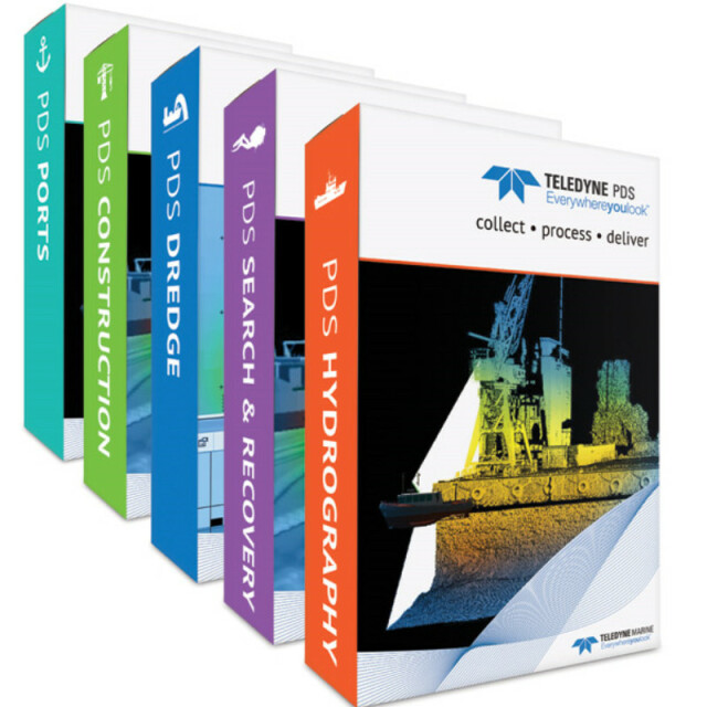
Teledyne PDS is a multipurpose software platform and supports a wide range of tasks within Hydrography, Dredge Guidance, Construction Support, Search & Recovery Operations and Port Entrance Monitoring.

Teledyne Marine
Daytona Beach, US
Description
Teledyne PDS is a multipurpose software platform and supports a wide range of tasks within Hydrography, Dredge Guidance, Construction Support, Search & Recovery Operations and Port Entrance Monitoring.
Teledyne PDS is of-the-shelf software and developed to solve the variety of challenges that arise from each specific task in the main business segments served by Teledyne Marine. It interfaces with a wide range of survey instruments such as Lidar, Multibeam and Singlebeam Echosounders, and is an optimal tool for interfacing to a variety of periphery sensors, including dredge and construction sensors, sound velocity measurements, positioning, motion systems and most other devices that output data.
Teledyne PDS is an optimized solution for both Teledyne Marine products and almost all other available systems in the market from recognized manufacturers, and enables immediate data visualization and quality control, so you can view results as images or numerically in real time. The software is designed to be used in the maritime world with an intuitive user interface that is easy to learn. Support is provided worldwide by Teledyne Marine expert surveyors including survey assistance and training of operators.
With Teledyne PDS you only need one software suite to collect, process and deliver data with in the same workflow.
*Teledyne PDS is a Teledyne RESON product line
Learn more about Teledyne PDS at: https://www.teledyne-pds.com
Do you have questions about this product?
- Questions about price, availability, and/or retailers
- Questions about technical specifications and usage
- Questions about suitability for your project or application
Specifications
-
General
-
Year of initial development
2008
Year of latest version
2019
Operating System
Windows Vista and newer
Area of Application
Acquisition module is available in: Multibeam Survey; Singlebeam Survey; Magnetometer Survey; Bar Sweep Survey; MotionScan;
-
Geodetic Functionality
-
Supported coordinate systems
Predefined world area based, User defined, World W
Supported datum transformations
Any
Geographical coordinates (Lat, Long)
Y
Ground coordinates (E,N)
Y
Seven Parameter shift supported
Y
Time-dependent Transformation Parameters (14param)
N
Supported vertical reference frames
Y
Ellipsoidal reference support (GRS80)
Y
Separation model for vertical datum shift support
Y
Local datum support
Y
Supported map projections
Y
-
Data / System Support
-
Recorded data storage formats
PDS,WinFrog, XYZ, XTF, S7k, FAU, GSF, UKOOA, ...
Supported AUVs
Implemented on request
Supported ROVs
Implemented on request
Supported ROTVs
Implemented on request
Supported underwater positioning systems
Aqua-Metre; IxSea, LinkQuest, MDL, Ore, Simrad, Sonardyne; on request we can implement each system you need
Supported multibeam systems
Teledyne BlueView, Coda, Elac, Imagenex, Kongsberg, Norbit, Teledyne Odom, Teledyne RESON, Simrad; on request we can implement each system you need
Supported surface positioning systems
Aquarius, Ashtech, Calzoni, CDL, CSI, IxSea, Javad, Leica, Novatel, Octopus, Applanix, SBG, Sercel, Sonardyne, Topcon, Tracs, Trimble, Generic, NMEA; on request we can implement each system you need
Supported singlebeam systems
CDL, Deso, Elac, ESP, Imagenex, Innerspace, MiniBath, Navisound, Odec, Odom, PDR, SeaKing, Simrad, SonarMite, Syqwest, Tracs, Tritech, TSS, Ulvertech, Valeport, Yokogawa, Generic, NMEA; on request we can implement each system you need
Supported sidescan sonar systems
Edgetech, Elac, Klein, Marine Sonic, Odom, RESON, SwathPlus; on request we can implement each system you need
Supported magnetometer systems
ECG, Elsec, Gem, Geometrix, Marine Magnetics, SeaSPY, Teratem, Tracs, Vallon Digital; on request we can implement each system you need
Supported motion sensor systems
Applied Geomechanics, Astech, Calzoni, CDL, Elac, Force, Honeywell, IxSea, Microfyn, Navigat, Novatel, Octans, Applanix, Prolec, Sagem, SBG, Seapath, Seatex, SonarDyne, SonarMite, TCM, Trimble, TrimCube, TSS, XSens, Generic, NMEA; on request we can implement each system you need
Supported imaging systems
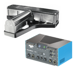
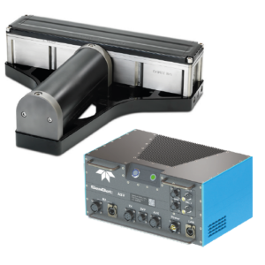
Teledyne BlueView, Teledyne Odom, Teledyne RESON; on request we can implement each system you need
Supported ADCP systems
NavQuest, RDI, ZRDoppler; on request we can implement each system you need
Time synchronization methods
Any
-
Online capabilities
-
Helmsman display
Y
Max. number cloned displays
Unlimited
Supported background formats
S-57, C-MAP, GeoTiff, PDS1000, DGN, SHP, DXF, ...
Available real-time cleaning techniques
Several multibeam / singlebeam filters
Type of navigation screens
Several planviews
Max number of online displayed ROVs
Unlimited
Max number of online displayed surface vessels
Unlimited
Computed orientation solution
Y
3D real time display
Y
Supported 3D display data
Y
Real time tidal correction methods
Several
RTK GPS height correction
Y
Real time video integration
Y
Real-time Pipe detection
Y
Real time IHO / IMCA TPU support
Y
SSS waterfall display
Y
SSS target annotations
Y
Backscatter display
Y
Online filtering options
Several multibeam / singlebeam filters
Status Views equipment
Several
Multibeam bathymetry coverage
Several
Multibeam water column display
Y
GIS integration
Esri
Remote control
Y
Real-time DTM vizualization
Y
Online eventing
Y
Real-time DTM comparison
Y
-
Hardware requirements
-
RAM
4
HD (GB)
500
Processor (CPU)
32-bit, 64-bit
Languages Supported
English, Dutch, Russian, Chinese, Espanol
Documents
Other documents
-
Product Manual (65)26.5 MB
-
High resolution structural inspection offlooded tunnel using BlueView T2250 360°Multibeam Profiling Sonar and Teledyne PDS (3)1.01 MB