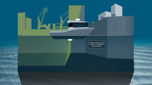
Marine Data Platform (MDP)
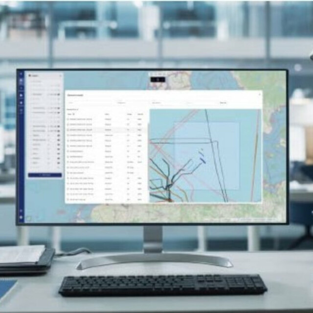
The TrueOcean Marine Data Platform (MDP), designed to search for hydrographic survey and underwater inspection data by location, has been updated. The new geospatial search function enables data on the platform to be located and accessed in seconds using a map-based interface.
TrueOcean
Kiel, DE
Description
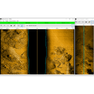
With the acquisition of data from sensors, a large number of individual files are created in diverse formats, which can quickly become difficult to manage and locate. Additionally, data volumes can be quite large, reaching several gigabytes, if not terabytes. The new function simplifies the search for all hydroacoustic and geotechnical data as the operator needs only circle the corresponding area on the digital map to see a list of the available files. The platform automatically georeferences data and extracts metadata during file upload, without any user intervention, and an intelligent search algorithm works in the background to exactly match results according to the input on the map.
The new geospatial search function increases the efficiency of data management significantly. Users can search for survey data sets in seconds, instead of having to sift through cryptic filenames in deep folder hierarchies. The platform sorts the results by sensor type, file size, and acquisition date, making it easy to quickly locate the desired data.
The geospatial search function is available as part of the TrueOcean platform.
Specifications
-
Hardware requirements
-
Processor (CPU)

