

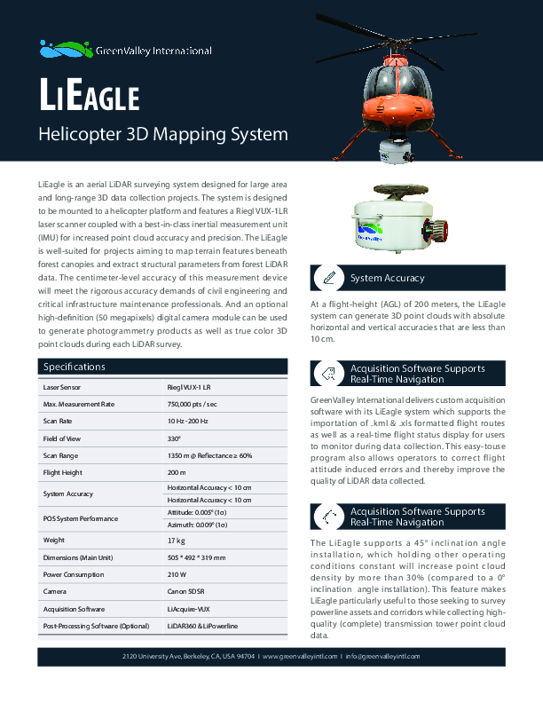
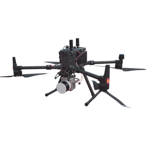
LiEagle
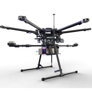
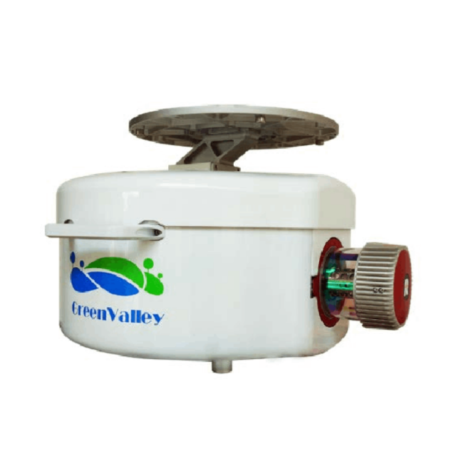
Helicopter 3D Mapping System
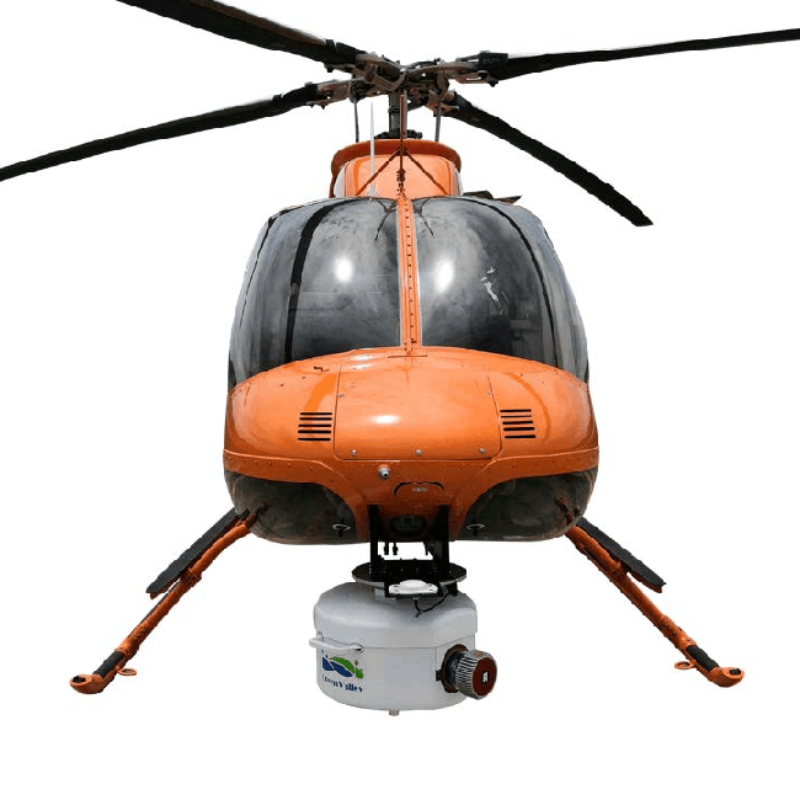
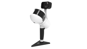
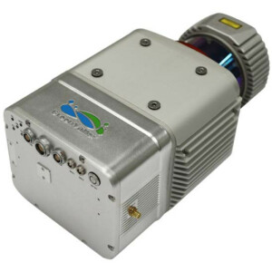
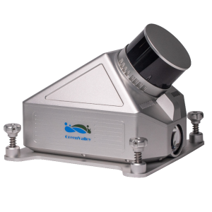
LiEagle is an aerial Lidar surveying system designed for large-area and long-range 3D data collection projects. The system is designed to be mounted to a helicopter platform. It features a Riegl VUX-1LR laser scanner coupled with a best-in-class inertial measurement unit (IMU) for increased point cloud accuracy and precision.

GreenValley International
Berkeley, US
Description
The LiEagle is well-suited for projects aiming to map terrain features beneath forest canopies and extract structural parameters from forest Lidar data. The centimetre-level accuracy of this measurement device will meet the rigorous accuracy demands of civil engineering and critical infrastructure maintenance professionals. And an optional high-definition (50 megapixels) digital camera module can be used to generate photogrammetry products and true colour 3D point clouds during each Lidar survey.
System Accuracy
At a flight-height (AGL) of 200 meters, the LiEagle system can generate 3D point clouds with absolute horizontal and vertical accuracies that are less than 10 cm.
Acquisition Software Supports Real-Time Navigation
GreenValley International delivers custom acquisition software with its LiEagle system, which supports the importation of .kml & .xls formatted flight routes and a real-time flight status display for users to monitor during data collection. This easy-touse programme also allows operators to correct flight attitude-induced errors and thereby improve the quality of Lidar data collected.
The LiEagle supports a 45° inclination angle installation, which holding other operating conditions constant, will increase point cloud density by more than 30% (compared to a 0° inclination angle installation). This feature makes LiEagle particularly useful to those seeking to survey powerline assets and corridors while collecting high quality (complete) transmission tower point cloud data.
Do you have questions about this product?
- Questions about price, availability, and/or retailers
- Questions about technical specifications and usage
- Questions about suitability for your project or application
Specifications
-
Operation Characteristics
-
Platform
-
Application areas
-
Select an application area:
Documents
Brochure
1628841933964076.pdf
254.89 KB

