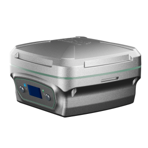
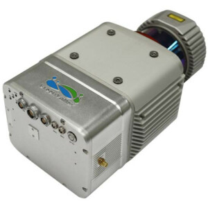
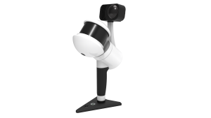
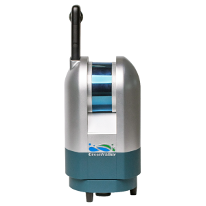
LiAir 250
Map the World in 3D
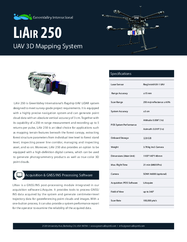
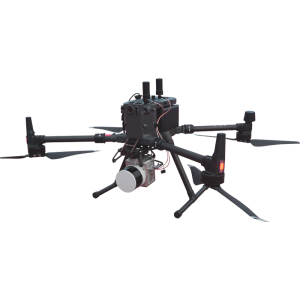
LiAir 250 can generate up to 5 data points per laser pulse from its Riegl miniVUX-1 sensor. That, plus its 250 meter range, make it a well-qualified choice for mapping the terrain beneath forest canopies.

GreenValley International
Berkeley, US
Description
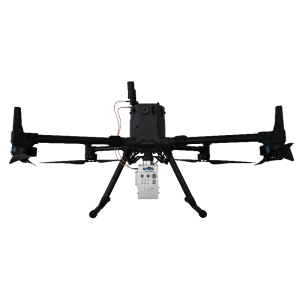
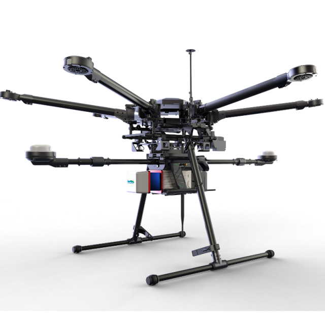
LiAir 250 is GreenValley International's flagship UAV LiDAR system designed to meet survey-grade project requirements. It is equipped with a highly precise navigation system and can generate point cloud data with an absolute vertical accuracy of 3 cm. Together with its capability of a 250 m range measurement and recording up to 5 returns per pulse, LiAir 250 is an ideal choice for applications like mapping terrain features beneath the forest canopy, extracting forest structure parameters from individual tree level to forest stand level, inspecting power line corridor, managing and inspecting assets, and so on. Moreover, LiAIr 250 also provides an option to be equipped with a high-definition digital camera, which can be used to generate photogrammetry products as well as true colour 3D point clouds.
Do you have questions about this product?
- Questions about price, availability, and/or retailers
- Questions about technical specifications and usage
- Questions about suitability for your project or application
Specifications
-
Physical Properties
-
Water and dust proof
N/A
-
Laser Pulse Characteristics
-
Laser Class
1
-
Operation Characteristics
-
Camera included
-
General
-
Year of last update
2019
Documents
Brochure
liair250-20210804-a.pdf
228.03 KB

