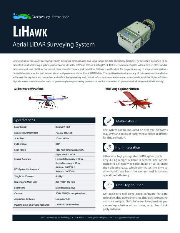
LiHawk
Aerial LiDAR Surveying System
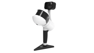
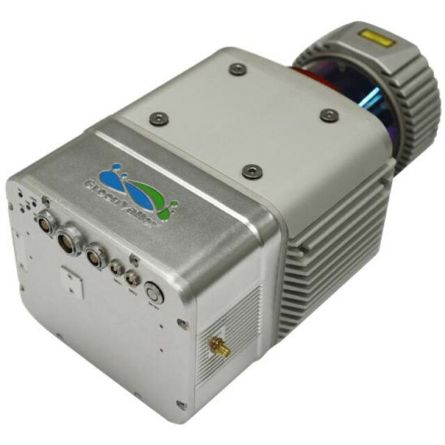
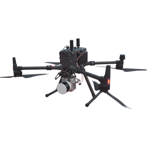
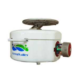
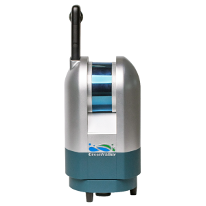
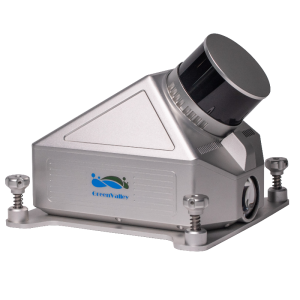
LiHawk is an aerial Lidar surveying system designed for large-area and long-range 3D data collection projects. The system is designed to be mounted to a fixed-wing airplane platform or multi-rotor UAV. It features a RIEGL VUX-1LR laser scanner coupled with a best-in-class inertial measurement unit (IMU) for increased point cloud accuracy and precision.

GreenValley International
Berkeley, US
Description
LiHawk is well-suited for projects aiming to map terrain features beneath forest canopies and extract structural parameters from forest Lidar data. The centimetre-level accuracy of this measurement device will meet the rigorous accuracy demands of civil engineering and critical infrastructure maintenance professionals. And the high-definition
the digital camera module can be used to generate photogrammetry products and true colour 3D point clouds during each Lidar survey.
Multi-Platform
The system can be mounted on different platforms (e.g. UAV LiAir series or fixed-wing airplane platform) for data collection.
High-Integration
LiHawk is a highly integrated Lidar system, with only 4.0 kg weight without a camera. The system supports an external solid-state drive to store the collected data, which eliminates the time to download data from the system and improves operational efficiency.
One-Stop Solution
GVI supports self-developed software for data collection, data georeferencing, data post-processing and data analysis. GVI’s Software Suite provides you
a one-stop solution without using any other third-party software.
Do you have questions about this product?
- Questions about price, availability, and/or retailers
- Questions about technical specifications and usage
- Questions about suitability for your project or application
Specifications
-
Operation Characteristics
-
Camera included
Documents
Brochure
1628841791657688.pdf
273.29 KB

