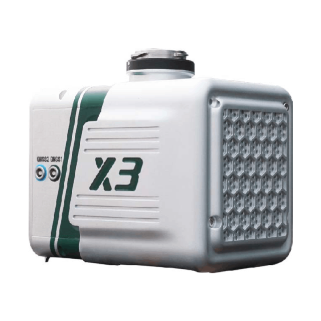
LiAir X3
Enhanced Lightweight UAV Lidar System
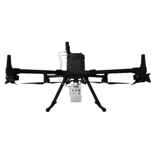
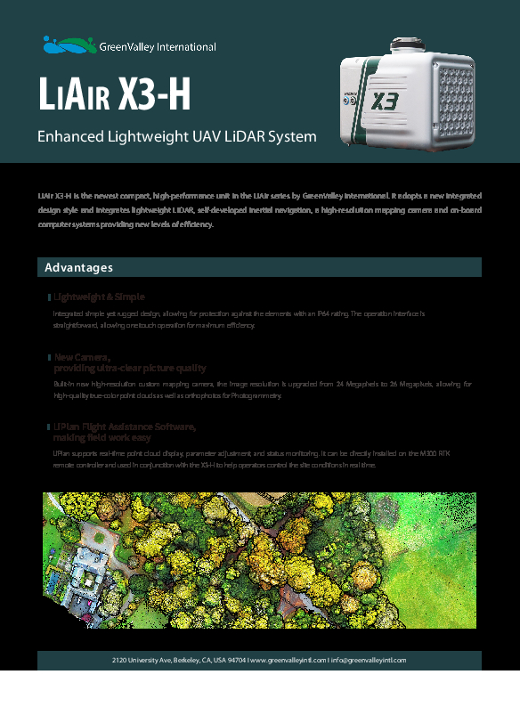
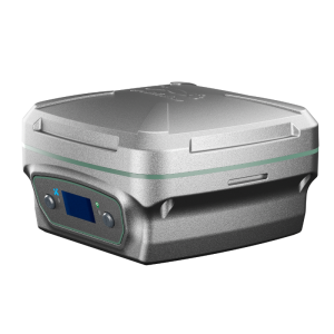
LiAir X3-H is the newest compact, high-performance unit in the LiAir series by GreenValley International. It adopts a new integrated design style and integrates lightweight LiDAR, self-developed inertial navigation, a high-resolution mapping camera and on-board computer systems to provide new levels of efficiency.

GreenValley International
Berkeley, US
Description
Lightweight and Simple
Integrated simple yet rugged design, allowing for protection against the elements with an IP64 rating. The operation interface is straightforward, enabling one-touch operation for maximum efficiency.
New Camera, providing ultra-clear picture quality
Built-in new high-resolution custom mapping camera, the image resolution is upgraded from 24 Megapixels to 26 Megapixels, allowing for high-quality true-colour point clouds and orthophotos for Photogrammetry.
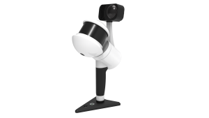
LiPlan Flight Assistance Software, making fieldwork easy
LiPlan supports real-time point cloud display, parameter adjustment, and status monitoring. It can be directly installed on the M300 RTK remote controller and used in conjunction with the X3-H to help operators remotely control the site conditions.
Do you have questions about this product?
- Questions about price, availability, and/or retailers
- Questions about technical specifications and usage
- Questions about suitability for your project or application
Specifications
-
Operation Characteristics
-
Camera included
Documents
Brochure
1663746057784649.pdf
1.98 MB

