Leica XPro - Post Processing Software
Data Processing at the speed of flight.
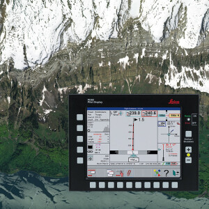
The Leica XPro line sensor workflow is straightforward to implement and easy to use for those familiar with the traditional analog frame processing. Most importantly, it produces the best results. Data quality Quality control tools indicate successful data capture mission, uniform workflow from download to orthophoto generation. Added accuracy Direct georeferencing, improved aerial triangulation, deliver at the speed of flight, stereo images or high res orthophotos.

Leica Geosystems Airborne Solutions
Switzerland
Description
There is a perception that digital frame cameras produce imagery in much the same way as traditional analog frame cameras. Therefore, it was sometimes thought that the transition from analog photogrammetric processing to digital frame camera workflow would be easy and smooth, while the adaptation to line sensor workflow would involve significant relearning. Recent reports from customers using both frame and line sensor workflow are proof that these perceptions are wrong!
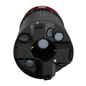
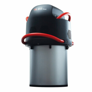
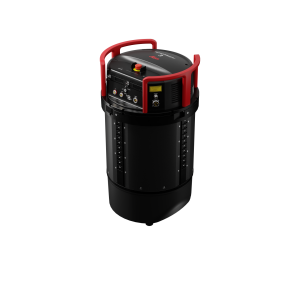
Large-format frame sensor configurations use multiple sensor heads. To produce a final frame requires several additional processing steps which include compensation of system specific parameters, co-registration of the multiple head patched data and the introduction of so-called "virtual frames".
In comparison, the Leica XPro line sensor workflow is straightforward to implement and easy to use for those familiar with the traditional analog frame processing. Most importantly, it produces the best results.
Performance Indicators
1. Manage data quality
- Quality control tools can indicate a successful data capture mission at the earliest stage of processing
- Uniform workflow from download to orthophoto generation
2. Add accuracy
- Direct georeferencing from NovAtel SPAN Inertial Position & Attitude System is used and further improved by aerial triangulation
- Aerial triangulation step of Leica XPro is simplified to a "black box" level
- Deliver at the speed of flight
- For stereoviewable images or high resolution orthophotos – Leica XPro is designed to deliver with extreme speed
- Products are ready for further handling by a wide range of digital photogrammetry software packages
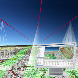
More matches to win
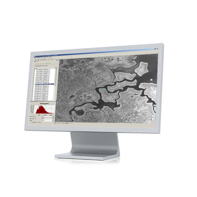
Leica XPro DSM pixel matching module delivers high density surface models from ADS images.
Leica XPro DSM info clouds are:
- With pixel level accuracy
- 100% fitting to triangulated image orientation
- From clean and reliable matching quality
- RGB- and FCIR coloured
- Containing vegetation classification
- From scalable matching environment supporting distributed processing
Going for gold
Leica XPro DSM has proven itself as a valuable tool for ortho production, city modeling or in application specific image processing, such as the mining industry. XPro DSM in use for monitoring the Kalgoorlie Super Pit – the Australia's largest open cut gold mine.
Do you have questions about this product?
- Questions about price, availability, and/or retailers
- Questions about technical specifications and usage
- Questions about suitability for your project or application
Documents
Brochure
leica-xpro-fly-767501-vi-08-en.pdf
3.41 MB


