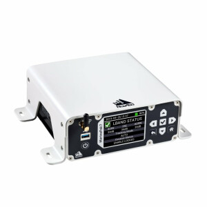
DM800 ECDIS
Electronic Chart Display & Information System
Danelec Marine
Birkeroed, DK
Description
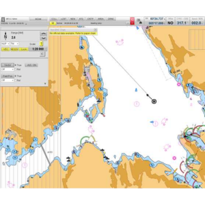
ECDIS is a computer based navigation system and automated decision aid, integrating a variety of data and displaying dynamic navigation information on screen.
Specifications
-
General
-
Year of current version
2015
Type
-
More information
-
Distinguishable features
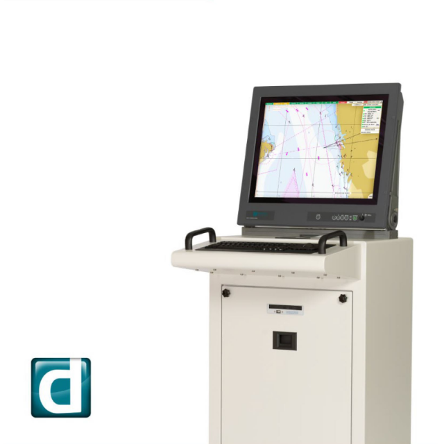
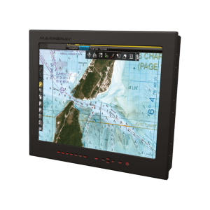
Compact, application-specific ECDIS hardware options with essential or enhanced features. A range of military-grade low-power LED monitors available in three sizes (19”, 24”, 27”). Multiple keyboard choices with several mounting possibilities. Standalone application or console installation options.
-
Basics
-
Software solution
Y
Combined software/hardware solution
Y
Operating System
Linux
-
Features
-
Functions for on board use of SOLAS vessels
Y
Functions for leisure market
N
All official data formats accepted
Y
Integration
ARPA targets
-
Interfacing
-
Max. number of analogue interfaces
0
Special interface for gyro compasses
N
Possibility of secondary displays
N
-
Additional functions
-
Map projection adjustable
Y
Head up display
Y
Relative motion display of AIS and radar targets
Y
Integrated sailing directions database
Y
Trial manoeuvre mode
Y
Weather overlay
Y
Conning display
N
User interface in multiple languages
Y
General print functions
N
Print functions of ISM-required route planning documents
N
-
Support
-
Documentation in multiple languages
N
24/7 Provision of chart data service
Y
Remote wireless maintenance
N