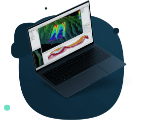
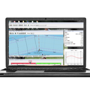
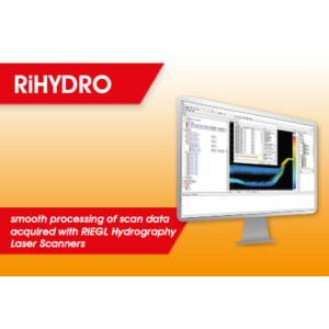
Description
Specifications
-
Hardware/software requirements
-
RAM [MB]
2000
HD{GB}
500
Use of GPU
N
Processor
["32-bit","64-bit"]
Stereo Display
N
Field of Use
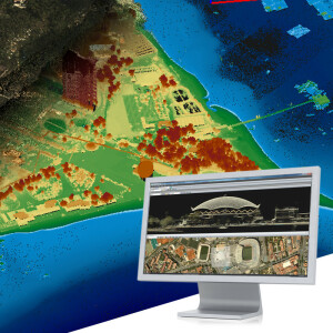
Hydrographic Surveying, Mine Hunting/MCM, Subsea Developments, Natural Resourse Exploration, Port Security, Academic/Government Research, Marine Archaeology, and Commercial Surveying
Languages Supported
English, Russian, more coming soon!
-
General
-
Year of last update
2015
Year of initial introduction
1983
Modules
Perspective Map, MosaicOne, BathyOne, PFM Area Editor, Geocoder, SeaClass, TargetOne, and SB-Interpreter.
Supported Systems (SB, MB, SSS, Lidar etc.)
Side Scan Sonar, Multibeam Echosounders, Sub-Bottom profiler, Interferometric Sonars, Synthetic Aperture Sonar, Singlebeam Echosounders
-
Processing
-
Sound velocity correction
Multiple profile correction support
Sound velocity correction type
Time
Tidal reduction
RTK-tide, Tide
Support tidal reduction network
N
Gridding/Interpolation techniques
Cell based, CUBE, Binning
Grid attributes {Std., Mean, Max, etc.}
average, RMS, min, max, first, last, standard deviation, density, uncertainty, number of hypothesis
Lay-back correction
Y
Siant range correction
Y
Mosaic creation
Y
Mosaic creation algorithms
ECA Group Triton Imaging own development
SSS Targeting
Y
Video integration
Y
Number of video channels
1
Assessment of bathymetry IHO Cat S-44
Y
Type of automatic cleaning algorithm(s)
Cube, beam suppression filters
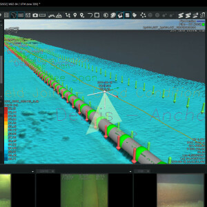
Multibeam water column imaging support
Y
Multibeam Backscatter Processing Functionality
Y
Mulitbeam Calibration mehods
Automatic and Manual
Manual editing capability
Y
-
Geodetic Functionality
-
Supported coordinate systems
Use Proj4 libraries for support of most predefined coordinate systems, with user-defined 7 parameter coordinate system and customized datum options.
Geographical Coordinates {Lat, Long}
Y
Ground Coordinates {E,N}
Y
Seven Parameter shift supported
Y
Supported vertical reference frames
Y
Separation model for vertical datum shift support
N
Local datum support
Y
Ellipsoidal reference support (GRS80)
Y
-
Product Generation
-
Automatic top of pipe calculation
N
Slope analysis
N
Dynamic event numbering
Y
Automatic cross profile creation
N
Volume calculation
Y
Contouring
Y
Sounding Selection methods
N
Export/Exchange options
ASCII, HTF, GSF, XML, BAG, GeoTIFF, DXF, KML, SEGY, IVS SD
Combining bathymetry / terrestrial point clouds
N
-
Visualisation and Editing
-
2D Editing
Y
2D Visualization
Y
Fly-throughs support
N
3D fly-through movies {*.mov etc}
N
Area based 3D editing
N
Area based 3D View
yes
3D Integrated models
No
Sounding cleaning algorithms
CUBE, suppression filters for line editing and dat
4D support
N
-
Files and Registering
-
Input Formates {XTF, XYZ, GSF etc}
XTF, TRA, XYZ, GSF, S7K, ALL, SDF, JSF, SEGY, plus support for many other formats.
Max. Number of Soundings
unlimited
Supported Hydrographic Systems
Sidescan sonar, Subbottom profiler, Multibeam and interferometric bathymetry, Water column. Model: Klein, Edgetech, Benthos, Geoacoustics, CMAX, RESON, Kongsberg, Odom, R2Sonic, Norbit, Applied Acoustics, Solstice, Kraken SAS, plus many other systems.
Background format support {Google, Bing, OGC, CAD etc.}
ENC S57, GeoTIFF, AutCAD DXF, CSV, XYZ

