
Leica LiDAR Survey Studio
Complete processing for airborne LiDAR sensors
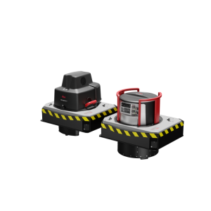
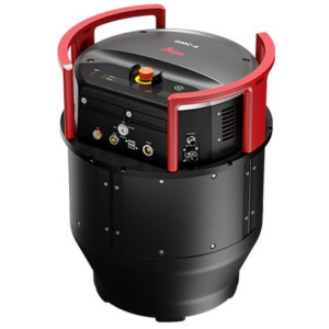
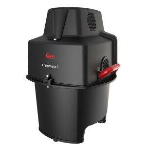
Leica Lidar Survey Studio (Leica LSS) is a state-of-the-art software tool for point cloud generation and cleaning of raw Lidar data acquired by the Leica HawkEye 4X and Leica Chiroptera 4X systems. Leica Lidar Survey Studio provides an extensive software toolbox for processing multiple missions and simultaneous review of data from all sensor channels.

Leica Geosystems Airborne Solutions
Switzerland
Description
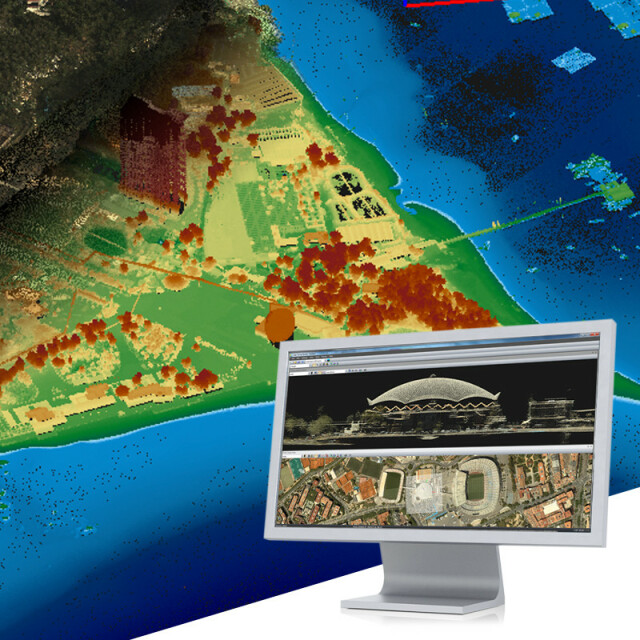
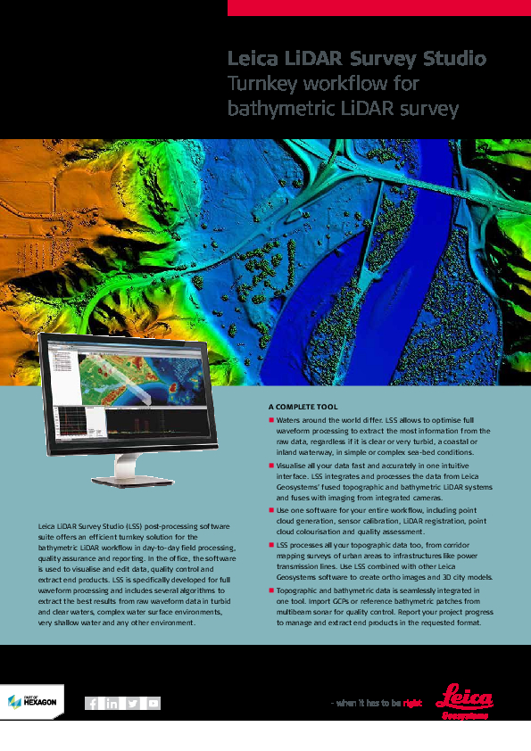
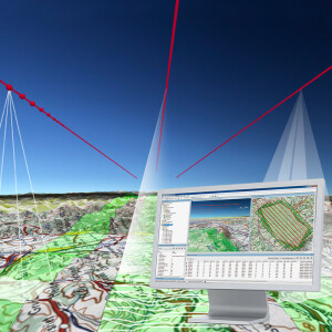
Leica LiDAR Survey Studio (Leica LSS) is a state-of-the-art software tool for point cloud generation and cleaning of raw LiDAR data acquired by the Leica HawkEye 4X and Leica Chiroptera 4X systems.
Leica LiDAR Survey Studio provides an extensive software toolbox for processing of multiple missions and simultaneous review of data from all sensor channels. This means that you can review the deep bathymetry, the shallow and the topographic LiDAR data at the same time including reviewing the image taken at the same location as the point cloud data.
In brief, post-processing of raw survey data from the Leica HawkEye 4X and Leica Chiroptera 4X systems consists of extraction of LiDAR points from the waveform data, refinement of position data with use of navigation post processing software and data from reference stations.
Do you have questions about this product?
- Questions about price, availability, and/or retailers
- Questions about technical specifications and usage
- Questions about suitability for your project or application
Specifications
-
Processing
-
Sound velocity correction
Sound velocity correction type
Tidal reduction
Mulitbeam Calibration mehods
Documents
Brochure
leica-lss-fly-841975-1018-en-lr.pdf
346.58 KB
Related products

