


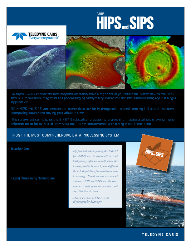
HIPS and SIPS
Built on decades of expertise and proven algorithms CARIS HIPS and SIPS is the leading hydrographic data processing system capable of integrating bathymetry, laser scanner, seafloor imagery, and water column data processing in a single application.
Teledyne Geospatial
Vaughan, CA
Description
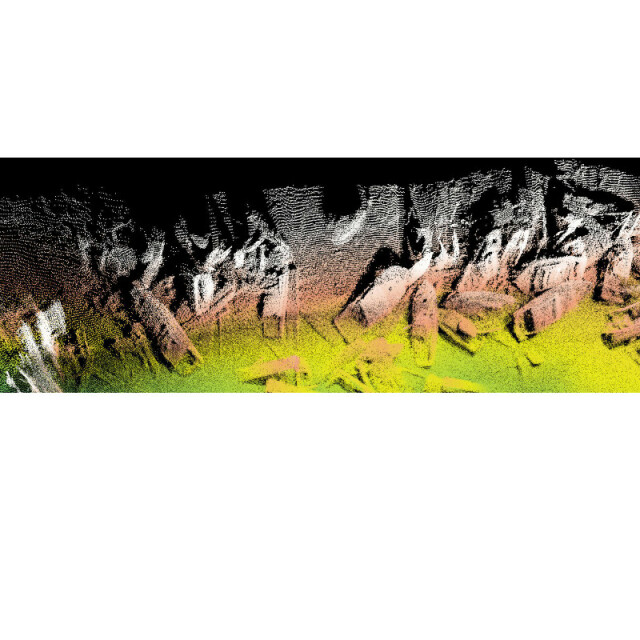
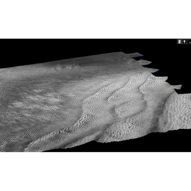
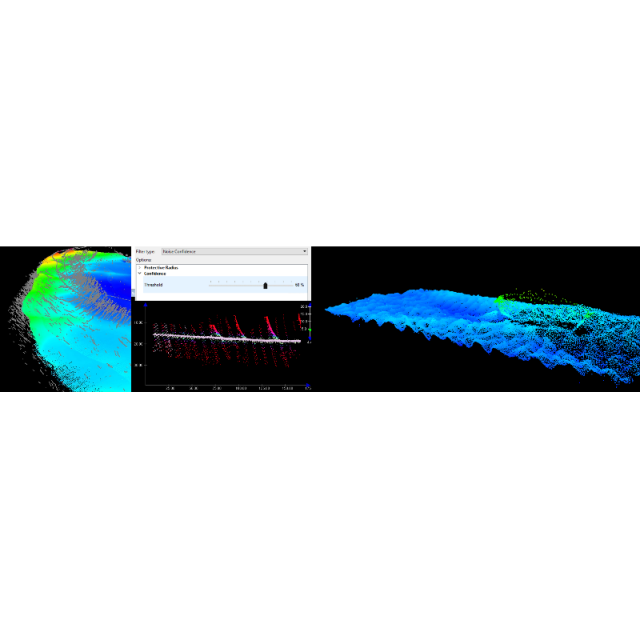
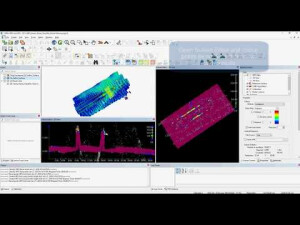
Backed by over 25 years of excellence, the HIPS and SIPS™ suite of products offers essential capabilities and professional grade tools for hydrographic data processing. Supporting over 40 industry standard data formats, HIPS and SIPS can easily integrate into any workflow. It enables you to simultaneously process multibeam, backscatter, side scan sonar, single beam and lidar data. It incorporates the latest in 3D visualization technology for the purpose of hydrography, oceanography and marine science. As part of the Ping-to-Chart™ workflow, HIPS and SIPS can be easily expanded to meet your wider geospatial needs.
With a core philosphy of automating workflows, HIPS and SIPS continues to add new tools such as CARIS Mira AI, Process Designer, and SIPS Backscatter to provide customizable and usable automation, improving processing efficiency.
Do you have questions about this product?
- Questions about price, availability, and/or retailers
- Questions about technical specifications and usage
- Questions about suitability for your project or application
Specifications
-
Hardware/software requirements
-
RAM [MB]
16000
HD{GB}
1
Field of Use
Hydrography, Oceanography, Exploration and Production, Scientific
Languages Supported
English
Use of GPU
N
Processor
64-bit
Stereo Display
N
-
General
-
Year of last update
2020
Year of initial introduction
1992
Modules
SIPS Essential, HIPS Essential, HIPS and SIPS Essential, HIPS Professional, HIPS and SIPS Professional
Supported Systems (SB, MB, SSS, Lidar etc.)
Single Beam, Multibeam, Side Scan Sonar, LiDAR, Laser Scanner, Synthetic Aperture Sonar (SAS), Interferometric
-
Processing
-
Sound velocity correction
Multiple profile correction support
Sound velocity correction type
Distance + Time
Support tidal reduction network
Y
Gridding/Interpolation techniques
Shoalest Depth, Swath Angle, Uncertainty, CUBE
Grid attributes {Std., Mean, Max, etc.}
Deep, Density, Depth, Mean, Std dev, Shoal, Uncertainty, Hypothesis Count, Hypothesis Strength, Slope, Aspect, RMS Error
Lay-back correction
Y
Siant range correction
Y
Mosaic creation
Y
Mosaic creation algorithms
Weighted blending
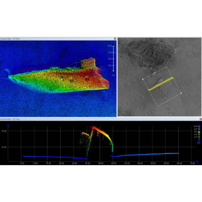
SSS Targeting
Yes
Video integration
N
Assessment of bathymetry IHO Cat S-44
Y
Type of automatic cleaning algorithm(s)
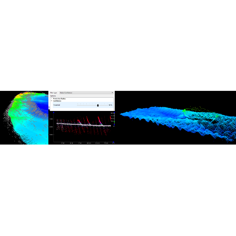
CUBE, Surface Filter, multibeam filters, attitude filters and smoothing
Multibeam water column imaging support
Y
Multibeam Backscatter Processing Functionality
*NEW* SIPS Backscatter Engine and Geocoder
Mulitbeam Calibration mehods
Manual
Manual editing capability
Y
Tidal reduction
RTK-tide, Tide
-
Geodetic Functionality
-
Supported coordinate systems
EPSG
Geographical Coordinates {Lat, Long}
Y
Ground Coordinates {E,N}
Y
Seven Parameter shift supported
Y
Supported vertical reference frames
Any
Separation model for vertical datum shift support
Y
Local datum support
Y
Ellipsoidal reference support (GRS80)
Y
-
Product Generation
-
Automatic top of pipe calculation
N
Slope analysis
Y
Dynamic event numbering
N
Automatic cross profile creation
N
Volume calculation
Y
Contouring
Y
Sounding Selection methods
Y
Export/Exchange options
ASCII, CSAR grid/point cloud, HTF, FAU, GSF, UNISIPS, XML, BAG, TIFF/GeoTIFF, ESRI ASCII, USGS DEM, DXF, CARIS Map, GML, KML/KMZ, CARIS HOB, S-57 000, ESRI Shape
Combining bathymetry / terrestrial point clouds
Y
-
Visualisation and Editing
-
2D Editing
Y
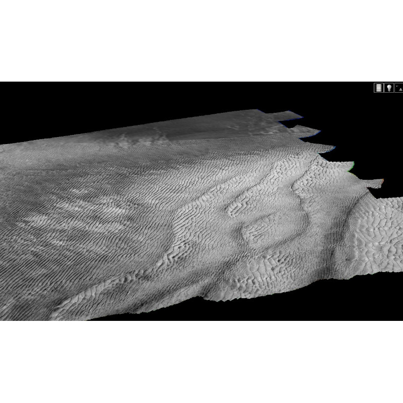
2D Visualization
Y
Fly-throughs support
Y
3D fly-through movies {*.mov etc}
Y
Area based 3D editing
Y
Area based 3D View
Y
3D View max number points
depends on pc
3D Integrated models
No
Sounding cleaning algorithms
CUBE, plane fitting, AI
4D support
N
4D fly through movies {*.mov etc.}
No
-
Files and Registering
-
Input Formates {XTF, XYZ, GSF etc}
Atlas SDA/ASD/ACF, Chirpscan 3D BRF, CMAX CMX/CM2, Coda, Edgetech Midas/JSF, EIVA SBD, Elac XSE, Furuno, GeoAcoustics RDF, GSF, Hawkeye, Hypack RAW/HSX/HS2, Imagenex D1P/83P/83M, Kraken TIL, LADS CAF, LAS, MarineSonics MST, ProSAS IMG, QMIPS DAT, Teledyne Reson S7K/PDS, Scripps, Klein SDF, Seabeam, Seafalcon, SEGY Singlebeam, SHOALS OUT/HOF/TOF, Kongsberg ALL/OUT/RAW/DEPTH, SPAWAR DAT, Swathplus SXP/SXR/SXI, Teledyne TDY, UNB MERGED, Winfrog RAW, XTF
Max. Number of Soundings
Infinite
Supported Hydrographic Systems
Eiva, Hypack, SIS, QPS, PDS2000
Background format support {Google, Bing, OGC, CAD etc.}
Gridded XYZ, DXF/DWG, BAG, DGN, BSB/KAP, TIFF IGA, ECW, ESRI ASC/ADF/FLT, ESRI Shape, GML, GIF, GRIB, CHR, JPEG/JP2, Intergraph CIT/COT/CRL/RLE, LandXML, Laser-Scan IFF, SID, NTF, MapInfo MIF,NetCDF NC/GMT, NOAA NGS BIN, PNG, S-57 000, TIF/TIFF, VPF DHT/LAT/LHT, BMP, OGC WMS/WMTS/WCS, Kongsberg SIS Grid
Documents
Brochure
hips-and-sips.pdf
418.22 KB
Other documents
-
Automatic Boresight Calibration with HIPS and SIPS928.33 KB
-
Automating the Ping-To-Chart Workflow1.21 MB
-
SIPS Backscatter and Seabed Classification2.74 MB
Videos


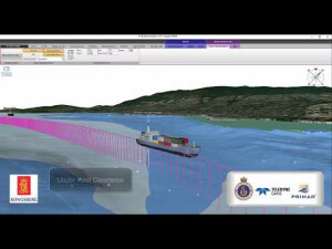
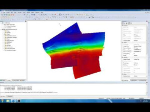
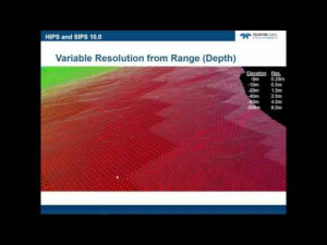


