
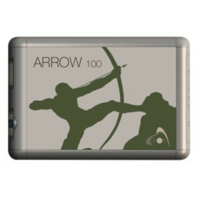


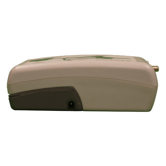


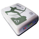
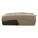

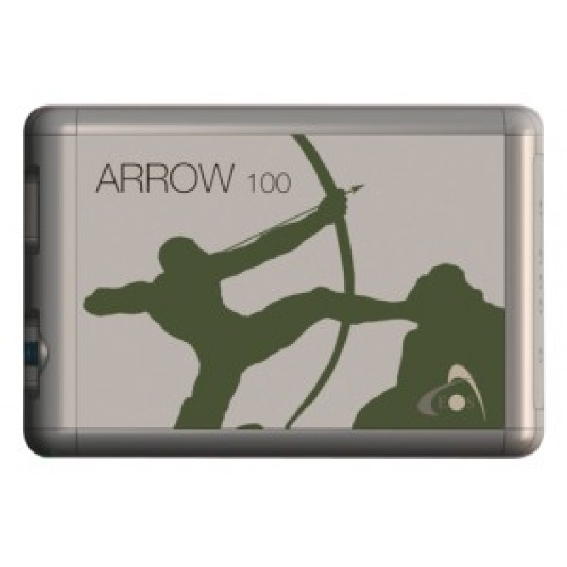


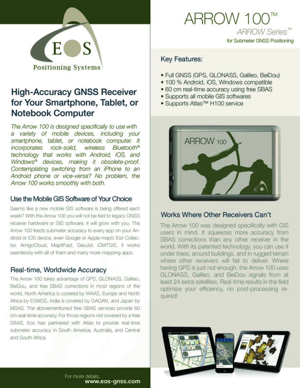
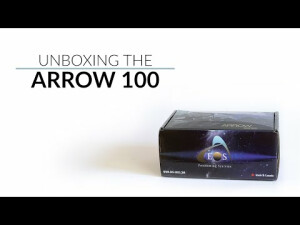
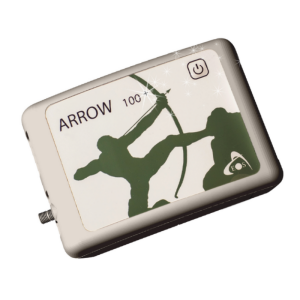
Arrow 100
Submeter Multi-Constellation GNSS Reciever
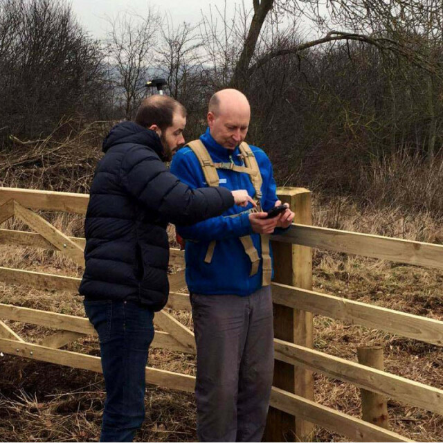
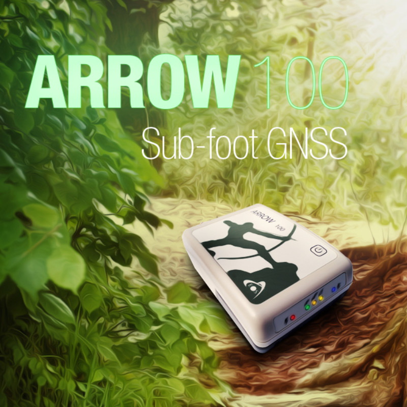
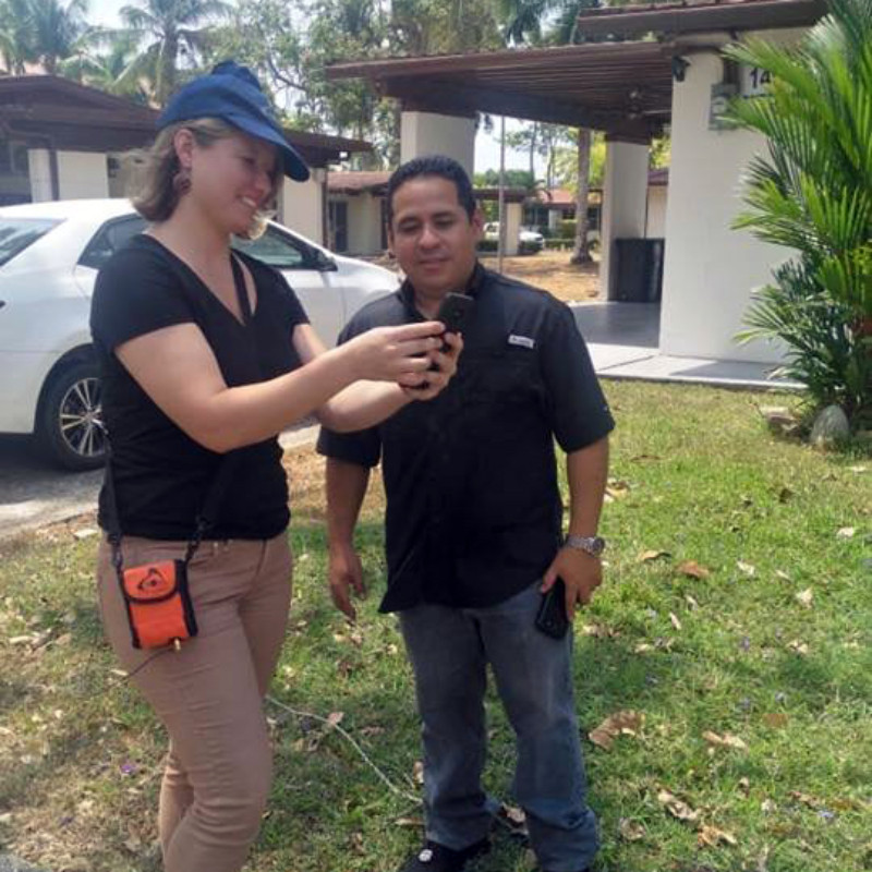
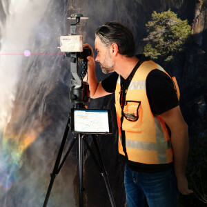
The Arrow 100 was designed specifically with GIS and mapping users in mind. This receiver squeezes more accuracy from GNSS constellations and free SBAS corrections than any other receiver in the world. Thanks to its patented technology, you can use the Arrow 100 under trees, around buildings, and in rugged terrain — where other receivers will fail to deliver. And thanks to real-time corrections processing in the field, you no longer have to spend time post-processing your data.

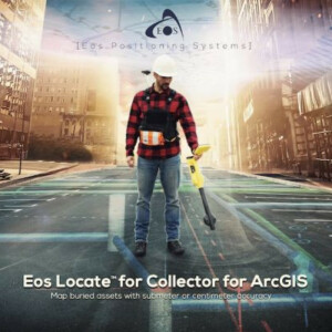
Eos Positioning Systems
Terrebonne, CA
Description
About the Arrow 100
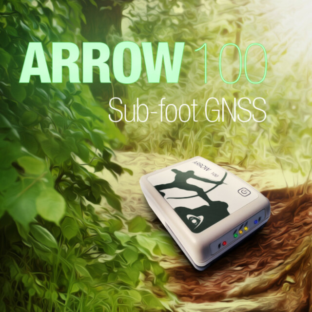
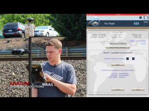
Real-Time Submeter Accuracy
![]()
The Arrow 100 was designed specifically with GIS and mapping users in mind. This receiver squeezes more accuracy from GNSS constellations and free SBAS corrections than any other receiver in the world. Thanks to its patented technology, you can use the Arrow 100 under trees, around buildings, and in rugged terrain, where other receivers will fail to deliver. And thanks to real-time corrections processing in the field, you no longer have to spend time post-processing your data.
All Satellites & Signals, with Optional Atlas®
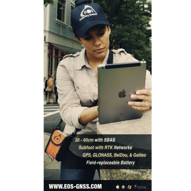
When having GPS is just not enough, the Arrow 100 steps in to provide at least 24 more satellites from the remaining global constellations (i.e., Glonass, Galileo, BeiDou). When its all-constellation support is combined with free SBAS corrections (in most regions of the world), the Arrow 100 can provide 60 cm real-time accuracy. No free SBAS in your region? No problem! Eos partners with the makers of Atlas® to allow for use of subscription services in remote areas, such as sub-Saharan Africa or certain parts of South America.
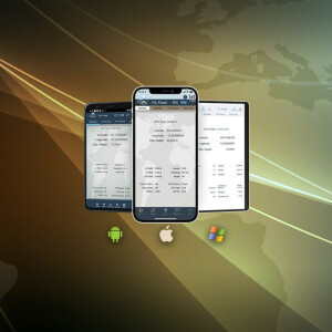
Supports Every Device and App
Thanks to Bluetooth® technology, the Arrow 100 is able to work with any mobile device, including iOS, Android, Windows, and Windows Mobile. It can also work with any third-party or in-house data-collection app. Simply browse our listing of field app partners or contact us for the app library to enable a high-accuracy location within your own app.
Do you have questions about this product?
- Questions about price, availability, and/or retailers
- Questions about technical specifications and usage
- Questions about suitability for your project or application
Specifications
-
General
-
Year of initial introduction
2014
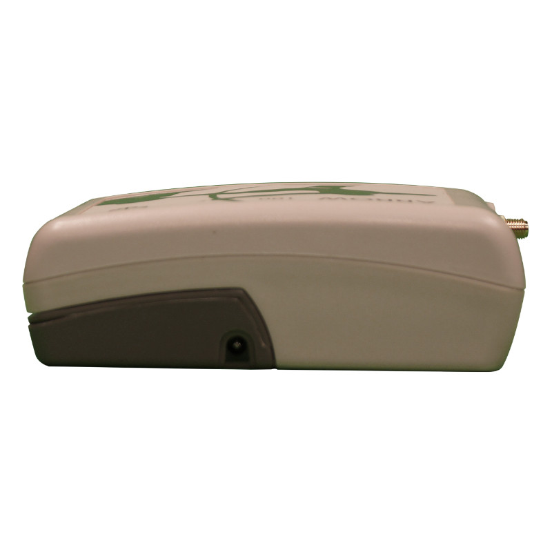
Height [m]
0.042
Depth [m]
0.125
Width [m]
0.084
Total Weight [kg]
0.372
Housing Material
Xenoy
Type
Land
-
Performance
-
Max. simultaneous tracked channels
64
Tracked satellite signals
12 GPS, 12 GLONASS, 22 BeiDou, 15 Galileo (QZSS, TBA)
SBAS differential signals
WAAS, EGNOS, MSAS, GAGAN (3 channels)
Type of measurements
L1 GPS, G1 GLONASS, B1, E1
Reacqisition time [s]
1
RTK Network Compatibility
Y
MRS functionality
Y
No. channels
64
-
Environment
-
Operating temperature: min. [°C]
-40
Operating temperature: max. [°C]
85
Humidity resistance
95% non-condensing
Water sand and dust proof
Waterproof, IP-67
Shock and vibration proof
Yes
ROHS compliance
Y
WEEE compliance
Y
-
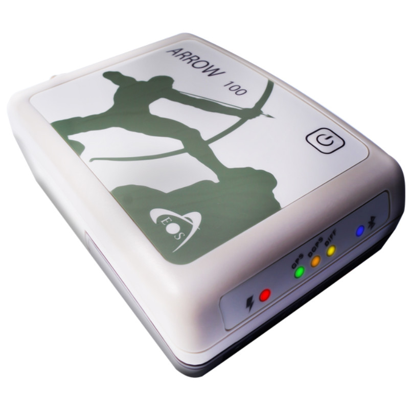
Communication: general
-
Communication ports
USB 2.0
PPS Out
Y
Bluetooth
Y
-
Communication: Protocols
-
RTCM standards for differential data
RTCM SC-104
NMEA output format
NMEA-0183
L-Band Compatible
Y
-
Horizontal uncertainty
-
code: DGNSS/RTC (constant part) [m]
0.4
phase: RTK kinematic (constant part) [m]
0.01
phase: RTK kinematic (variable part) [ppm]
1
RTK network solution methods
RTCM
-
Power
-
Operating power: min. [V]
4.5
Operating power: max. [V]
12
Internal power supply
Battery
External power supply
12VDC
Operating time with internal power supply [hr]
12
Certifications
FCC, CE and Lead-free
Rechargeable with (auto)battery
Yes
Direct car connection cable available
Yes
-
More information
-
Distinguishable features
The Arrow 100 is designed specifically to use with a variety of mobile devices, including your smartphone, tablet or notebook computer. The Arrow 100 incorporates Bluetooth that works with Android, iOS and Windows, making it obsolete proof. To learn more visit https://eos-gnss.com/product/arrow-series/arrow-100/
Documents
Brochure
arrow-100-web.pdf
1.07 MB
Other documents
-
Arrow 100 (Fr)896.7 KB
-
Arrow 100 (Sp)1.45 MB
-
Comparison Chart (3)1.63 MB
-
Laser Offsets (3)845.07 KB
-
About Eos (3)540.83 KB
-
Arrow 100 (Eng)2.21 MB
Videos


