Eos Laser Mapping for ArcGIS
Map Assets Without Having to Physically Occupy Them
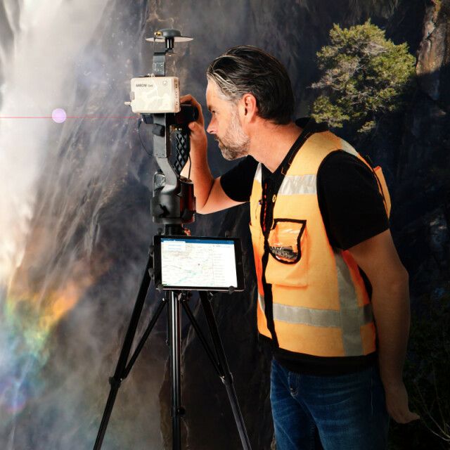
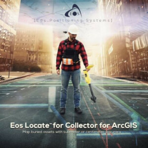
Meet the world’s first laser mapping solution for Esri’s ArcGIS apps. The Eos Laser Mapping™ solution is for field crews that need to map hard-to-occupy assets with 3D, survey-grade accuracy — without having to physically stand on top of every single point. This is great when the assets you need to collect are located in environments that are either GNSS-impaired (with poor line-of-sight to positioning satellites), or in areas that are difficult and dangerous to reach.

Eos Positioning Systems
Terrebonne, CA
Description
Key Benefits of Eos Laser Mapping™
Increase Accuracy and Efficiency
Eos Laser Mapping™ lets a technician stand hundreds of meters away from his target while collecting it with submeter or centimetre accuracy.
Keep Crews Safer
Keep your crews safer when they can map assets, such as a manhole located in a busy street intersection, from a safe distance away.
Choose From 3 Mapping Methods
With three laser mapping methods to choose from, you can pick the workflow that provides the greatest combination of mobility and efficiency.
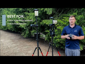
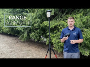
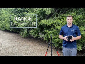
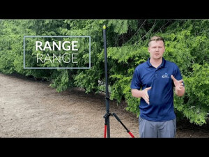
Choose From 3 Laser Mapping Methods
Range-Azimuth, Range-Backsight, and Range-Range
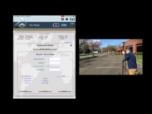
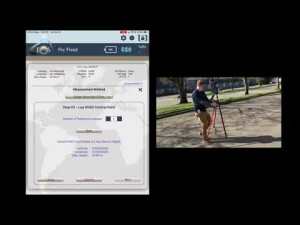
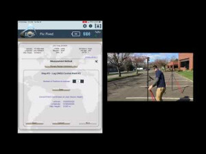
Customers interested in Eos Laser Mapping™ can choose from three methods: Range-Azimuth, Range-Backsight, and Range-Range (sometimes called “Range-Intersect”). Play the video for an overview of all three methods, and which method is best for which type of data collection. All three methods require the following equipment:
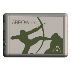
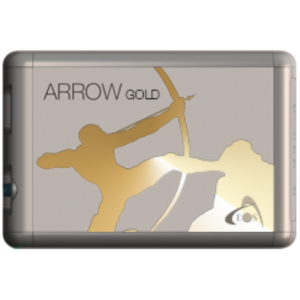
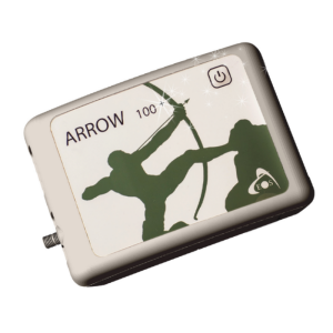
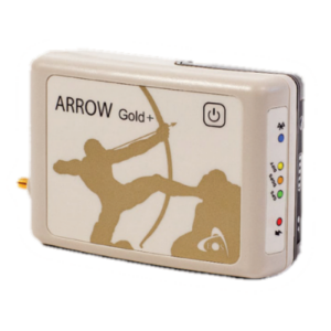
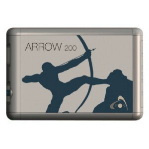
- An Arrow Series® GNSS ReceiverRA, RB, RR
- Eos Tools ProRA, RB, RR
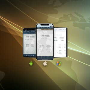
- ArcGIS Field Maps (or ArcGIS Collector)RA, RB, RR
- iOS Device (iPad, iPhone) version 11 or laterRA, RB, RR
- An LTI Laser Rangefinder
- LTI TruPulse 200X Laser RangefinderRB, RR
- LTI MapStar TruAngle Angle EncoderRB,
- LTI TruPulse 360 Laser RangefinderRA, RR
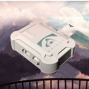
- Eos Bridge™ (recommended with the TruPulse 360 for the Range-Azimuth method)RA
- Recommended Mounting Equipment (varies by method):
- Range PoleRA, RR
- TripodRB
- LTI TruAngle Mounting Bracket (with TruAngle)RB
- LTI TruPulse Range Pole BracketRA, RR
RAIndicates equipment for Range-Azimuth laser mapping method
RBIndicates equipment for Range-Backsight laser mapping method
RRIndicates equipment for Range-Range (Range-Intersect) laser mapping method
How to Choose Your Method
Do you have questions about this product?
- Questions about price, availability, and/or retailers
- Questions about technical specifications and usage
- Questions about suitability for your project or application
Specifications
-
General
-
Type
Year of initial introduction
2018
Videos
