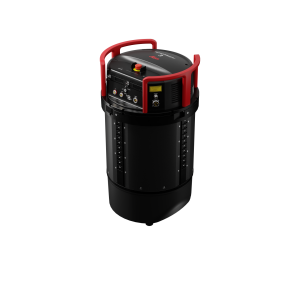
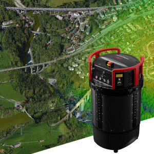
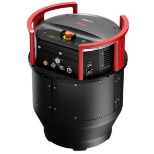
Leica FlightPro Flight Management & Control System
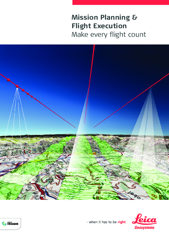
Make every survey flight a success
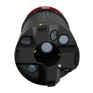
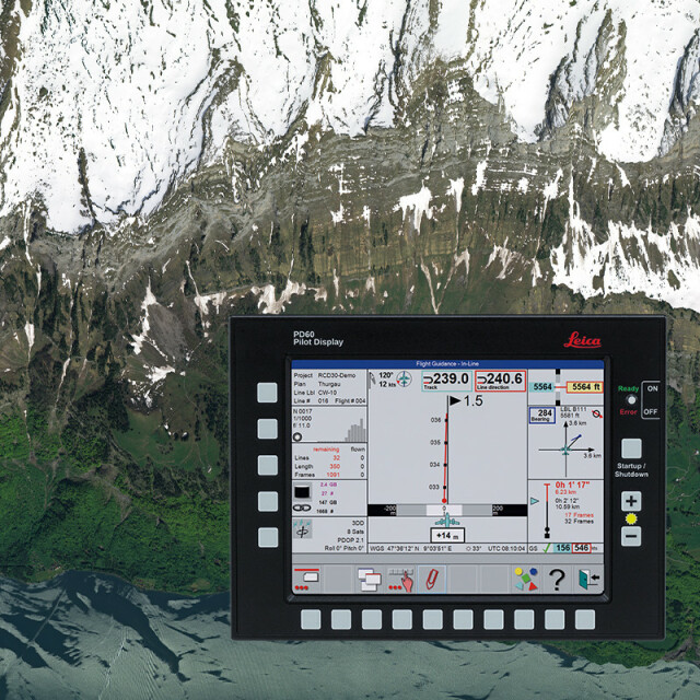
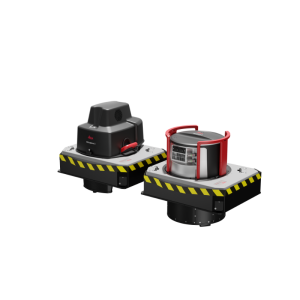
Leica FlightPro is a state-of-the art flight management and sensor control system that makes survey flights more effective and effortless for Leica Geosystems airborne sensors. Flight guidance, sensor configuration and release, system monitoring and logging are part of an integrated and complete system that increases productivity. The in-flight sensor and system quality control features cut data acquisition cost.

Leica Geosystems Airborne Solutions
Switzerland
Description
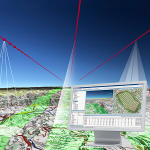
The optimized workflow loop from flight planning to flight execution to flight evaluation and then again to planning shortens projects and generates reliable project feedback. The consistent design and combination of hardware components and the software user interface across all sensors systems makes users more productive and ensures consistent acquisition.
Do you have questions about this product?
- Questions about price, availability, and/or retailers
- Questions about technical specifications and usage
- Questions about suitability for your project or application
Specifications
-
General
-
Application
Deliverable vector products [2D and 3D]
Options for delivery
Main design elements
Processing type
Source of Point Clouds
Desktop platform support
Documents
Brochure
missionpro-flightpro-workflow-bro-846611-1120-en-lr.pdf
4.23 MB

