
About Emesent
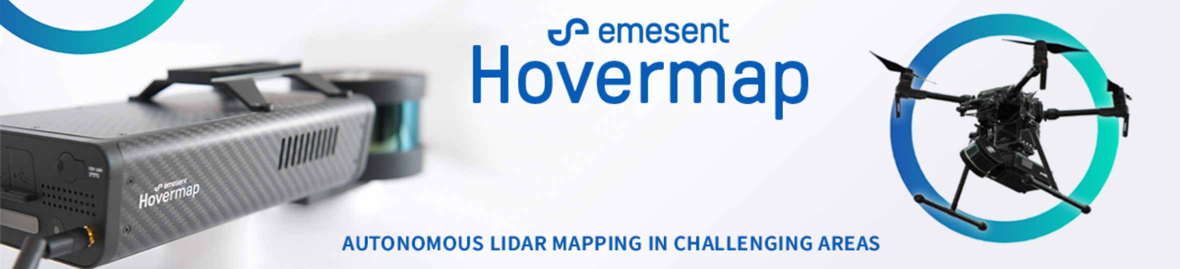
Emesent is a world-leader in drone autonomy, LiDAR mapping, and data analytics. Founded in 2018, with deep connections to Australia's globally recognised CSIRO, Emesent has since built a reputation for delivering high-quality data capture in the mining, infrastructure, survey and mapping industries. Our flagship product, Hovermap, is a smart mobile scanning unit that combines advanced collision avoidance and autonomous flight technologies to map hazardous and GPS-denied environments. Hovermap is uniquely versatile, it can be handheld, drone- or vehicle-mounted to map challenging, inaccessible areas. With a wide range of applications, Hovermap is being used by customers around the world.
Featured products


Recent articles
![wp-top-banner-Post-1[1].png](https://cdn.geo-matching.com/EoODB1LR.png?w=320&s=9be0928c915cdd30d4482e9446187ae8)


Main office
-
40-52 McDougall Street, Kings Row Office Park, Level G, Building 4
Milton 4064
Australia -
+61 7 3548 9494
- https://www.emesent.io/