![wp-top-banner-Post-1[1].png](https://cdn.geo-matching.com/EoODB1LR.png?w=480&s=8d14f0fe27554b0ed5eead51ce3a8697)
Showing 1-9 of 10 results
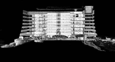
3D Scanning Iconic Beacon Isle Hotel in South Africa

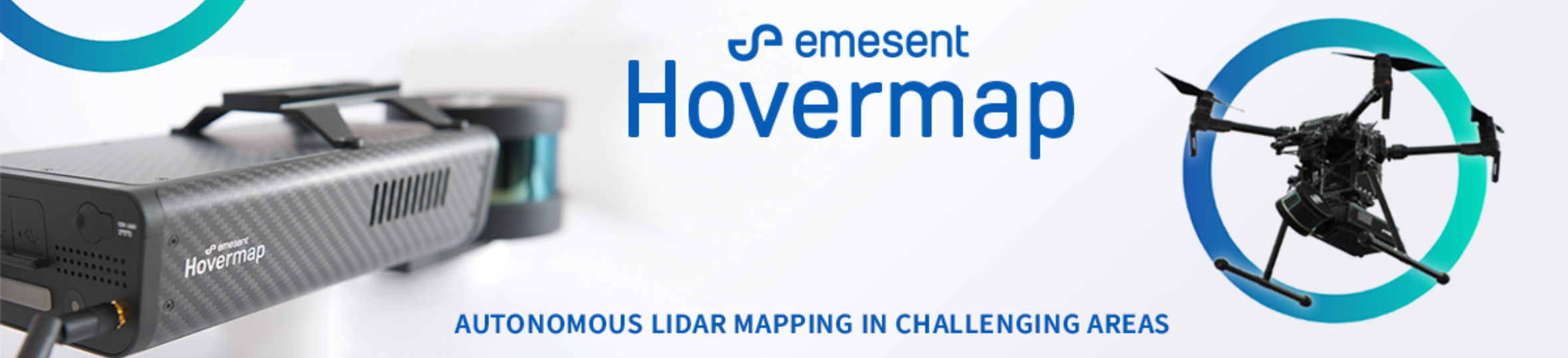
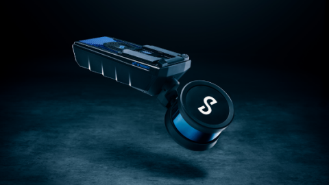
Emesent launches new Lidar mapping solution with HOVERMAP CORE
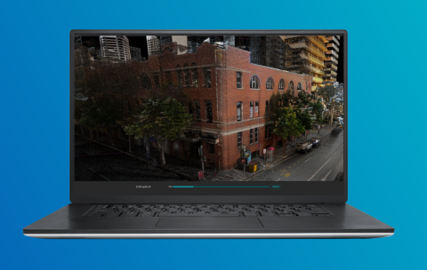
Emesent showcases improvements to data processing and visualisation software Aura

Three Newly Launched Time Saving Products for Geospatial Professionals
Emesent Hovermap ST Sets Standard for Autonomous Lidar Mapping
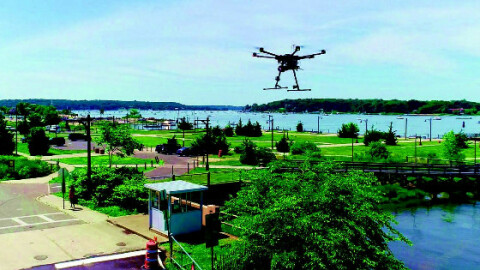
UAS Lidar Scanner Helps Produce Point Cloud Data for Stockpile Volumetrics
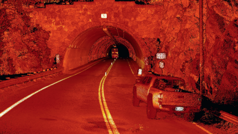
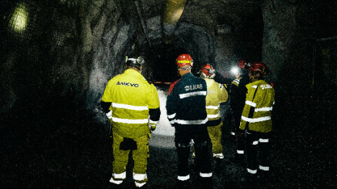
Using a Mobile Mapper to Inspect Road Tunnel Safety with Minimal Disruption to Traffic