


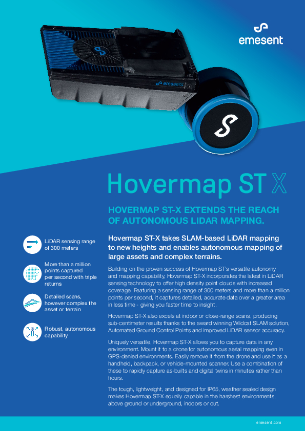
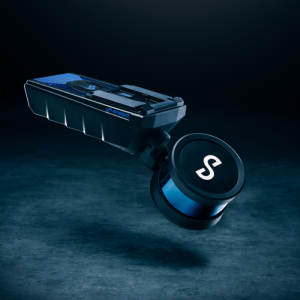
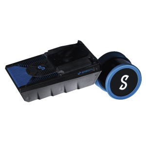
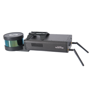
Hovermap ST-X
Hovermap ST-X Extends the Reach of Autonomous LiDAR Mapping.
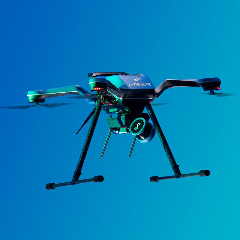
Hovermap ST-X takes SLAM-based LiDAR mapping to new heights and enables autonomous mapping of large assets and complex terrains

Emesent
Milton, AU
Description
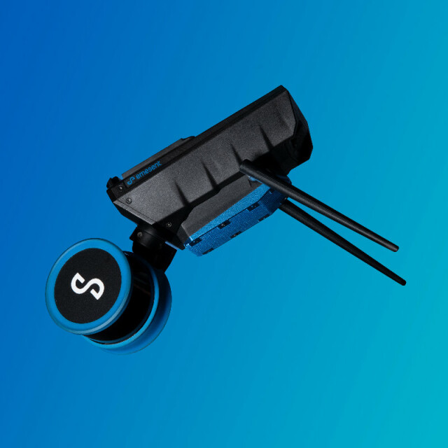
Building on the proven success of Hovermap ST’s versatile autonomy and mapping capability, Hovermap ST-X incorporates the latest in LiDAR sensing technology to offer high density point clouds with increased coverage. Featuring a sensing range of 300 meters and more than a million points per second, it captures detailed, accurate data over a greater area in less time - giving you faster time to insight.
Hovermap ST-X also excels at indoor or close-range scans, producing sub-centimeter results thanks to the award winning Wildcat SLAM solution, Automated Ground Control Points and improved LiDAR sensor accuracy.
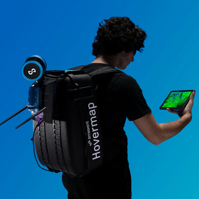
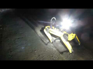
Uniquely versatile, Hovermap ST-X allows you to capture data in any environment. Mount it to a drone for autonomous aerial mapping even in GPS-denied environments. Easily remove it from the drone and use it as a handheld, backpack, or vehicle-mounted scanner. Use a combination of these to rapidly capture as-builts and digital twins in minutes rather than hours.
The tough, lightweight, and designed for IP65, weather sealed design makes Hovermap ST-X equally capable in the harshest environments, above ground or underground, indoors or out.
Do you have questions about this product?
- Questions about price, availability, and/or retailers
- Questions about technical specifications and usage
- Questions about suitability for your project or application
Specifications
-
Application
-
Main applications
Mount it to a drone for autonomous aerial mapping even in GPS-denied environments. Easily remove it from the drone and use it as a handheld, backpack, or vehicle-mounted scanner.
-
Measurement Characteristics
-
Max. field of view [degrees]
360
-
Physical Properties
-
Weight [kg]
1.57
Water and dust proof
IP65
-
Laser Pulse Characteristics
-
Min. range of laser pulse [m]
0.5
Max. range of laser pulse [m]
300
-
Power Supply
-
Type of battery
V-Mount 98Wh, 14.8v 6600mAh battery
-
Operation Characteristics
-
Requirements for compatible UAVs
DJI M300, DJI M210v1, Acecore Zoe
Camera included
No
-
Data and Software
-
Type of storage
flash card
Max. storage space [mb]
128000
Included software
Emesent SLAM Processing software license, optional: Hovermap Autonomy software license & Hovermap Plus software license
-
General
-
Year of last update
2022
Year of introduction
2022
Documents
Brochure
hovermap-st-x-eng-2209-brochurespecs-1.pdf
1.45 MB


