


UltraNav
Boost your flight productivity
The UltraNav v7 flight planning and direct georeferencing solution optimizes your UltraCam data collection for highest productivity, precision, and cost-efficient operations.

Vexcel Imaging
Graz, AT
Description
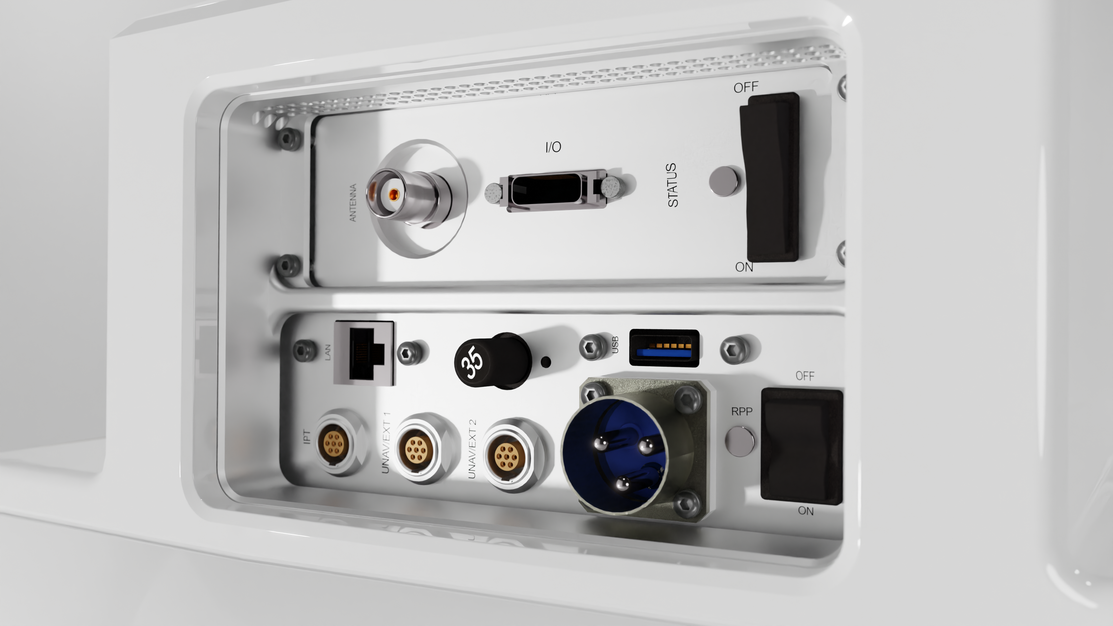
UltraNav version 7 offers a fully integrated workflow, guiding customers every step of the way. During 3D Flight Planning, UltraNav uses digital elevation models for fast, interactive and cost-effective flight plan designs. Up in the air, the software manages camera parameter settings, exposure triggering and automated mount stabilization for precise ground coverage and image overlap.
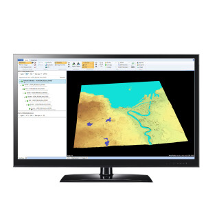
Two displays for real-time navigation for the pilot and in-flight quality control for the operator, support smooth and efficient data collection. Back on the ground, industry-leading GNSS/INS post-processing software achieves both maximum accuracy and maximum efficiency for direct georeferencing. Customers can choose between 510 and 610 accuracy class performance levels based on the included Inertial Measurement Unit (IMU). All IMUs are ITAR free for maximum flexibility.
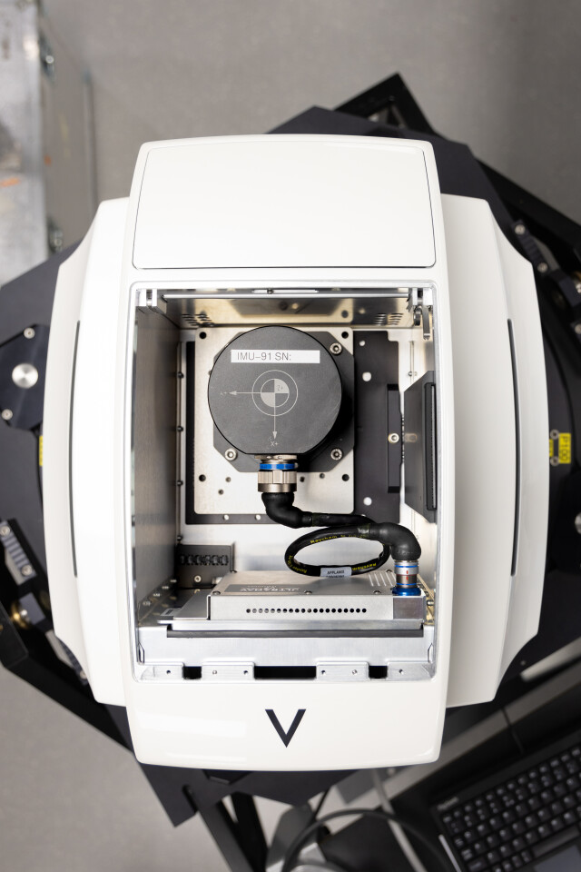
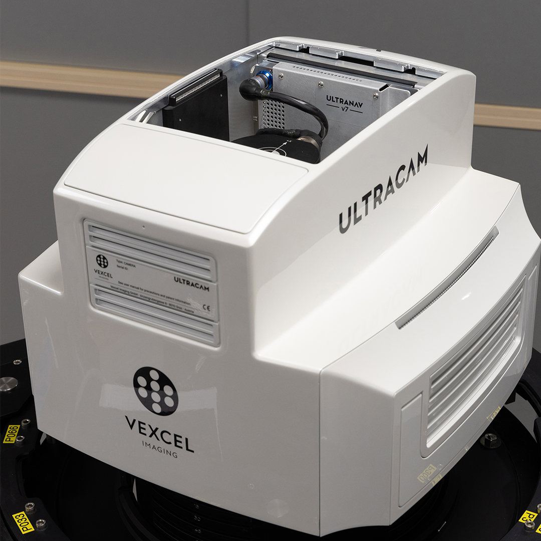
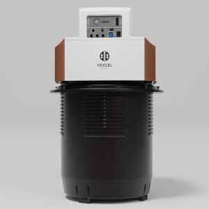
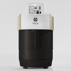
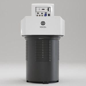
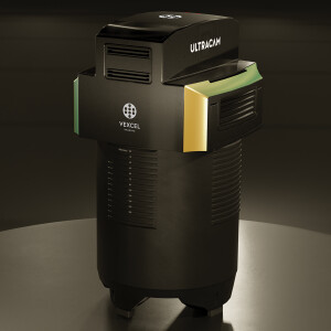
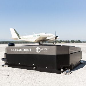
For easy handling and space saving in often cramped aircrafts, the IMU and UltraNav module are fully embedded into the UltraCam sensor head. In 4th generation UltraCams, both can be comfortably accessed via a bay door on top of the camera and can be changed on-site.
“The UltraNav flight planning and direct georeferencing solution is the easiest system we have to use. I can train operators to use this system faster than I can any other. A new operator is typically trained and ready to go in less than 2 or 3 days of training. Real-time feedback of data is great!” - Emilio, UltraNav Customer
Do you have questions about this product?
- Questions about price, availability, and/or retailers
- Questions about technical specifications and usage
- Questions about suitability for your project or application
Specifications
-
Data storage
-
Type of storage
SSD
-
Operation Characteristics
-
Platform
-
General
-
Year of introduction
2022
-
Required Computer System
-
System includes hardware
Y
-
Hardware
-
Camera unit Weight [kg]
1.8
Camera unit Length [m]
0.195
Camera unit Width [m]
0.281
Camera unit Depth [m]
0,022
Power requirements
Supplied by camera
Type of GNSS/ INS positioning system
Inertial Measurement Unit (IMU)
-
Uncertainty and resolution
-
Pitch and roll pointing precision [deg]
0.015
Heading pointing precision [deg]
0.035
Elevation precision at 1 km [m]
0.1
-
Application areas
-
Select an application area:
-
Product characteristics
-
Choose characteristics:
Documents
Brochure
UltraNav_en.pdf

Videos


