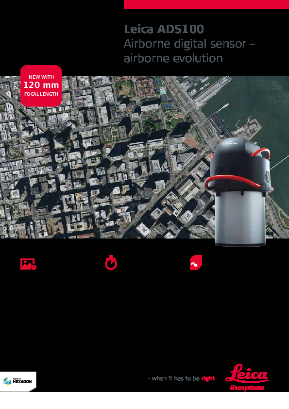
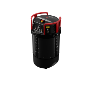
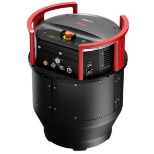
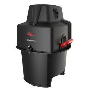
Leica ADS100 Airborne Digital Sensor
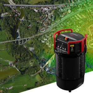
Higher Acquisition Efficiency, Increased Image Quality, Reduced Flight Time, Fastest Processing
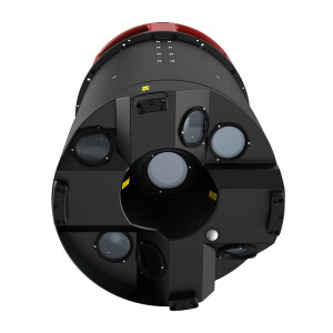
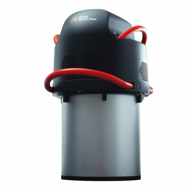
Leica ADS100 SH100 & SH120 digital airborne sensor Leading technology: higher image quality, enhanced accuracy, improved efficiency, higher processing speed, more applications, reduced costs. The newer SH120, 120mm focal length, is designed for urban mapping or high-altitude data collection. • Full multispectral colour swath width of 20000 pixels in RGBN • Enhanced sensitivity, expanded operational envelope with selectable TDI stages • Full colour RGBN: forward, nadir, backward

Leica Geosystems Airborne Solutions
Switzerland
Description
Leica ADS100 SH100 and SH120 airborne digital sensor
The Leica ADS100 product family continues to lead the path of airborne evolution. With its number of unique features, it is designed to meet the needs of 21st-century airborne imaging with higher image quality, enhanced accuracy, improved acquisition efficiency, higher processing speed, more applications and reduced costs. Its newer variant, the SH120 with its 120mm long focal length for increased ground resolution is designed for urban mapping or high-altitude data collection.
Discover enhanced image quality
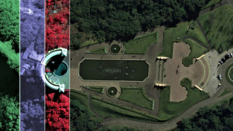
- Full multispectral colour swath width of 20000 pixels in RGBN for the highest data acquisition efficiency
- Enhanced sensitivity and expanded operational envelope with selectable TDI stages
- Full-colour RGBN in forward, nadir and backward for more flexible stereo interpretation
Reduce your flight time
- Improved cycle time to acquire smaller GSDs at a faster speed
- The 120mm focal length increases ground resolution, making the ADS100 SH 120 the perfect sensor for high-altitude data collection and urban mapping
Experience the fastest processing workflow
- Embedded Novatel SPAN GNSS/IMU with tightly coupled processing to reduce fuel consumption
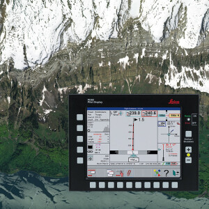
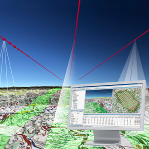
- End-to-end workflow from mission planning with Leica MissionPro to orthophoto and point cloud generation with Leica XPro
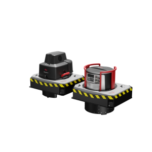
Common sensor platforms
In addition, the Leica ADS100 product family supports a unified aircraft installation. Significantly reduce the cost of ownership and simplify operations when all aircraft components, such as Leica PAV100 high-performance, camera controller CC33 as well as operator and pilot displays, can be shared with other Leica Geosystems airborne sensors.
Do you have questions about this product?
- Questions about price, availability, and/or retailers
- Questions about technical specifications and usage
- Questions about suitability for your project or application
Specifications
-
Data storage
-
Type of storage
SSD
Storage capacity [GB]
7680
Storage Replaceable
Y
-
Sensor Characteristics
-
Number of lenses
1
Lenses: focal lengths [mm]
62.5 and 120
Type CMOS
n.a.
Lenses: interchangeable
no
Type CCD
20000 pixel line CCD
Pixel size [µm]
5
Megapixels
n.a.
Dynamic range [bits]
14
CCD RGB
yes
Charged Coupled Device (CCD) IR
yes
CCD simultaneous
n.a.
Data collection rate [megapixel/s]
436
Max. across-track FOV [deg]
77.3
-
Operation Characteristics
-
Platform
Fixed-wing
Helicopter
N
Fixed-wing
Y
Min. flying height [m]
500
Typical flying height [m]
1000
Forward motion compensation
Y
In flight pre-view
Y
Temperature controlled pod
N
-
Software
-
On board image storage format(s)
internal
Type of mission planning software
Leica MissionPro
Type of postprocessing software
Leica XPro
-
General
-
Year of introduction
2013
Last update
2013
-
Hardware
-
Camera unit Weight [kg]
52
Power requirements
250
Type of GNSS/ INS positioning system
Novatel SPAN
-
Application areas
-
Select an application area:
-
Product characteristics
-
Choose characteristics:
Documents
Brochure
leica-ads100-ds-841267-1016-en-lr.pdf
438.66 KB


