![phase-one-introduces-150mp-camera-designed-for-earth-observation-and-space-awareness-header.png](https://cdn.geo-matching.com/dogAAOnZ.png?w=480&s=49bc9b6a8620b86ba6dec1ae73fb8fde)
![nyborg-haubor-002.jpg](https://cdn.geo-matching.com/kpbqEdn3.jpg)
![phaseone-white.png](https://cdn.geo-matching.com/YRBb97RO.png)
Showing 1-9 of 13 results
![phase-one-introduces-150mp-camera-designed-for-earth-observation-and-space-awareness-header.png](https://cdn.geo-matching.com/dogAAOnZ.png?w=480&s=49bc9b6a8620b86ba6dec1ae73fb8fde)
![inspired-flight-if1200a-hexacopter-uas-for-surveying-and-inspection-with-phase-one-camera.png](https://cdn.geo-matching.com/1pPkkmnm.png?w=480&s=6888d3359395b0e01bb145c6d84684b7)
Inspired Flight and Phase One announce the launch of a new plug and play UAS
![sub-millimeter-resolution-dam-survey-with-uavs-in-switzerland.jpg](https://cdn.geo-matching.com/kR9d7goQ.jpg?w=480&s=e5426c35fedeb60afd63aa69989ba5c3)
Sub-millimeter-resolution Dam Survey with UAVs in Switzerland
![4xband-digital-aerial-cameras-allow-for-data-acquisition-at-faster-speeds-header.png](https://cdn.geo-matching.com/vRM81YoY.png?w=480&s=a792558ede187ba938e916983338fbba)
4-Band Digital Aerial Cameras Allow for Data Acquisition at Faster Speeds
![inspection-uav-interactive-360deg-high-resolution-aerial-imaging.png](https://cdn.geo-matching.com/OomEagow.png?w=480&s=936a6e5531f40cd6017d748df54c8d86)
Inspection UAV Allows for Interactive 360° High-Resolution Aerial Imaging
![3d-city-models-for-urban-mapping-with-aerial-cameras.jpg](https://cdn.geo-matching.com/LnL8wdnj.jpg?w=480&s=b9cd12c497814386b9b508c871f60ae5)
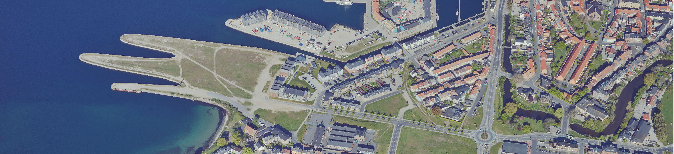
3D City Models for Urban Mapping with Aerial Cameras
![together-acecore-phase-one-collaborated-to-provide-comprehensive-inspection-solutions.png](https://cdn.geo-matching.com/WRZ8z9pL.png?w=480&s=78bc38889751088d377ba35f34409fb4)
Together, Acecore & Phase One Collaborated to Provide Comprehensive Inspection Solutions
![high-resolution-uas-cameras-help-in-power-line-corridor-mapping-header.png](https://cdn.geo-matching.com/WRZ8QdpL.png?w=480&s=c777f598510a28bc191ae49a8e8d31f4)
How High-Resolution UAS Cameras Help in Power Line Corridor Mapping
![high-resolution-digital-aerial-cameras-help-nasa-in-forest-regrowth-study-header.png](https://cdn.geo-matching.com/OomE70ow.png?w=480&s=fe071865bf565e5e1378c92c1f5ccdcc)