
OxTS Win ‘pitch the press’ Award at Geo Week for OxTS Georeferencer
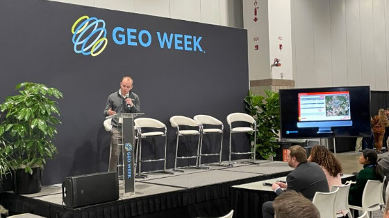
OxTS were again one of the exhibitors at Geo Week in Denver, USA. The show brings together geospatial professionals from across the world with the intention of discussing the latest trends in the industry. With many organisations keen to show what they’ve been developing over the previous 12 months, the latest in geospatial technology is always on show at Geo Week. For many this is a key reason for attending.
“Pitch the Press”
“Pitch the Press” is a unique opportunity for exhibitors to pitch their solutions to a group of editors and reporters looking for the most unique and innovative new solutions to be showcased at Geo Week. OxTS were accepted as one of the 15 companies to get the opportunity to present their software, and OxTS Product Engineer, Jonathan Deacon, was happy to take on the challenge.
Jonathan ‘pitched’ the OxTS Georeferencer and Boresight Calibration tool focusing on the simplicity and ease of use of the technology.
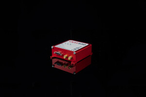
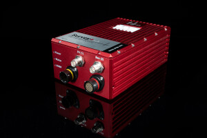
OxTS Georeferencer is OxTS’ proprietary Lidar georeferencing and boresight calibration tool. The software takes the navigation measurements from any INS and georeferences Lidar data from multiple sensor families at the touch of a button. Furthermore, and arguably more important, the boresight calibration tool, a feature within the software, allows surveyors to take advantage of a quick and simple, data-driven method, to boresight their Lidar payload. The process, which takes as little as five minutes to complete, involves surveying two retro-reflective targets using the equipment already present for surveying.
Winners!
Jonathan wowed the audience with his two minute pitch and OxTS came away as a new Geo Week
“Pitch the Press” winner.
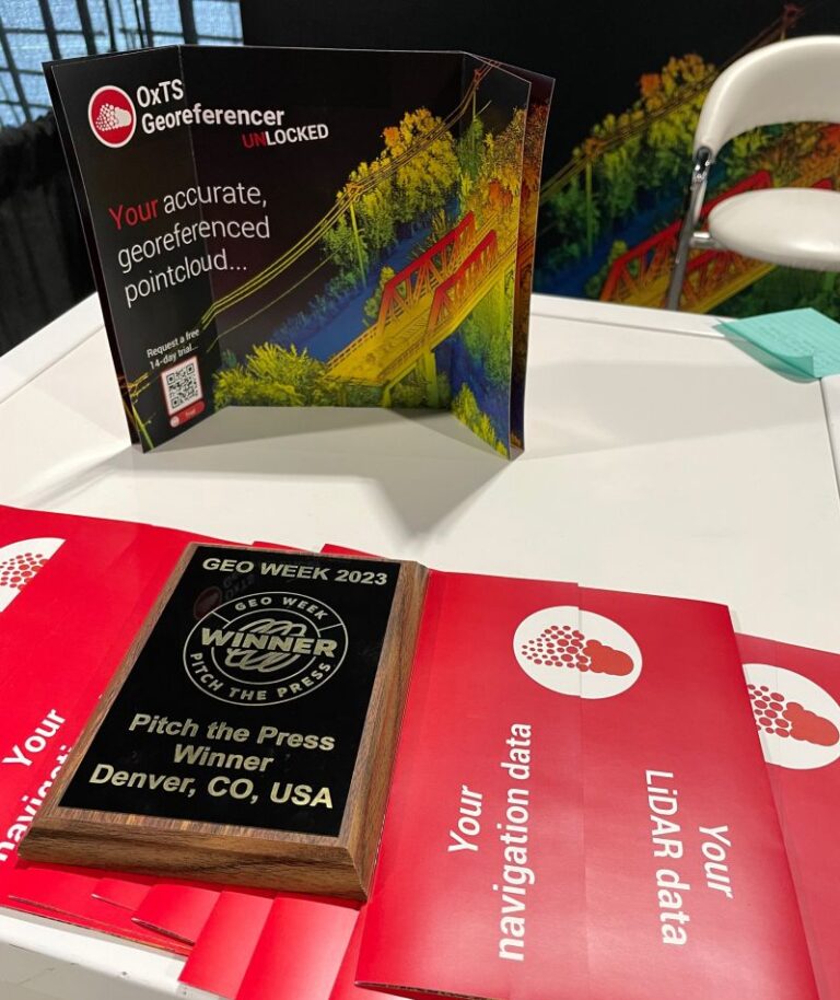
The judges commented…
‘OxTS introduced their OxTS Georeferencer tool, a game-changing Lidar georeferencing
tool simplifying incredibly complex technology to a truly impressive level. This software tool
enables surveyors to quickly and effectively boresight their payload, and georeference their
Lidar sensor data, allowing professionals to produce accurate pointclouds in just minutes.
Judges were particularly blown away by how simple this ‘absolutely essential’ process has been
made, with the presentation indicating that just a quick tutorial video and a simple click of a
button produces the results a surveyor is seeking.’
Do you have questions about this news item?
Get in touch with Oxford Technical Solutions - OxTS, and they would be happy to answer any questions you have about pricing, suitability, availability, specs, etc.


![YRBKMWXn[1].png](https://cdn.geo-matching.com/En53gY1o.png?w=320&s=7a38f8b5a386c40e410a744082db4a37)

