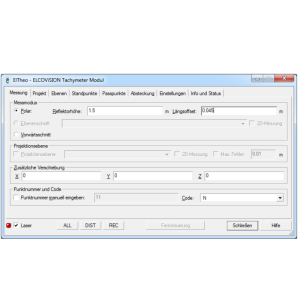
CAD Software
CAD (Computer Aided Design) software is used by engineers and architects to create 2D and 3D designs, digital drawings and (technical) documentation. CAD software is widely used in architecture and mechanical, civil and electronical engineering. Compare different CAD software packages below and easily inquire about prices and other product information from suppliers.
Filters
Manufacturer type
Manufacturers
Data management
Security options for access
Search on file content
Version management
Save standardization for drawings/maps
Spatial reference system
Geometry types
Points
Lines
Surfaces
Other
License or freeware
Training
Extensions
2D Editing
Select
Remove
Graphic transformations
2D Construction
Positioning by coördinates
Positioning by snapping
Positioning on virtual raster
Positioning by Dimensions
Positioning in relation to other element
Storage
Type of data storage
Input formats
Export formats
Compression
Visualisation
Types
Change view
Data analysis
Clip
Merge
Measurement
Topology
Interoperability
Web standards
Spatial database management systems
Messaging protocols
Publish standards
Extensions
General
Year of introduction
Year of last update
Supported operation system
Showing 1-8 of 8 results

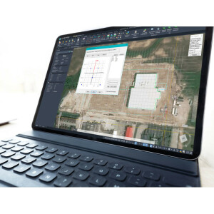
embeddedCAD
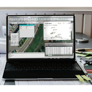
MicroSurvey CAD
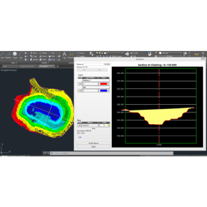
VisionCivil Lt.
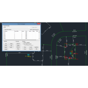
VisionPlus
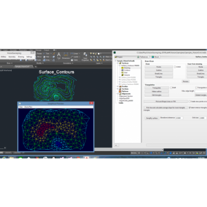
VisionCivil Pro

Pythagoras CAD
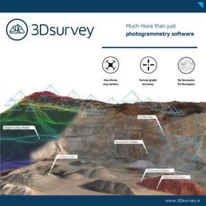
3Dsurvey Software
Need some help? Ask a Geo-matching expert!
Our team and network of 1000+ manufacturers and developers is here to assist you.


