Mining
Mining applications focus on ore body exploration and the mapping of patterns on the surface or subsurface that could indicate their existence. [Ground Penetrating Radars] and [Gamma Spectrometers] are ideal for subsurface exploration while [UAS Lidar Systems] and [UAS Cameras] are suitable solutions for mapping the surface.
Product themes
Recently added products

Featured manufacturers


Browse by category
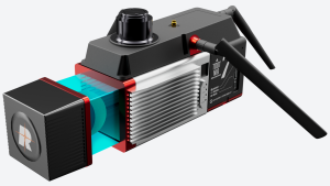
Aerial and Satellite Imagery
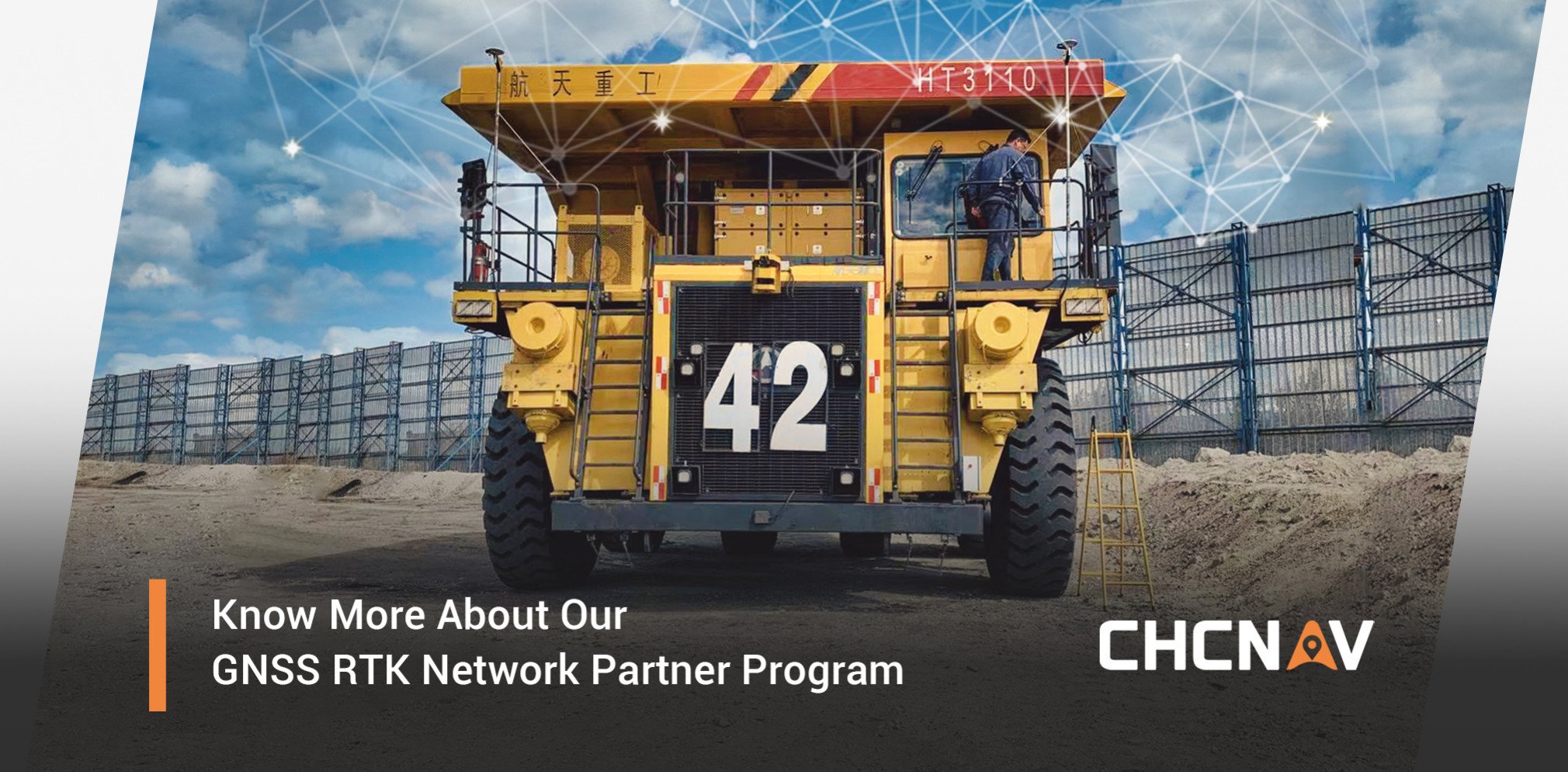
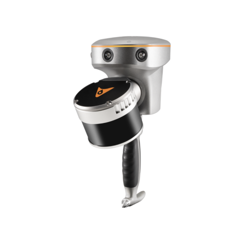
GNSS and Mobile GIS Systems
Machine guidance and steering
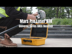
Positioning and Navigation
- AHRS - Attitude Heading and Reference Systems
- Accelerometers
- Altimeters
- DVLs - Doppler Velocity Logs
- GNSS Antennas
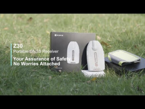
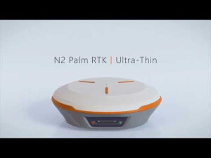
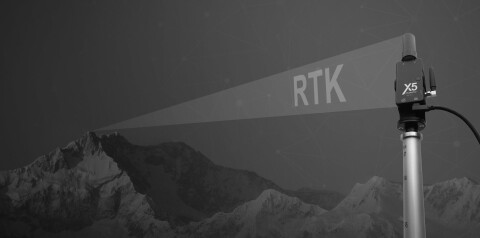
- GNSS Receivers
- GNSS Repeaters
- GPS and Heading
- Gyroscopes
- IMUs - Inertial Measurement Units
- INS - Inertial Navigation Systems
- MRUs - Motion Reference Units
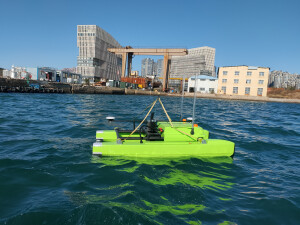
- Marine Navigation Systems
- Portable Marine Survey Systems
- Radios and Modems
- Subsea Cables
- Subsea Connectors
- Transponders (Acoustic Release and Positioning)
- USBLs and SSBLs
- Underwater Acoustic Modems
Software and Data Management
- Automatic Blurring Software
- BIM Software
- Big Data Management Systems
- CAD Software
- Flight Planning and Management Software for Manned Aviation
- GIS Software
- GNSS Processing Software and Correction Services
- Ground Station Software
- Hydrographic Acquisition Software
- Hydrographic Processing Software
- Photogrammetric Imagery Processing Software
- Point Cloud Processing Software
- Remote Sensing Image Processing Software
- Sediment Classification Software
- Survey Software
- UXO Detection and Analysis Software
- Verification and Validation


