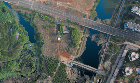
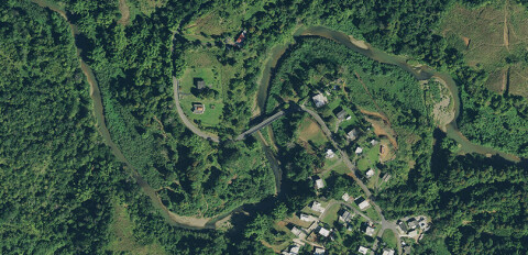
Total Stations and Levelling Instruments
- Laser Rangefinders
- Levelling Instruments
- Mobile GIS Systems and Field Controllers
- Rotary Laser Levels
- Theodolites
- Total Stations
Software and Data Management
- Automatic Blurring Software
- Big Data Management Systems
- BIM Software
- CAD Software
- GIS Software
- Flight Planning and Management Software for Manned Aviation
- Ground Station Software
- Hydrographic Processing Software
- Hydrographic Acquisition Software
- Photogrammetric Imagery Processing Software
- Point Cloud Processing Software
- Survey Software
- Remote Sensing Image Processing Software
- Sediment Classification Software
- Verification and Validation
- UXO Detection and Analysis Software
- GNSS Processing Software and Correction Services
Photogrammetry and Remote Sensing
- Automatic Blurring Software
- Aerial and Satellite Imagery Products
- Airborne Laser Scanning
- Airborne Radars
- Digital Aerial Cameras
- Gamma Spectrometers
- Hybrid Aerial Mapping Systems
- Photogrammetric Imagery Processing Software
- Point Cloud Processing Software
- Remote Sensing Image Processing Software
- Weather Stations
UAS and Airborne Lidar
- Airborne Laser Scanning
- Gimbals and Mounting Systems
- Hybrid Aerial Mapping Systems
- Lidar Sensors
- UAS Cameras
- UAS Lidar Systems
- UAS for Mapping and 3D Modelling
- UAS for Surveillance and SAR
- Thermal, Multi- and Hyperspectral Cameras
Lidar and radar systems
- Airborne Laser Scanning
- Airborne Radars
- GPR - Ground Penetrating Radars
- Handheld Laser Scanners
- Mobile Mappers
- Laser Rangefinders
- Lidar Sensors
- Portable and Indoor Mobile Mappers
- Surveying Prisms
- Terrestrial Laser Scanners
- UAS Lidar Systems
Software and Data Management
- Automatic Blurring Software
- Big Data Management Systems
- BIM Software
- CAD Software
- GIS Software
- Flight Planning and Management Software for Manned Aviation
- Ground Station Software
- Hydrographic Processing Software
- Hydrographic Acquisition Software
- Photogrammetric Imagery Processing Software
- Point Cloud Processing Software
- Survey Software
- Remote Sensing Image Processing Software
- Sediment Classification Software
- Verification and Validation
- UXO Detection and Analysis Software
- GNSS Processing Software and Correction Services
Subsea and surface vehicles
- AUVs - Autonomous Underwater Vehicles
- Gimbals and Mounting Systems
- USVs - Unmanned Surface Vehicles
- ROVs - Remotely Operated Underwater Vehicles
- AUV, ROV and USV Control Systems
- Small Survey Boats
- Transducers (Acoustic)
- Weather Stations
- Altimeters