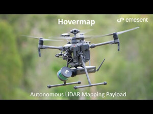
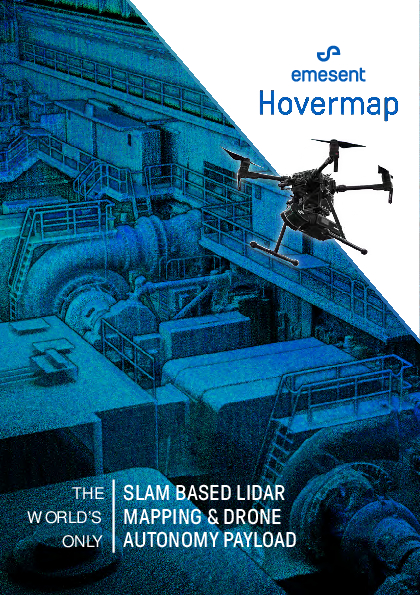
Hovermap
SLAM-based LiDAR Mapping and Autonomy Payload
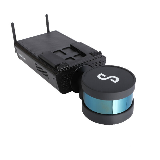
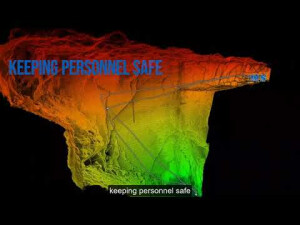
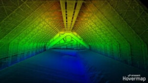
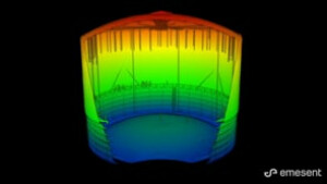
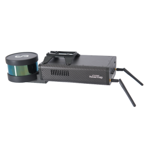
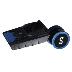
Hovermap, is a smart mobile scanning unit that combines advanced collision avoidance and autonomous flight technologies to map hazardous and GPS-denied environments.

Emesent
Milton, AU
Description
Hovermap, is a smart mobile scanning unit that combines advanced collision avoidance and autonomous flight technologies to map hazardous and GPS-denied environments. Its award-winning technology utilizes innovative hardware, advanced algorithms and machine learning to automate collection and analysis of the physical world. Equally capable above ground or underground, indoors or out, Hovermap is a complete mobile LiDAR mapping solution. Hovermap is uniquely versatile, it can be handheld, drone- or vehicle-mounted to map challenging, inaccessible areas enabling our customers to gain insights that were not possible before.
Do you have questions about this product?
- Questions about price, availability, and/or retailers
- Questions about technical specifications and usage
- Questions about suitability for your project or application
Specifications
-
General
-
Year of introduction
2019
Year of last update
2019
Total Weight [kg]
1.8
Power requirements
12-54V
Type of GNSS/INS positioning system
SLAM-based
Data storage facilities
500GB
Postprocessing software
Emesent SLAM-based desktop processing
-
Application
-
Main applications
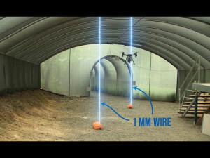
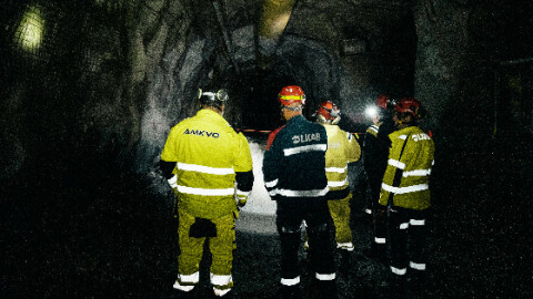
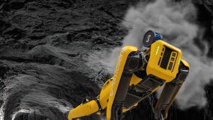
underground mining, above-ground mining, telecom towers, transmission towers, bridges
-
Measurement Characteristics
-
Max. field of view [deg]
360
Max. number of recorded echoes per pulse
2
Full-wave form digitization
N
multiple pulses in air
N
-
Operation Characteristics
-
Platform
RPAS (UAV/UAS)
Min. flying height [m]
1
Max. flying height [m]
80
Max. acquisition time [hr]
12
-
Laser Pulse Characteristics
-
Wavelength [nm]
905
Type/class laser
1
-
More information
-
Distinguishable features
Rotating lidar provides 360x360 FOV
-
Application areas
-
Select an application area:
Documents
Brochure
hovermap-general-brochure.pdf
966.83 KB
Other documents
-
Hovermap Spec Sheet115.4 KB
-
Hovermap SLAM factsheet2.59 MB


