Join 40,000+ geospatial professionals and get technology news delivered straight to your inbox every week. Subscribe today.

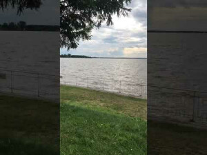
Point Cloud Data Visualization | Cygnus SLAM scanner

SatLab 40 views

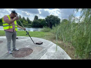
Data visualization - backpack-mounted Cygnus SLAM scanner captures point cloud of indoor, outdoor, and semi-open areas. The dataset reached an absolute accuracy of 5cm even GNSS signal was obstructed, enabling further use in planning and construction.

🔍 Have questions or specific interests in these visualizations? Chat with SatLab team: [email protected]


Ask a question

SatLab team is happy to assist.

SatLab

We're available on all weekdays and usually reply within 1-2 working days.

Please provide detailed information. Your input helps SatLab assist you effectively.

Let us know a little about you and your contact information.

Do you represent a company or organization?

Before we proceed, would you be interested in subscribing to our newsletter?

By completing this form, you acknowledge and agree to abide by our Terms and Conditions, Privacy Policy and Cookie Policy.

Thank you for your message! Our team tipically to respond to inquiries within 1-2 business days.