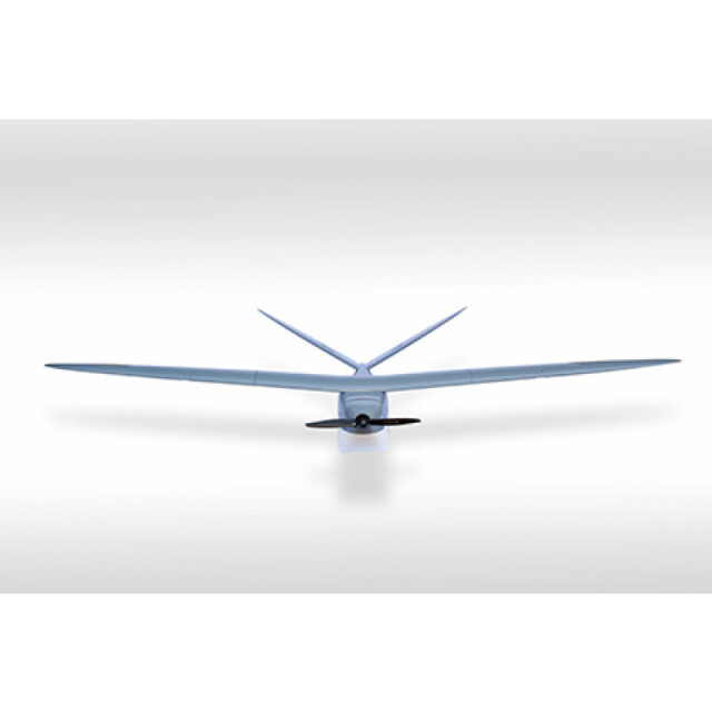
DT26x Surveillance
The ultra-long range UAV with high-value added sensors.
Delair
Labège, FR
Description
The ultra-long range UAV with high-value added sensors
Specifications
-
Environment
-
Min. operation temperature [°C]
-10
Max. operation temperature [°C]
55
Max. wind speed [m/sec]
20
Max. humidity [%]
100
-
Imaging/scanning devices
-
Type of Camera
EO & IR camera; 8-14 μm, auto focus
Build-in Stablilsation
Y
Exchangeable
N
Sensor tilting to allow oblique views
Y
Onboard imaging/scanning devices
Lidar, Additional sensors
Type of Lidar
Riegle VUX-1
Additional Sensors and additional information
HD EO/IR Surveillance Turret
-
Platform
-
Platform
Aircraft
Brand
Delair-Tech
Max. payload [kg]
2
Max. stay in the air [min]
150
Max. speed [km/h]
110
Max. height above sea level [m]
4000
Propulsion
Electric, brushless motors (lithium-polymer)
-
Operation Characteristics and Safety
-
Min. ø of launch/landing site [m]
15
Launching method
Hand or catapult
Automatic launch and landing
Y
Training provided
Y
Collision avoidance systems (CAS)
Y
Autonomous emergency landing
Y
-
Dimensions
-
ø / wingspan [cm]
330
Height [cm]
160
Weight [kg]
15
Weight of battery [kg]
0.5
Weight of filled fuel tank [kg]
0
Number of rotors
1
Transport on human back
Y
-
Base Station
-
Ground computer included
N
Type of Ground computer
Laptop
Sensor control
Y
Real time image and video download link
Y
-
Navigation Sensors
-
Type of IMU
All-axis
Other sensors and additional information
GPS-less, vision based navigation
-
General
-
Year of last update
2015
Typical applications
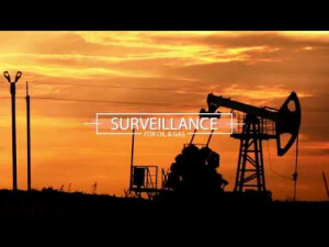
Surveillance, Oil & gas, Fire fighting
-
Included software and automatically generated
-
Type of software included
Flight planning, Photogrammetric software, Point cloud processing software
Flight planning software
Solapp
Automatically Generated Products
3D Landscape Models, DEMs, Orthomosaics
Photogrammetric software
Pix4D / Correlator 3D / Agisoft Photoscan
Point cloud processing software
Pix4D


