About Delair
Delair provides complete drone solutions, including hardware, software and services for use in agriculture, geospatial, security and defense, transportation, electric power, oil and gas, and mining.
Our industrial customers can harness the power of UAVs, turning aerial data into actionable business intelligence.Delair masters the entire drone technology value chain, from hardware to application specific data processing, making it the natural partner for all industrial customers who wish to include UAV technologies in their daily tasks with immediate productivity improvements and ROI.
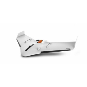
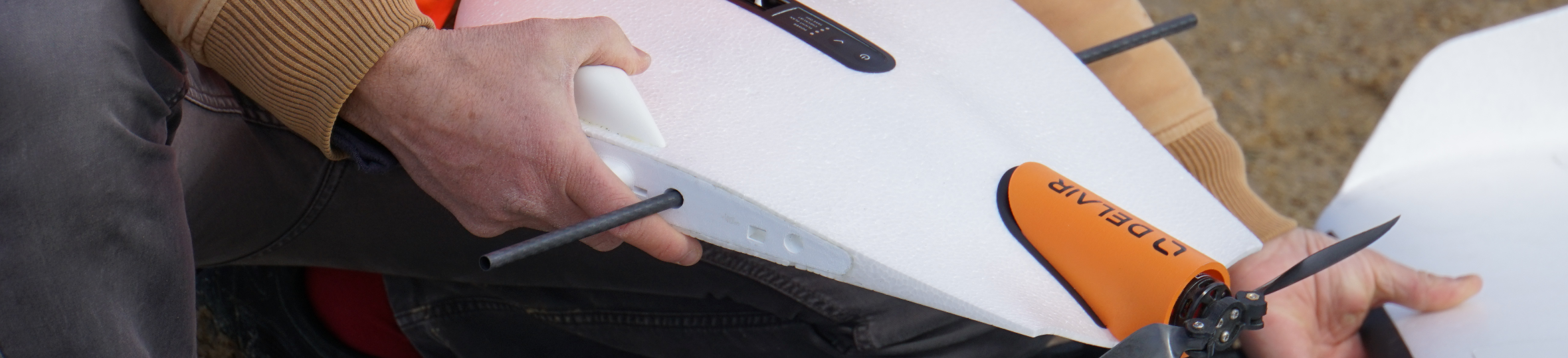
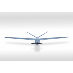
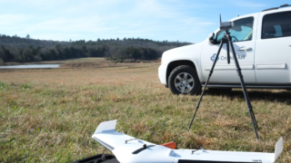
Delair hardware product offers unrivalled Data Quality, Quick ROI, Airworthiness & Safety, Robustness and Interoperability.Two hardware product lines are available:
- The professional line is composed of easy-to-use, highly integrated, cost-effective drones for a seamless user experience
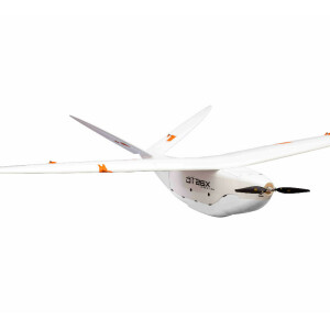
- The expert line features high performance, BVLOS certified, long-range drones, embarking high-grade payloads with centimetric resolution and accuracy.
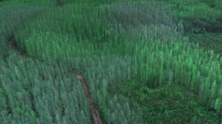
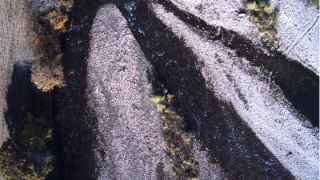
Specialist in aerial data processing, Delair develops and markets a dedicated analytics platform, the UAV Geographic Information System Platform. The system is designed to process and store geo-referenced data and delivers analytics, containing actionable business intelligence for industrial customers.It's the ultimate solution for aerial data processing. It automates the entire workflow, from photogrammetry to business analysis, offering tremendous productivity gains. The platform implements state of the art AI technologies applied to aerial data, such as machine learning, computer vision, convolutional neural networks...We provide a mature toolset for vertical applications, encapsulating advanced pattern recognition, classification, and change detection.
Featured products
Main office
-
676, Rue Max Planck
31670 Labège
France -
+33 9 71 16 99 26
- https://delair.aero/


