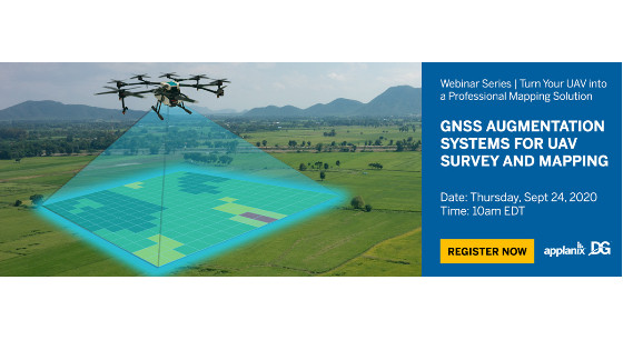
Turn Your UAV into a Professional Mapping Solution
Thu, Sep 24, 2020 at 10:00 AM (EDT)
1 hour
This is the second webinar in our series, "Turn Your UAV into a Professional Mapping Solution". This installment will focus on using the differential corrections systems required to accurately georeference your UAV survey and mapping imagery.
his is the second webinar in our series, "Turn Your UAV into a Professional Mapping Solution". This installment will focus on using the differential corrections systems required to accurately georeference your UAV survey and mapping imagery.
What you can expect from part 2:
We will explore three different solutions for correcting your UAV imagery. These solutions include working with:
- a physical base station
- a virtual reference station (Applanix SmartBase)
- Trimble’s global PP-RTX solution
We will provide details on how each solution operates, as well as information on when best to use each solution. We will also cover post-processing the data with POSPac UAV to produce accurately georeferenced image data ready for product generation within an end-user application.
Not able to attend? Complete the registration today and we will send you a recording of the webinar.
Speakers
|
Brad Schmidt Global UAV Sales Manager, Applanix Brad is a geomatics specialist with a passion for helping companies turn their UAVs into professional mapping solutions. |
