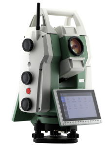


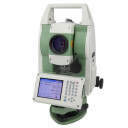

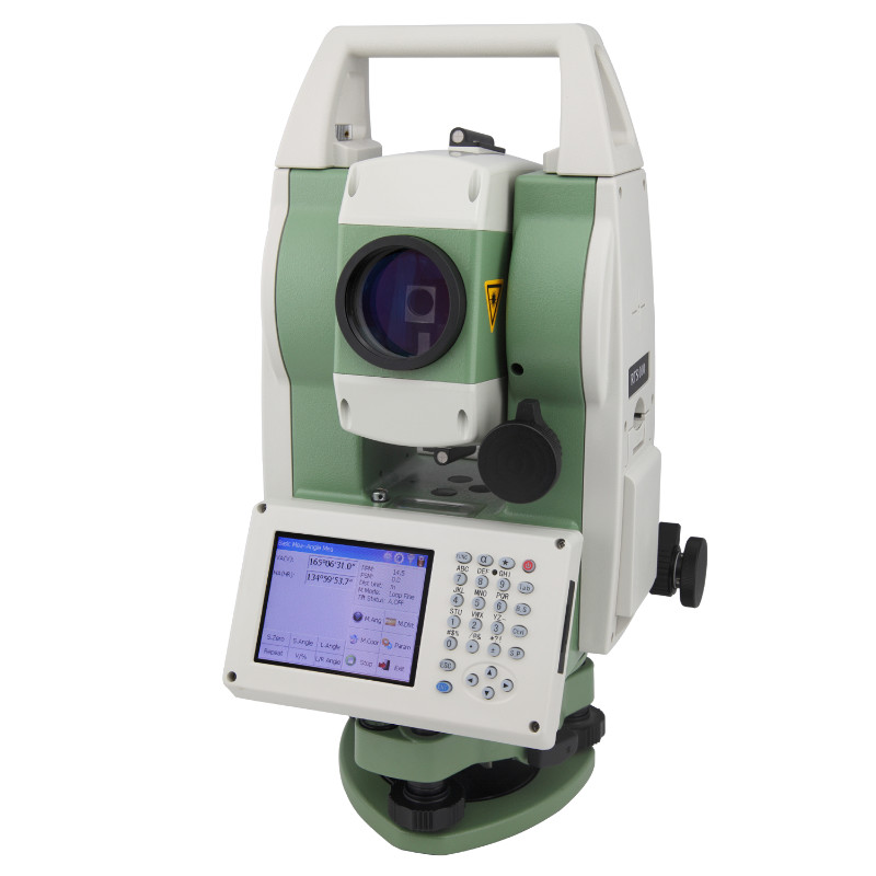


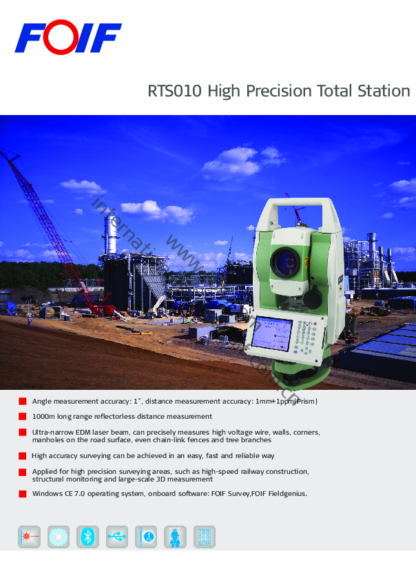
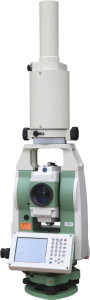
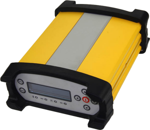
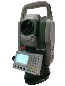
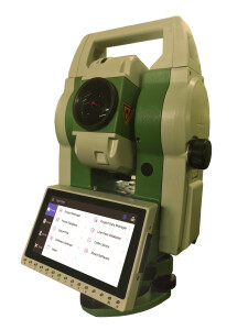
RTS010 High Precision Total Station
High precision design, new axis and four-encoder system are adopted to ensure measuring accuarcy, angle measurement accuracy reaches to 1″, distance measurement accuracy reaches to 1mm+1ppm.

FOIF
Suzhou, CN
Description
Do you have questions about this product?
- Questions about price, availability, and/or retailers
- Questions about technical specifications and usage
- Questions about suitability for your project or application
Specifications
-
General
-
Year of introduction
2012
Height [m]
0.36
Width [m]
0.18
Depth [m]
0.22
Weight [kg]
6.5
Area of Application
Construction, land management, geodesy, heritage protection, etc.
Year of last update
2020
Display Panel
3.5" colour TFT LCD (320 x 240 dots) touch screen
-
User Interface
-
No. faces
2
Screen size: length of diagonal ["]
3.5
No. keys
26
Color display
Y
Note recording capability
Y
On-board survey software
FOIF BaseMeasure, FOIF Surpad
Operating System
wince 7.0
Resolution [px rows x columns]
320*240
Screen type
TFT LCD
Touchscreen
Y
-
Distance Measurement with Prism
-
Standard deviation: constant part [mm]
1
Standard deviation: variable part [ppm}
1
Maximum range with 1 mini prism [m]
1200
Maximum range with 1 standard prism [m]
3500
Maximum range with combined prisms [m]
6000
No. prisms for maximum range
3
Prism EDM Range [m]
6000
Prism EDM Accuracy [mm]
1mm+1ppm
Measuring Time [s]
1
-
Integrated camera
-
Integrated camera available [Y/N]
N
-
Data Storage & Connectivity
-
Bluetooth {Y/N}
Y
Compact Flash [Y/N]
Y
Internal memory [GB]
4
Radio [Y/N]
N
RS-232 /422 Serial [Y/N]
Y
SD Card [Y/N]
N
USB [Y/N]
Y
WiFi {Y/N}
N
-
Miscellaneous
-
Guiding light
N
Integration with GNSS receiver possible [Y/N]
N
Laser plummet
Standard
-
Automatic Tracking and Locking
-
Tracking and recovery of moving prism
N
-
Robotic operation
-
Camera in controller
N
Compatible with GNSS for detail survey
N
Graphical field note storage on controller
N
-
Integrated Laser Scanning
-
Integrated laser scanning available [Y/N]
N
-
Operation
-
IP dust/water protection class [IPxx]
IP54
Maximum working temperature [degC]
50
Minimum working temperature [degC]
-20
-
Distance Measurement without Prism
-
Standard deviation: constant part [mm]
2
Standard deviation: variable part [ppm]
2
Maximum range on Kodak gray [m]
500
Maximum range on Kodak white [m]
1000
Non-Prism Range [m]
1000
Non-Prism Accuracy [mm]
2mm+2ppm
-
Power Supply
-
Capacity
3400mAh
Max. operation time on one battery [hr]
8
Battery
Y
Batteries hot-swappable
Y
-
Support
-
Reach of global support network
Yes
Standard warranty [years]
1
-
Angle Measurement
-
Standard deviation [arcsec]
1
Division [arcsec]
1
Standard deviations of other versions in serie
1"
Compensation
Dual axis
IACS
No
Vertical Coverage
360°(dms/d)/400gon/6400mil
Horizontal Rotation
360°(dms/d)/400gon/6400mil
Guide Light
No
-
More information
-
Distinguishable features
Angle measurement accuracy: 1″, distance measurement accuracy(Prism): 1mm+1ppm
-
Connectivity
-
Bluetooth
Y
Other connectors or connector specifications
USB host/USB slave/RS-232C/Bluetooth(Optional)
RS232
Yes
USB
Yes
-
Hardware
-
Laser Plummet
Yes
Auto Leveling
No
LED Indicators
No
Documents
Brochure
RTS010 brochure_En.pdf
1.59 MB
