
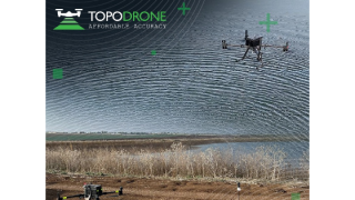
About TOPODRONE
We design and manufacture affordable LiDAR & UAV solutions for high-precision survey and mapping.
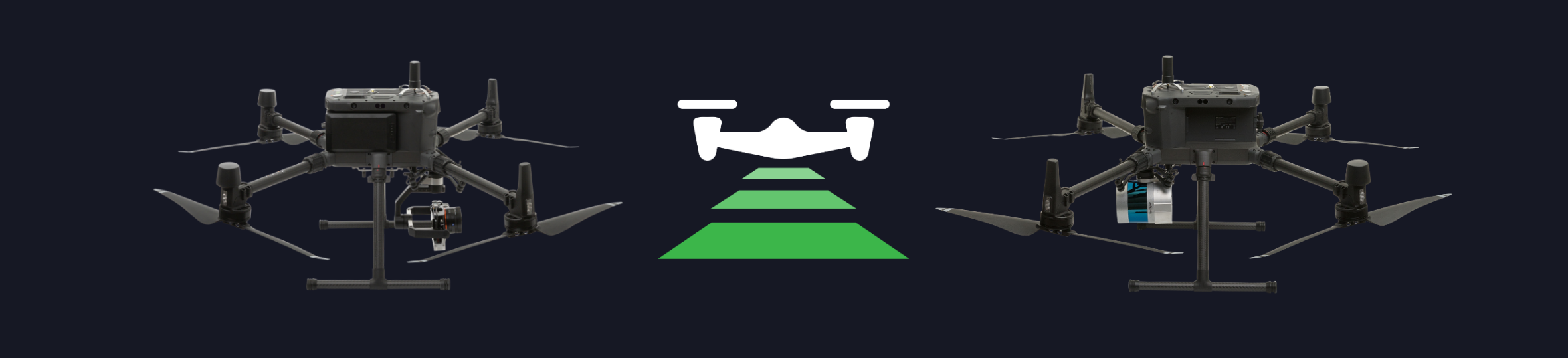
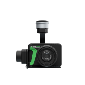
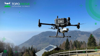
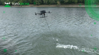
We offer ready-to-fly and easy to use drones with additionally installed GNSS receiver connected with modified and calibrated camera, everything you need to get high accuracy data up to 3 cm XYZ accuracy without using ground control points (GCP).
We develop and supply easy to install PPK upgrade kits for DJI Mini, DJI Mini 2, DJI Air 2S, DJI Mavic 2 Pro, DJI Phantom 4 Advanced / Pro / Pro v2.0, DJI Matrice 200 / 210 / 300 / 600 Pro drones.
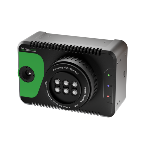
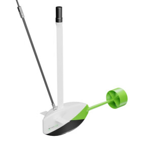
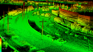
We develop and supply LiDARs for aerial and terrestrial laser scanning which allow to get terrain level under the trees and make survey 10 times faster then photogrammetry.
Featured products
“Our mission is to provide affordable and reliable solutions for surveyors all over the world.”
Maxim Baklykov
Main office
-
Rue de la Gare 13
1820 Montreux
Switzerland -
+41 21 588 02 11
- https://topodrone.com/