

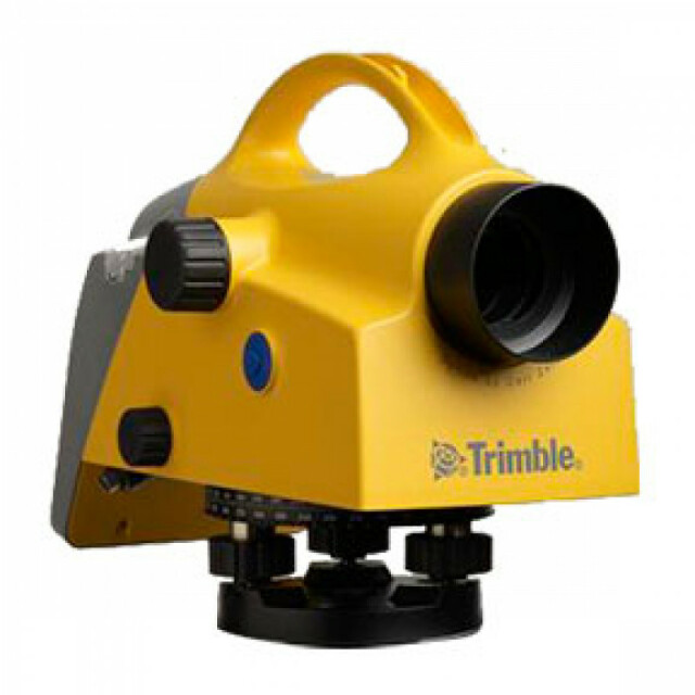
Description
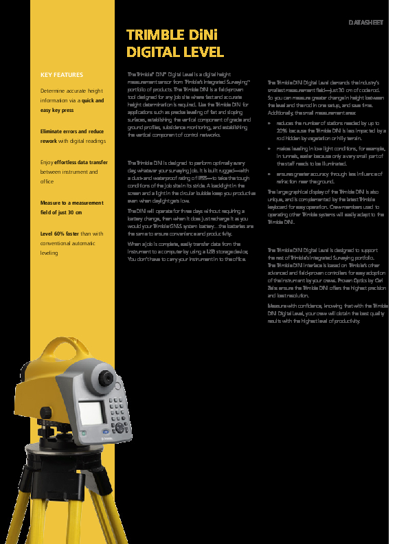
The Trimble DiNi is a field-proven tool designed for any job site where fast and accurate height determination is required. Use the Trimble DiNi for applications such as precise leveling of flat and sloping surfaces, establishing the vertical component of grade and ground profiles, subsidence monitoring, and establishing the vertical component of control networks.
Do you have questions about this product?
- Questions about price, availability, and/or retailers
- Questions about technical specifications and usage
- Questions about suitability for your project or application
Specifications
-
General
-
Weight [kg]
3.5
Water sand and dust proof
IP55
Operating temperature: min. [°C]
-20
Operating temperature: max. [°C]
50
-
Telescope
-
Objective aperture [mm]
40
Telescope magnification
32
Viewing section at 100 meter [m]
2.2
Autofocus
Y
-
Compensator
-
Accuracy of compensator or bubble
Inclination range: ±15' - Setting accuracy: Trimble DiNi 0.3 mm per km: ±0.2" Trimble DiNi 0.7 mm per km: ±0.5"
Automatic compensator
Y
-
Data Storage & Connectivity
-
External memory
USB Flash Drive support
Internal Memory [data points]
30000
-
Operation Characteristics
-
Min. measuring range [m]:
1.5
Max. measuring range [m]
100
Measuring time [s]
3
Resolution/interval distance measurement
1 mm
Visible guiding light
N
Type of screen
Graphical, 240 x 160 pixels, monochrome with illumination
-
Power
-
Battery
Y
Max. operation time on one battery [hr]
72
Documents
Brochure
migrationwxbxgt.pdf
105.73 KB
Other documents
-
Controlling the "Big Build"397.72 KB
-
Case study 2 (2)408.79 KB
-
A New Model of History1.08 MB
-
Aluminum of the Fjords159.61 KB
-
So Where Did They Hide the Field?212.36 KB


