
SurveyTransfer App
GET STARTED WITH MAP AND 3D DATA SHARING
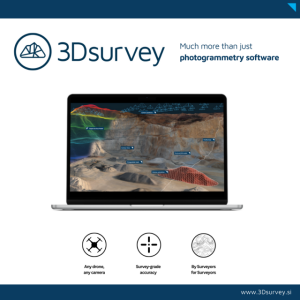
Elevate your surveying business with SurveyTransfer: a web-based powerhouse for drone mappers, surveyors, and 3D professionals, enabling seamless collaboration, secure file sharing, and rendering massive maps & 3D assets in real-time for interactive.
Description
Elevate your collaborative mapping game with SurveyTransfer!
🌐 Seamless Collaboration: SurveyTransfer enables real-time collaboration, allowing you to effortlessly share and work on massive maps & 3D assets with your team. Say goodbye to cumbersome file transfers!
🌐 Instant Web Display: Thanks to SurveyTransfer's automatic processing module, uploaded maps and 3D files are viewable on the web. No more waiting for downloads – your data is ready for exploration at the speed of your imagination!
🌐 No Additional Software Needed: Forget about installations and compatibility issues! SurveyTransfer displays files directly on the map and in 3D without the need for extra software, making it hassle-free and accessible.
🌐 User-Friendly Interface: Developed in collaboration with industry experts, SurveyTransfer caters to both seasoned GIS professionals and newcomers. Its intuitive design ensures a smooth experience for everyone involved in your project.
🌐 Anytime, Anywhere Access: No high-performance computer required! SurveyTransfer opens in your web browser, making it accessible on various devices, even mobile phones. View high-resolution maps and 3D files on the go!
Ready to revolutionize your mapping collaboration? Explore the possibilities with SurveyTransfer! 🚀
Dive into the world of SurveyTransfer with our FREE 14-day trial, offering 2 GB of free storage! 🗺️
Specifications
-
Data management
-
Search on file content
Y
Security options for access
Y
Spatial reference system
From data source, Selectable
Version management
Y
-
Geometry types
-
Lines
Polyline, Line segment, Multiline, Arc, B-spline, Others
Points
Point, Multipoint, Symbol, Text, Others
Raster
Reference
Surfaces
Polygon, Circle, Multipolygon, Others
-
Other
-
License or freeware
License
-
Storage
-
Compression
Y
Export formats
Dwg, Dxf, Shape, GeoTiff, Others
Input formats
Dwg, Dxf, Shape, GeoTiff, Others
Type of data storage
File, Database, Public cloud, Private cloud, Internet, Other
-
Visualisation
-
Change view
Zoomfactor, Target point, Twist angle
-
General
-
Main GIS category
Internet GIS
Supported operation system
Windows, Mac OS X, Linux, Unix, Other
