
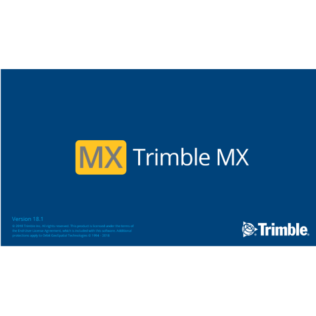
MX software suite
Trimble MX software is a powerful solution which allows managing mobile mapping content, extract features, perform measurements and collaborate with stakeholders, all within one platform. Maximize your return by letting Trimble MX software do the work.

Trimble, Inc.
Westminster, US
Description
Trimble MX software is a powerful solution which allows managing mobile mapping content, extract features, perform measurements and collaborate with stakeholders, all within one platform. Maximize your return by letting Trimble MX software do the work.
Do you have questions about this product?
- Questions about price, availability, and/or retailers
- Questions about technical specifications and usage
- Questions about suitability for your project or application
Specifications
-
Data management
-
Security options for access
Y
Search on file content
Y
Spatial reference system
Selectable
-
Geometry types
-
Lines
Line segment, Polyline, Multiline
Points
Point, Multipoint, Symbol, Text
Surfaces
Polygon, Circle, Multipolygon
Raster
Reference
-
Other
-
License or freeware
License
Training
Y
Main applications
asset management
Related products
Trimble MX7, Trimble MX9
Distinguishable features
ease of use, multiple users access, ease of data handling
Extensions
PlugIns for : AutoCAD-map, QGIS desktop, ArcGIS desktop
-
2D Editing
-
Select
By drawing attributes, Select by administrative attributes, Within buffer, Spatial selection, Multiple select
Remove
By select, By attributes, By layer
Graphic transformations
Coordinate transformations
Coordinate Frame Rotation (9607), Geocentric transformation (9603), Longitude rotation (9601), Molodensky-Badekas (9636), Position Vector transformation (9606)
-
2D Construction
-
Positioning by coördinates
Y
Positioning in relation to other element
Parallel, Extend, Perpendicular, Particular angle, Symmetric, Others
Positioning by snapping
Y
-
Storage
-
Type of data storage
File
Native storage format
.ovf, .ovt, .oxf, .ovs, .oif, .omi, .opc and others
Input formats
Dxf, Shape, KML, GeoTiff, ECW, Jpg, Others
Export formats
Dxf, Shape, KML, Jpg, Others
Compression
Y
-
Visualisation
-
Types
Color, Pattern, Gradient color
Change view
Zoomfactor, Target point, Twist angle
Thematic mapping
Contour map
-
Interoperability
-
Web standards
WMS, WMTS, WFS
Spatial database management systems
Oracle, PostGIS, SQLite
Messaging protocols
None
Extensions
.NET
Available API’s
SDK
Metadata
Creation, Management, Others
-
General
-
Year of introduction
2016
Year of last update
2018
Supported hardware
Trimble MX7, Trimble MX9
Supported operation system
Windows
Main GIS category
Desktop GIS, Internet GIS
-
Data analysis
-
Merge
Attribute table to geometry
Clip
Y
Buffer
Point buffer, Line buffer, Polygon buffer, Multiple buffers, Dissolve buffers
Overlay operations
Related products


